WTasUAV5 Map
 |
5 |
01/01/9999 midnight |
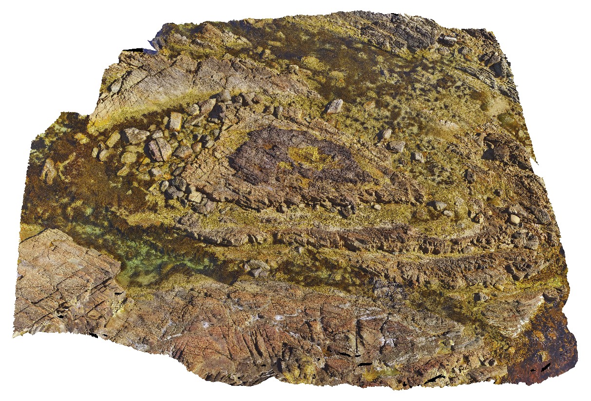
3D UAV photogrammetric model |
aerial view of folds in sandstone and siltstone Silurian aged rocks with detail of small basin. Duck Creek, west coast, Tasmania. |
20.00 |
-41.76892000000 |
145.00370700000 |
-9999.000 |
fold, basin, structure, multiple folds |
sandstone |
BluestoneFSP4 Map
 |
5 |
01/01/9999 midnight |
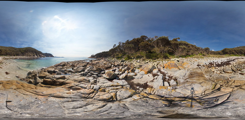
Full Spherical Panorama |
View of granodiorite with abundant xenoliths. Bluestone Bay, Freycinet. Tasmania. |
500.00 |
-42.10553000000 |
148.33378800000 |
2.000 |
xenolith, granodiorite, intrusive |
granodiorite |
WTasFSP28 Map
 |
5 |
01/01/9999 midnight |
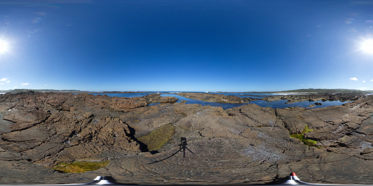
Full Spherical Panorama |
shallowly to moderately dipping, pale grey, fine-grained quartz sandstone with subordinate interbedded greenish-grey siltstone. Abundantly fossiliferous in parts. Duck Creek, West Tasmania. |
1000.00 |
-41.76839000000 |
145.00325000000 |
-9999.000 |
sandstone, dip, bedding |
sandstone |
WTasFSP29 Map
 |
5 |
01/01/9999 midnight |
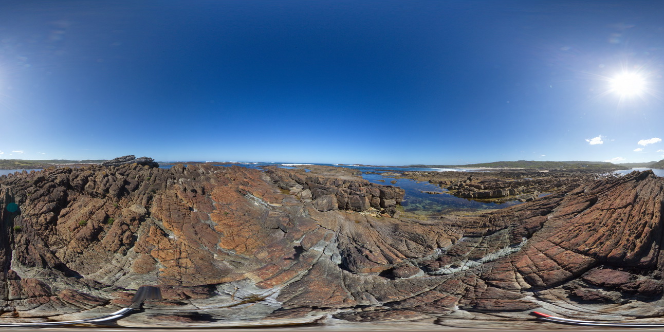
Full Spherical Panorama |
shallowly to moderately dipping, fine-grained, cross bedded quartz sandstone with subordinate interbedded greenish-grey siltstone. Abundantly fossiliferous in parts. Duck Creek, West Tasmania. |
1000.00 |
-41.76839000000 |
145.00346000000 |
-9999.000 |
dip, bedding, cross bedding, structure, sedimentology |
sandstone |
WTas13 Map
 |
5 |
01/01/9999 midnight |
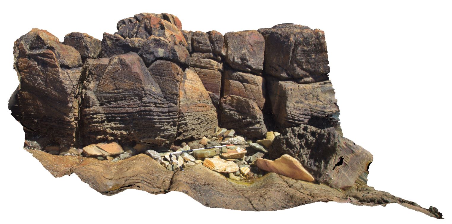
3D terrestrial photogrammetric model |
folds and cross bedding in Silurian Eldon Group rocks. Lineations also evident. Duck Creek, west coast, Tasmania. |
4.00 |
-41.76839000000 |
145.00342000000 |
-9999.000 |
fold, structure, cross bedding, sedimentology, lineation, L0, L1 |
sandstone |
WTasFSP30 Map
 |
5 |
01/01/9999 midnight |
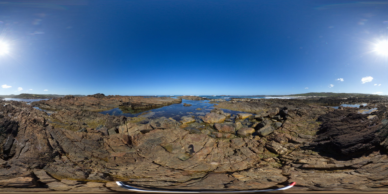
Full Spherical Panorama |
shallowly to moderately dipping, fine-grained, cross bedded quartz sandstone with subordinate interbedded greenish-grey siltstone. Abundantly fossiliferous in parts. Duck Creek, West Tasmania. |
1000.00 |
-41.76828000000 |
145.00345000000 |
-9999.000 |
bedded, sandstone, dip |
sandstone |
WTasFSP31 Map
 |
5 |
01/01/9999 midnight |
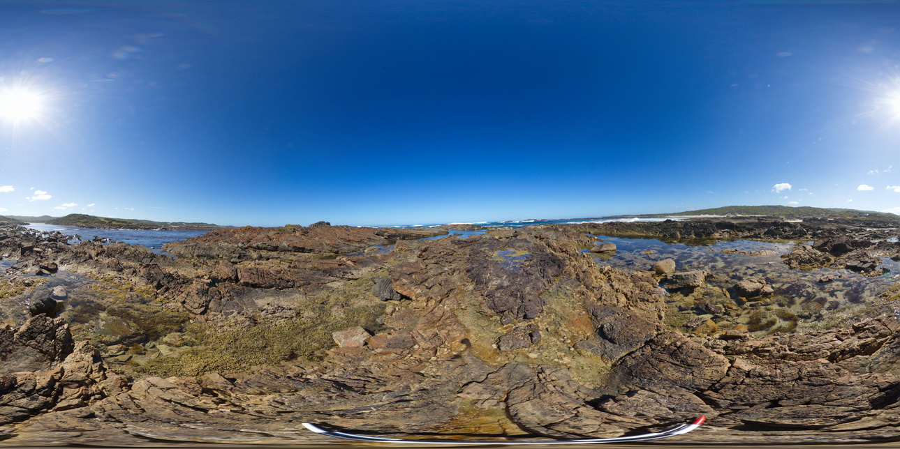
Full Spherical Panorama |
view of shallow basin in shallowly dipping, fine-grained, quartz sandstone and siltstone. Duck Creek, West Tasmania. |
1000.00 |
-41.76824000000 |
145.00360000000 |
-9999.000 |
folding, basin, structure |
sandstone |
WTas14 Map
 |
5 |
01/01/9999 midnight |
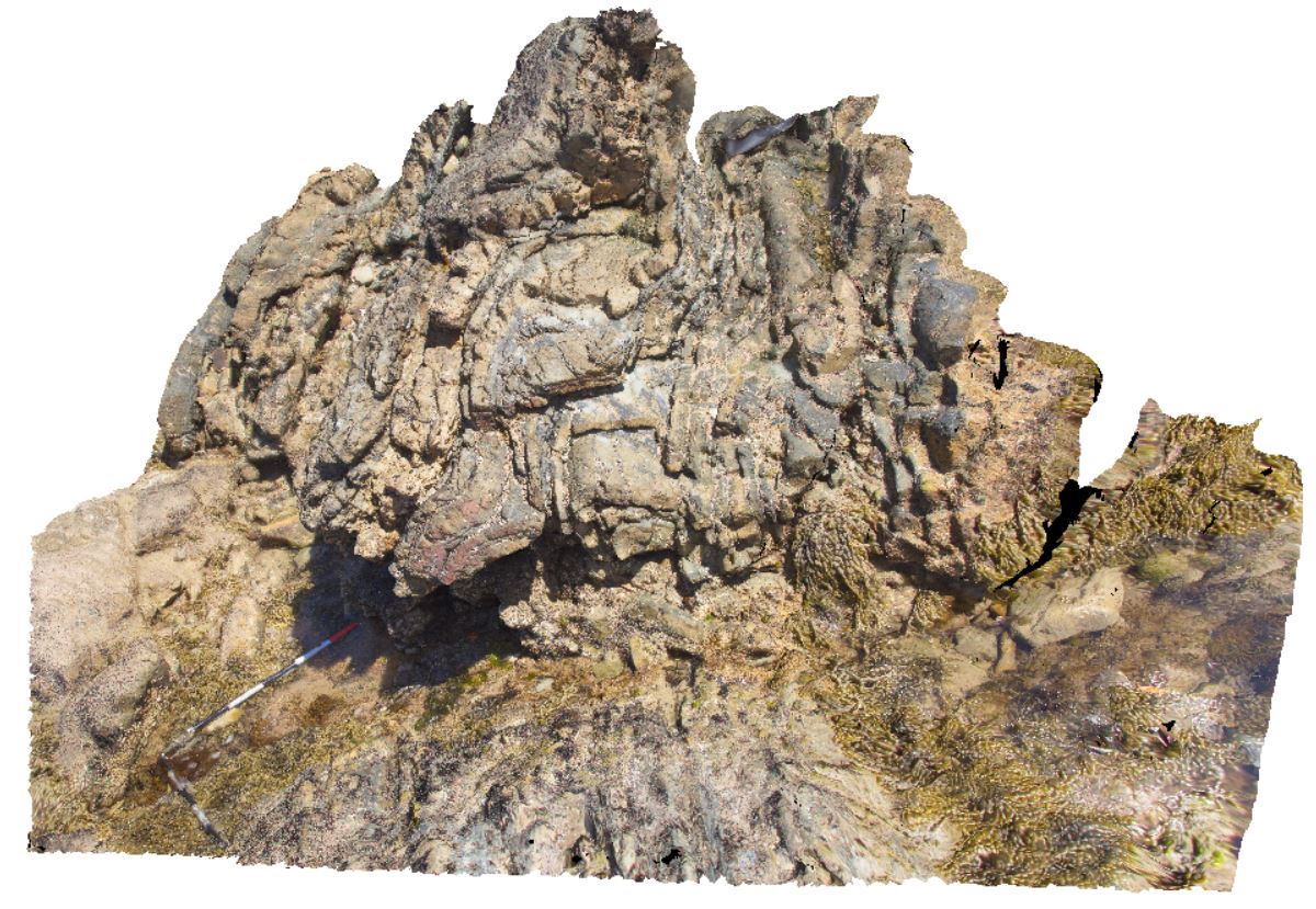
3D terrestrial photogrammetric model |
'S' folds on fold limb in Silurian Eldon Group sandstones and siltstones. Duck Creek, west coast, Tasmania. |
3.00 |
-41.76817000000 |
145.00381000000 |
-9999.000 |
fold, 'S' fold, fold limb, structure |
sandstone |
WTasFSP33 Map
 |
5 |
01/01/9999 midnight |
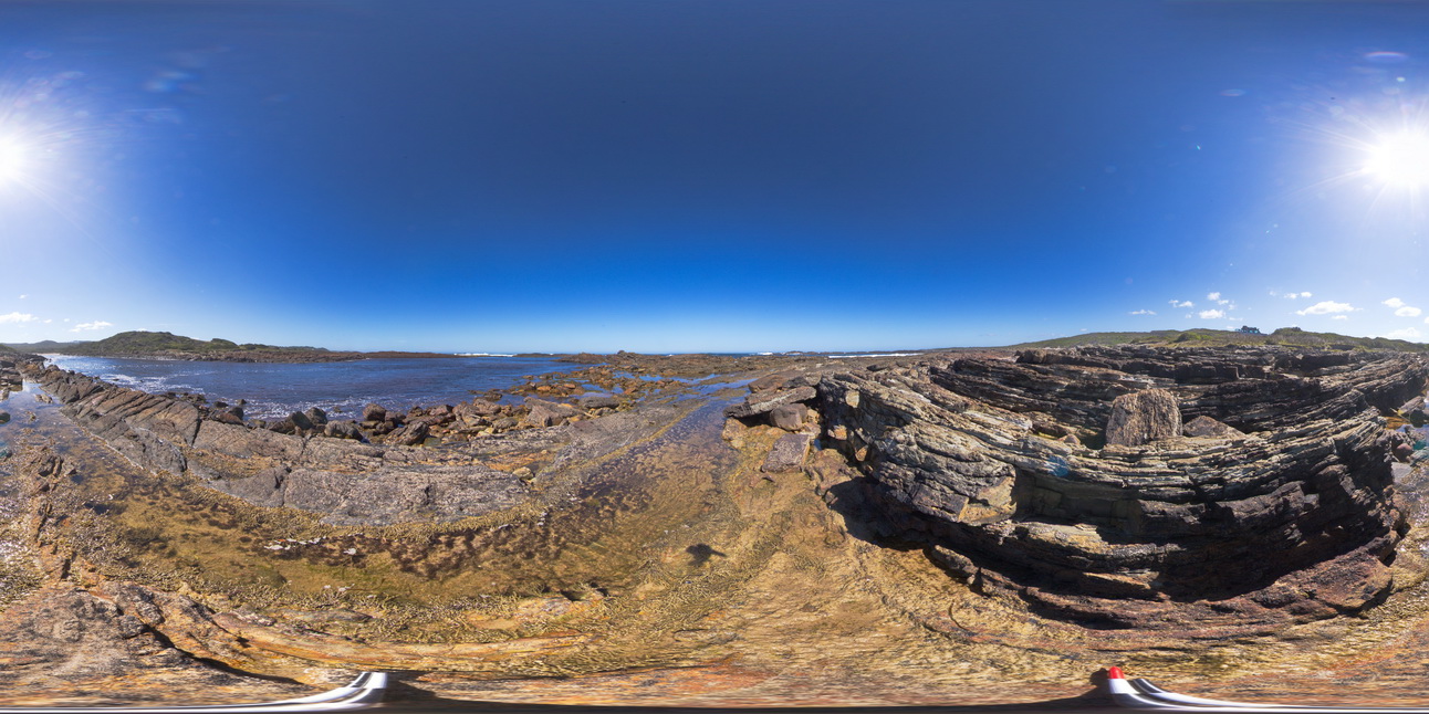
Full Spherical Panorama |
view of shallow to moderately dipping, thinly bedded sandstones and siltstones. Duck Creek, west coast, Tasmania. |
1000.00 |
-41.76815000000 |
145.00415000000 |
-9999.000 |
bedding, dip, structure |
sandstone |
WTas16 Map
 |
5 |
01/01/9999 midnight |
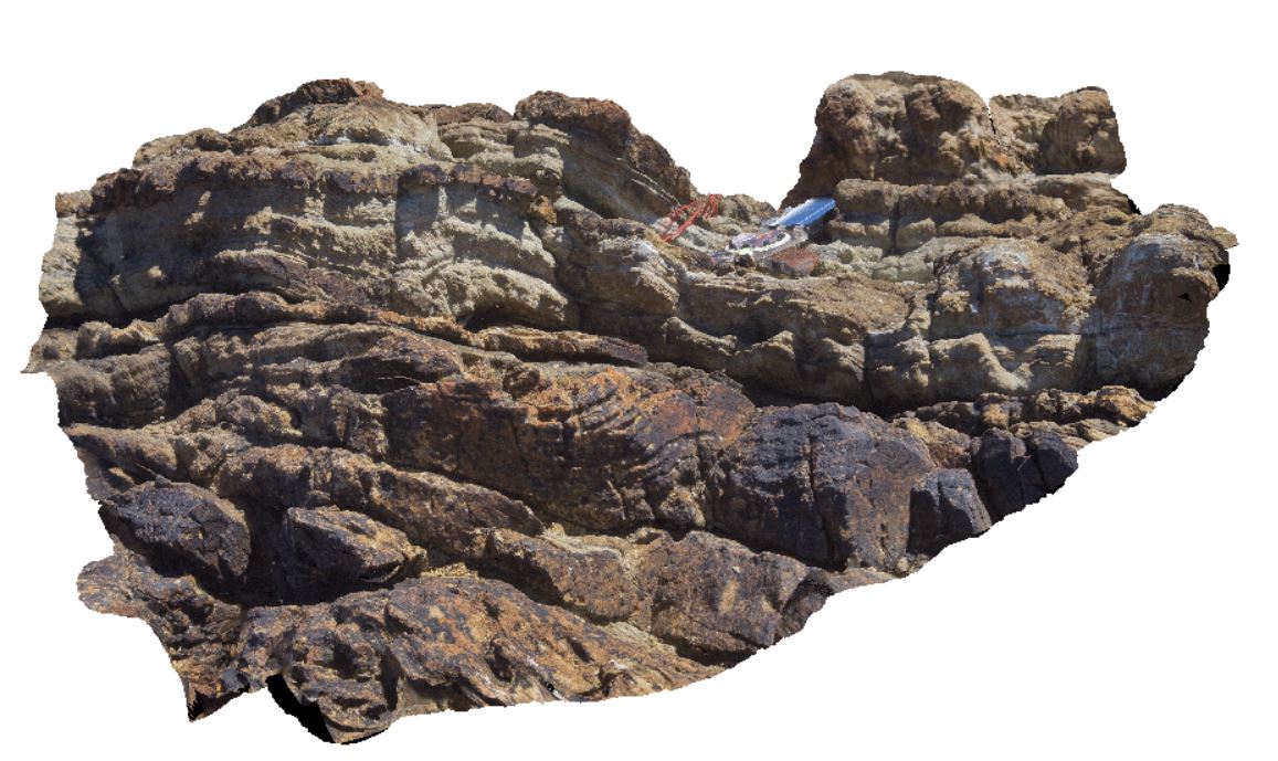
3D terrestrial photogrammetric model |
small asymmetric folds and cross beds in Eldon Group rocks on fold limb. Duck Creek, west coast, Tasmania. |
0.80 |
-41.76812000000 |
145.00432000000 |
-9999.000 |
asymmetric fold, fold, structure, fold limb |
sandstone |
WTasUAV4 Map
 |
5 |
01/01/9999 midnight |
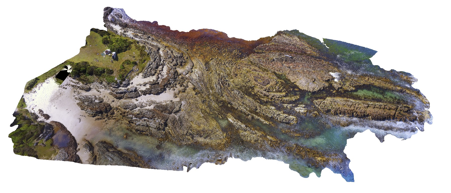
3D UAV photogrammetric model |
aerial view of folds in sandstone and siltstone Silurian aged rocks. Duck Creek, west coast, Tasmania. |
100.00 |
-41.76811000000 |
145.00443100000 |
-9999.000 |
fold, structure |
sandstone |
WTasFSP31a Map
 |
5 |
01/01/9999 midnight |
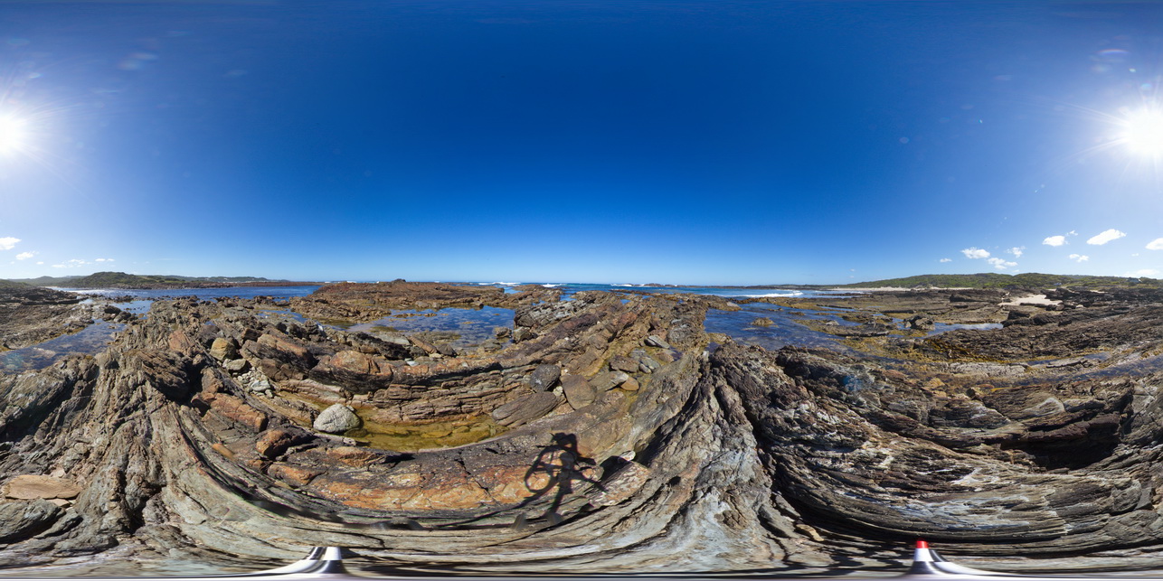
Full Spherical Panorama |
view of shallow basin in shallowly dipping, fine-grained, quartz sandstone and siltstone. Duck Creek, West Tasmania. |
1000.00 |
-41.76810000000 |
145.00371000000 |
-9999.000 |
basin, dip, sedimentology, structure |
sandstone |
WTas15 Map
 |
5 |
01/01/9999 midnight |
3D terrestrial photogrammetric model |
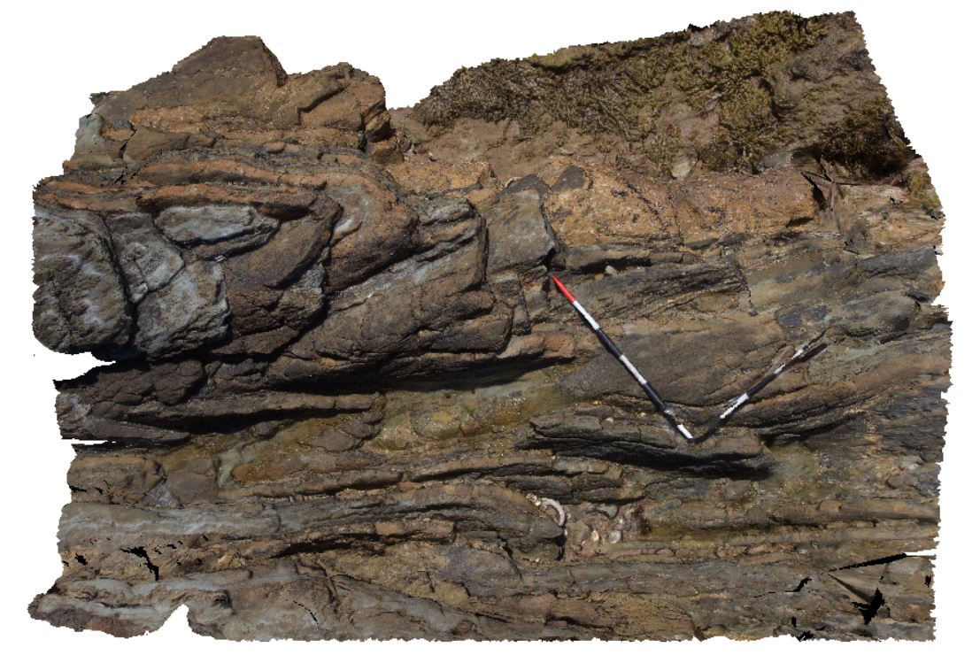
slightly asymmetric folds in finely bedded sandstones and siltstones. Duck Creek, west coast, Tasmania. |
2.50 |
-41.76809000000 |
145.00375000000 |
-9999.000 |
fold, asymmetric fold, structure |
sandstone |
WTas17 Map
 |
5 |
01/01/9999 midnight |
3D terrestrial photogrammetric model |
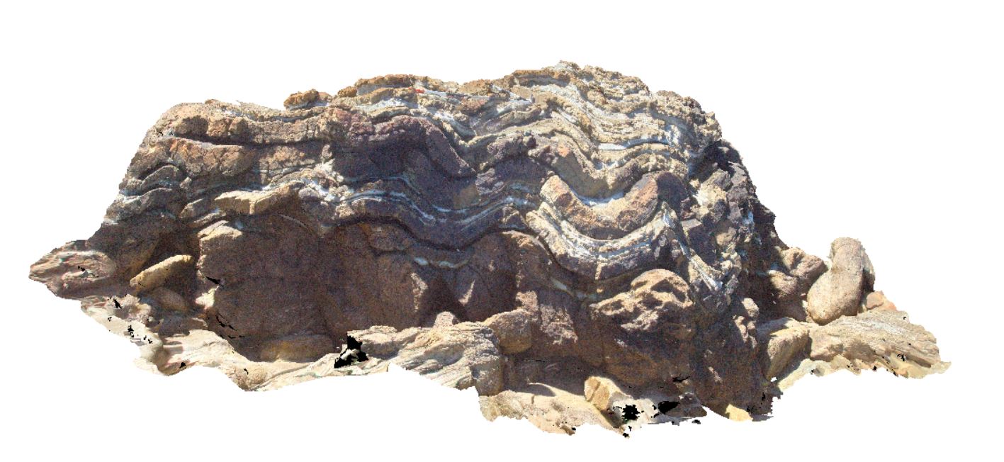
symmetric folds in fold axis. Eldon Group rocks. Duck Creek, west coast, Tasmania. |
3.00 |
-41.76806000000 |
145.00407000000 |
-9999.000 |
symmetric fold, fold, structure, fold axis |
sandstone |
WTasFSP32 Map
 |
5 |
01/01/9999 midnight |
Full Spherical Panorama |
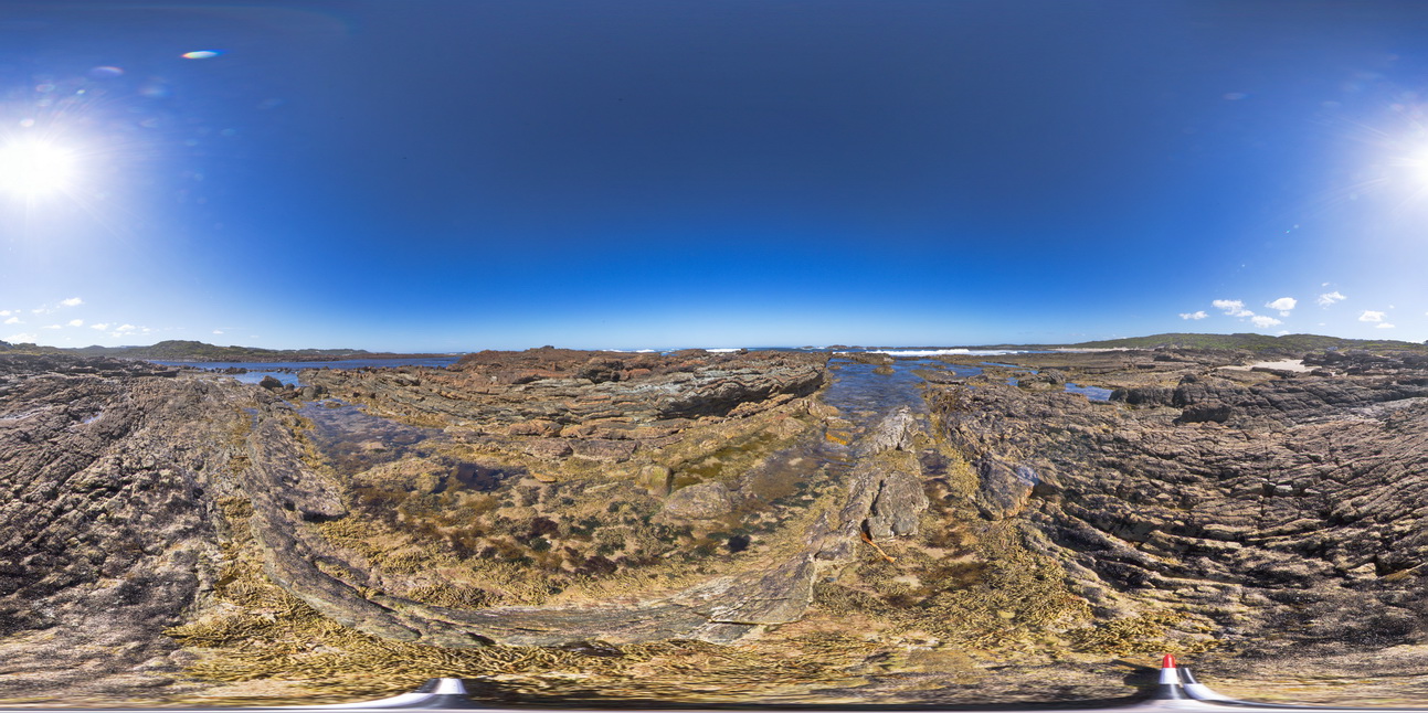
view of shallow to moderately dipping, thinly bedded sandstones and siltstones. Duck Creek, west coast, Tasmania. |
1000.00 |
-41.76805000000 |
145.00377000000 |
-9999.000 |
dip, bedding, structure |
sandstone |
WTasFSP35 Map
 |
5 |
01/01/9999 midnight |
Full Spherical Panorama |
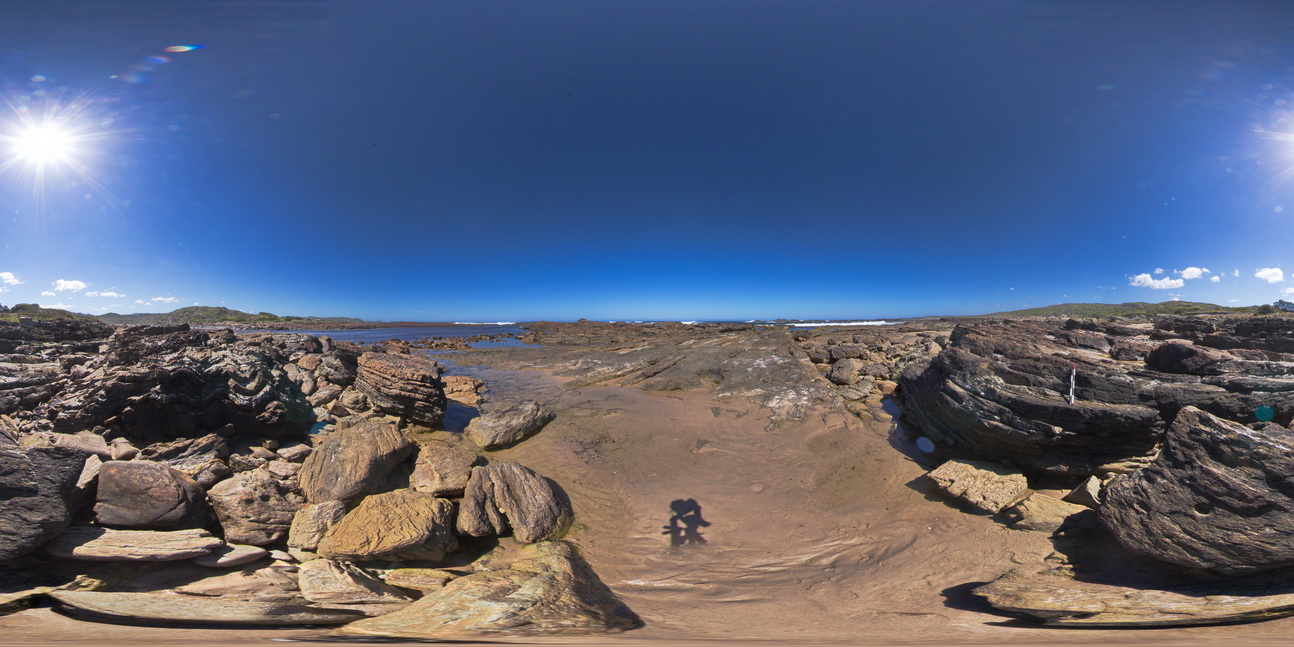
view of shallow to moderately dipping, bedded sandstones and siltstones. Duck Creek, west coast, Tasmania. |
1000.00 |
-41.76805000000 |
145.00401000000 |
-9999.000 |
bedding, dip, sedimentology, structure |
sandstone |
WTasFSP34 Map
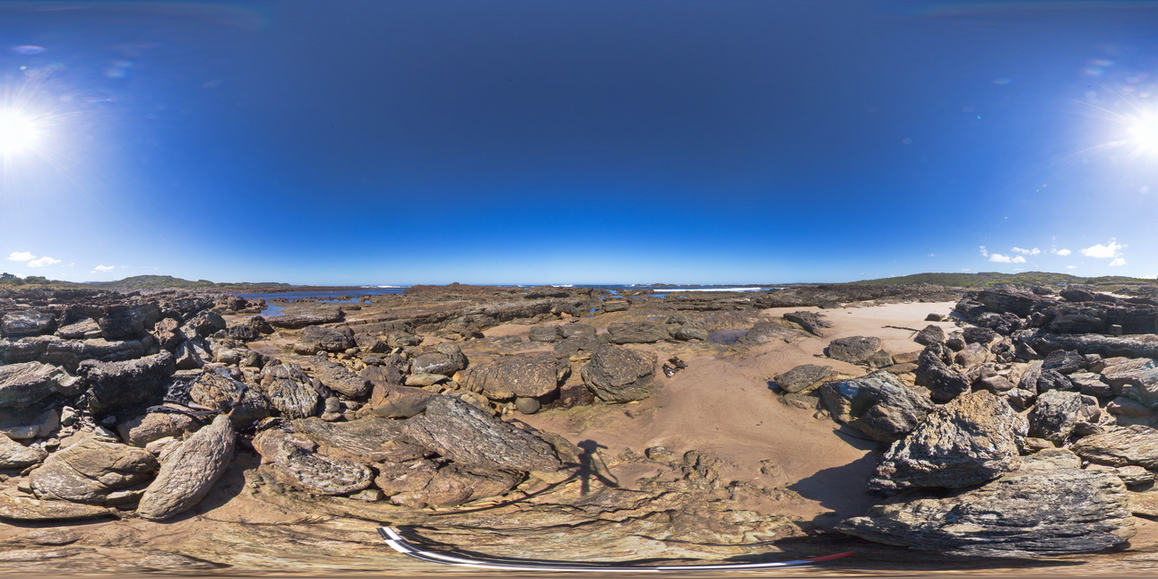 |
5 |
01/01/9999 midnight |
Full Spherical Panorama |
view of shallow to moderately dipping, bedded sandstones and siltstones. Duck Creek, west coast, Tasmania. |
1000.00 |
-41.76799000000 |
145.00394000000 |
-9999.000 |
bedding, dip, structure, sedimentology |
sandstone |
WTas18 Map
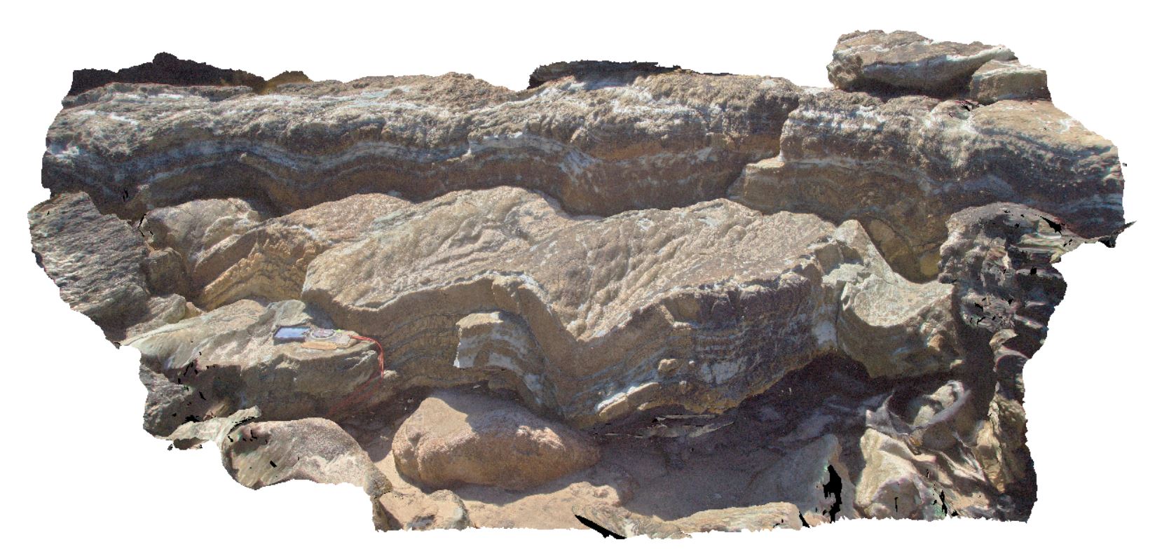 |
5 |
01/01/9999 midnight |
3D terrestrial photogrammetric model |
open, symmetric folds with irregular spaced transecting cleavage. Duck Creek, west coast, Tasmania. |
1.80 |
-41.76797000000 |
145.00395000000 |
-9999.000 |
symmetric fold, fold, structure, cleavage, spaced cleavage |
sandstone |
WTas19 Map
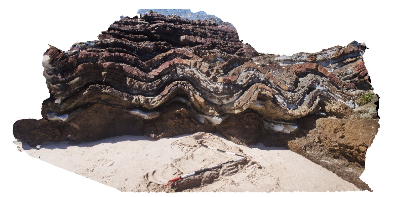 |
5 |
01/01/9999 midnight |
3D terrestrial photogrammetric model |
slightly asymmetric folds in thinly bedded sandstones and siltstones. Duck Creek, west coast, Tasmania. |
3.20 |
-41.76785000000 |
145.00401000000 |
-9999.000 |
fold, asymmetric fold, structure, bedding |
sandstone |
WTasFSP36 Map
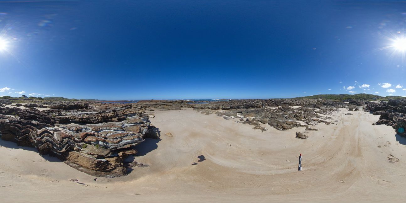 |
5 |
01/01/9999 midnight |
Full Spherical Panorama |
'M' folding in thinly bedded sediments. Duck Creek, west coast, Tasmania. |
1000.00 |
-41.76784000000 |
145.00398000000 |
-9999.000 |
M folding, fold, structure |
sandstone |
WTasFSP38 Map
 |
5 |
01/01/9999 midnight |
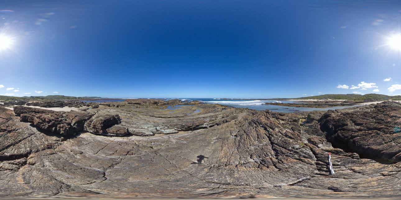
Full Spherical Panorama |
shallowly dipping, thinly bedded sandstones and siltstones. Duck Creek, west coast, Tasmania. |
1000.00 |
-41.76782000000 |
145.00378000000 |
-9999.000 |
dip, structure, sedimentology |
sandstone |
WTas20 Map
 |
5 |
01/01/9999 midnight |
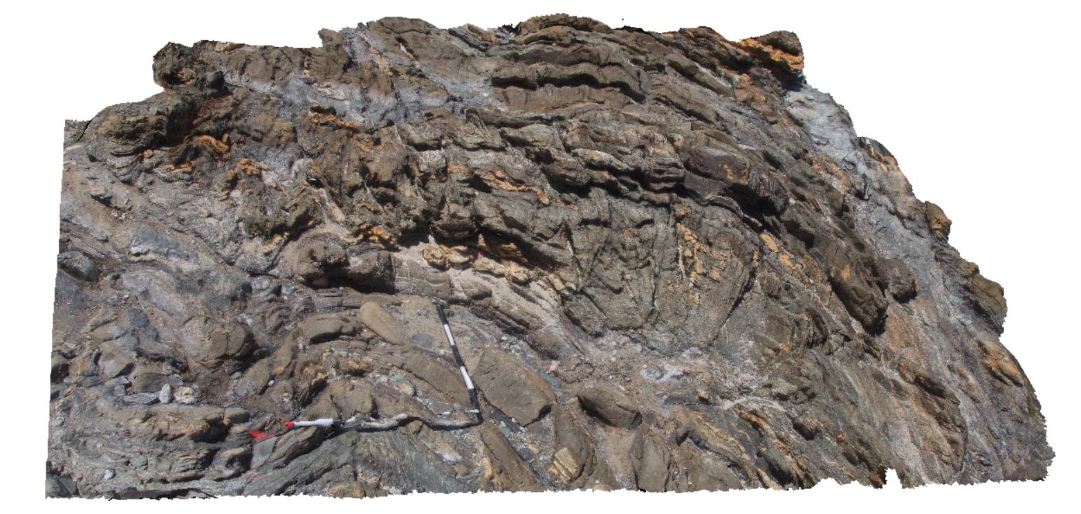
3D terrestrial photogrammetric model |
open folds with spaced cleavage? In thinly bedded, cross-bedded sandstone of the Eldon Group. Duck Creek, west coast, Tasmania. |
3.20 |
-41.76774000000 |
145.00415000000 |
-9999.000 |
open fold, fold, structure, cross bedding |
sandstone |
WTasFSP37 Map
 |
5 |
01/01/9999 midnight |
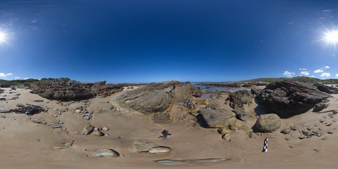
Full Spherical Panorama |
'M' folding in thinly bedded sediments. Duck Creek, west coast, Tasmania. |
1000.00 |
-41.76770000000 |
145.00414000000 |
-9999.000 |
fold, structure, M fold |
sandstone |
WTasFSP44 Map
 |
5 |
01/01/9999 midnight |
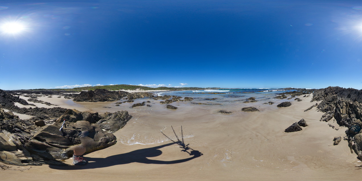
Full Spherical Panorama |
moderately dipping bedded sandstones of the Eldon Group. North of Duck Creek, west coast, Tasmania. |
1000.00 |
-41.76666000000 |
145.00233000000 |
-9999.000 |
dip, structure |
sandstone |
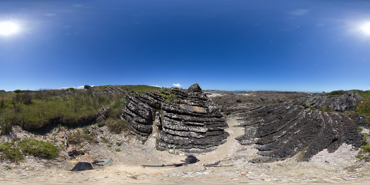
WTasFSP43 Map
 |
5 |
01/01/9999 midnight |
Full Spherical Panorama |
shallow to moderately dipping bedded sandstones of the Eldon Group. North of Duck Creek, west coast, Tasmania. |
250.00 |
-41.76608000000 |
145.00227000000 |
-9999.000 |
dip, bedding, structure |
sandstone |
 AusGeol.org