WTas23 Map
 |
5 |
01/01/9999 midnight |
3D terrestrial photogrammetric model |
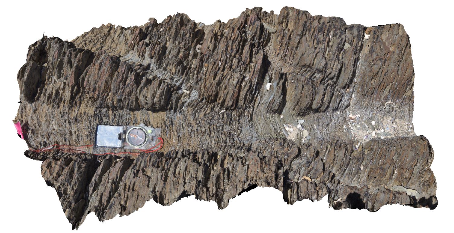
steeply dipping, sandy shales, with spaced cleavage, cross-cut by kink bands / crenulated cleavage. North of Duck Creek, west coast, Tasmania. |
1.00 |
-41.76581000000 |
145.00122000000 |
-9999.000 |
crenulated cleavage, kink band, cleavage, structure, shale, Bell Shale |
shale |
WTas24 Map
 |
5 |
01/01/9999 midnight |
3D terrestrial photogrammetric model |
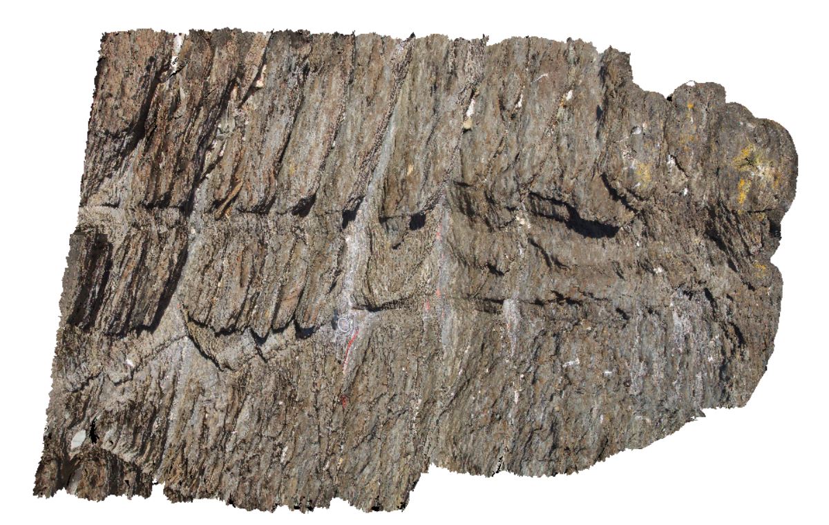
steeply dipping, sandy shales, with spaced cleavage, cross-cut by kink bands / crenulated cleavage. North of Duck Creek, west coast, Tasmania. |
1.40 |
-41.76581000000 |
145.00122000000 |
-9999.000 |
spaced cleavage, crenulated cleavage, kink band, cleavage, structure, dip |
shale |
WTas25 Map
 |
5 |
01/01/9999 midnight |
3D terrestrial photogrammetric model |
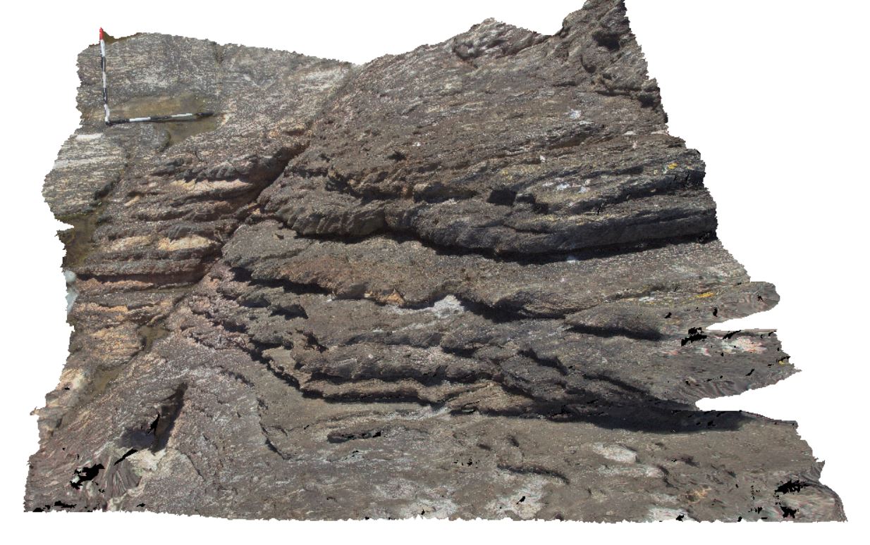
moderately to steeply dipping, sandy shale, with spaced cleavage, cross-cut by kink bands / crenulated cleavage. North of Duck Creek, west coast, Tasmania. |
2.60 |
-41.76577000000 |
145.00139000000 |
-9999.000 |
dip, cleavage, kink band, crenulated cleavage, structure |
shale |
WTasFSP42 Map
 |
5 |
01/01/9999 midnight |
Full Spherical Panorama |
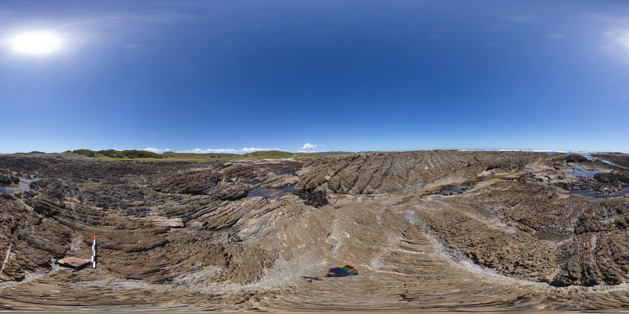
moderately to steeply dipping, sandy to calcareous shale, with spaced cleavage, cross-cut by kink bands / crenulated cleavage. North of Duck Creek, west coast, Tasmania. |
1000.00 |
-41.76572000000 |
145.00134000000 |
-9999.000 |
dip, cleavage, spaced cleavage, kink band, crenulated cleavage, structure |
shale |
WTas26 Map
 |
5 |
01/01/9999 midnight |
3D terrestrial photogrammetric model |
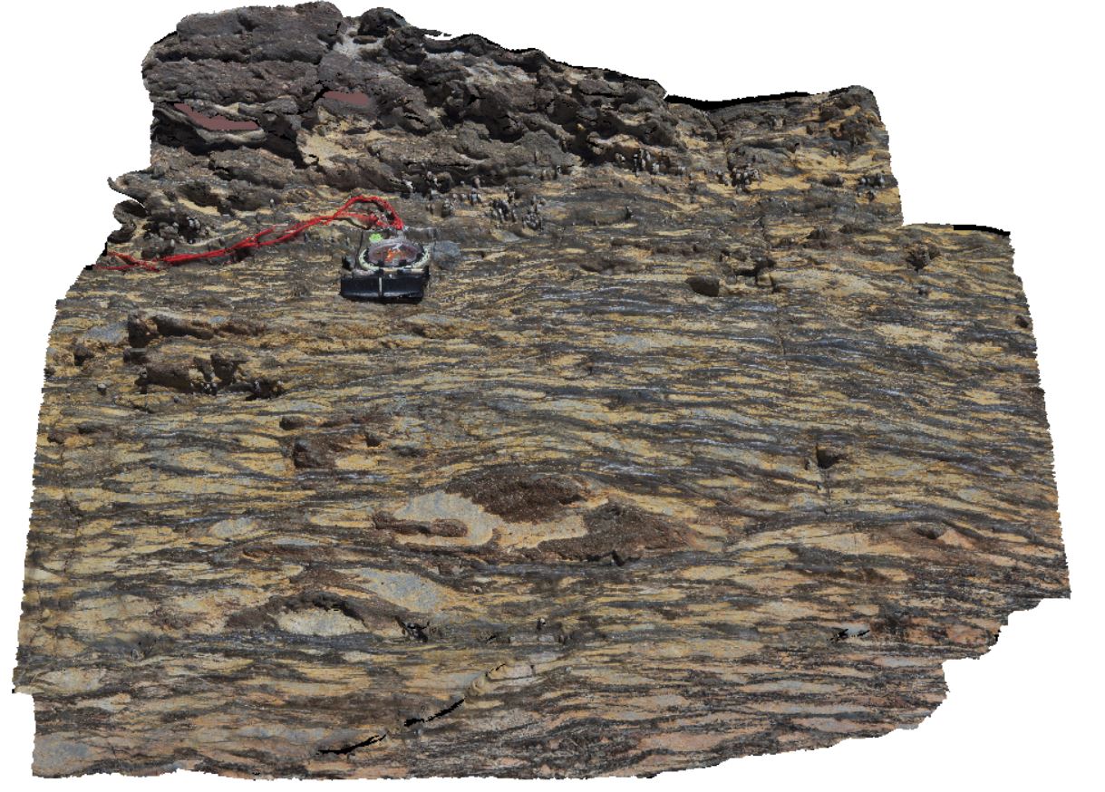
bedding layering in shale, intensely disrupted by anastomosing cleavage. North of Duck Creek, west coast, Tasmania. |
0.65 |
-41.76564000000 |
145.00153000000 |
-9999.000 |
anastomosing cleavage, cleavage, structure |
shale |
WTasFSP41 Map
 |
5 |
01/01/9999 midnight |
Full Spherical Panorama |
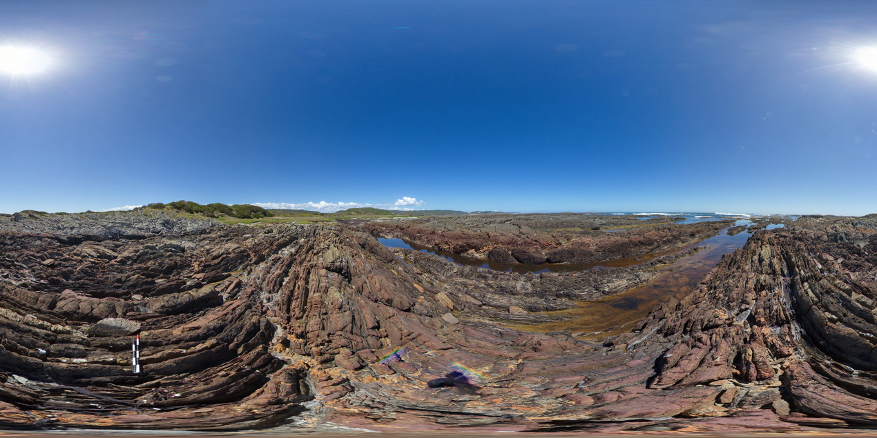
folded, thinly bedded sandstone beds of the Oonah Formation with faulted contact against the Eldon Group in the background. North of Duck Creek, west coast, Tasmania. |
500.00 |
-41.76550000000 |
145.00102000000 |
-9999.000 |
fold, dip, faulted contact, structure |
sandstone, sandstone |
WTasFSP40 Map
 |
5 |
01/01/9999 midnight |
Full Spherical Panorama |
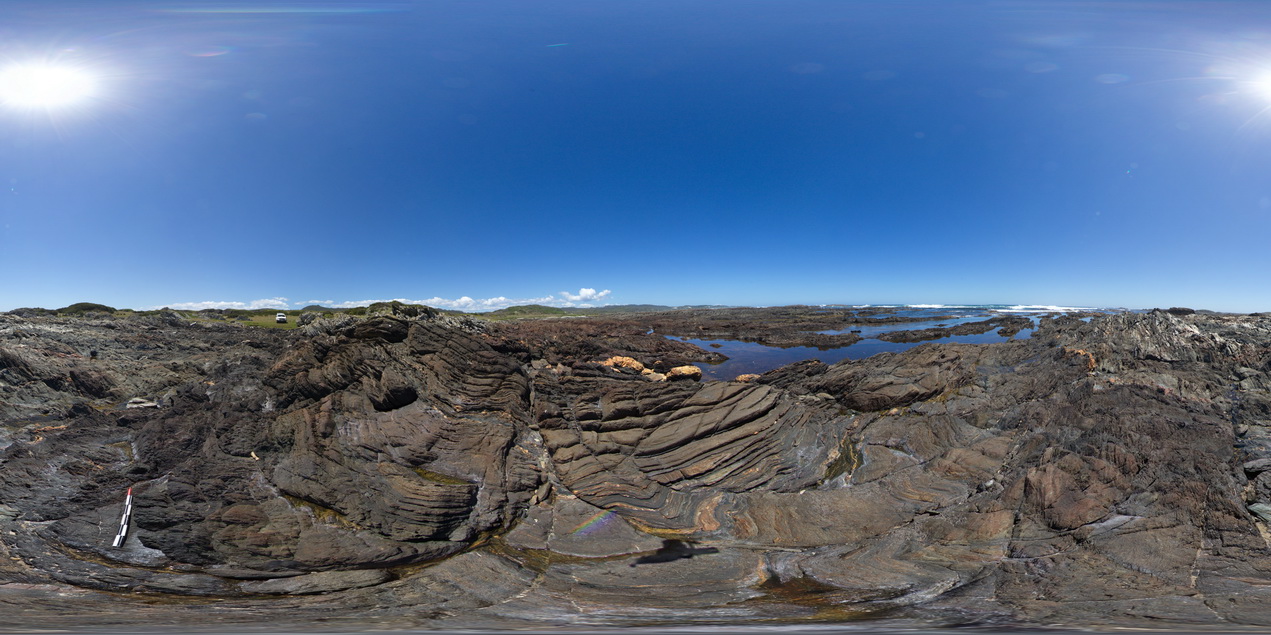
folded and faulted sedimentary rocks of the Oonah Formation. North of Duck Creek, west coast, Tasmania. |
500.00 |
-41.76544000000 |
145.00070000000 |
-9999.000 |
fault, fold, cleavage, structure |
sandstone |
WTas22 Map
 |
5 |
01/01/9999 midnight |
3D terrestrial photogrammetric model |
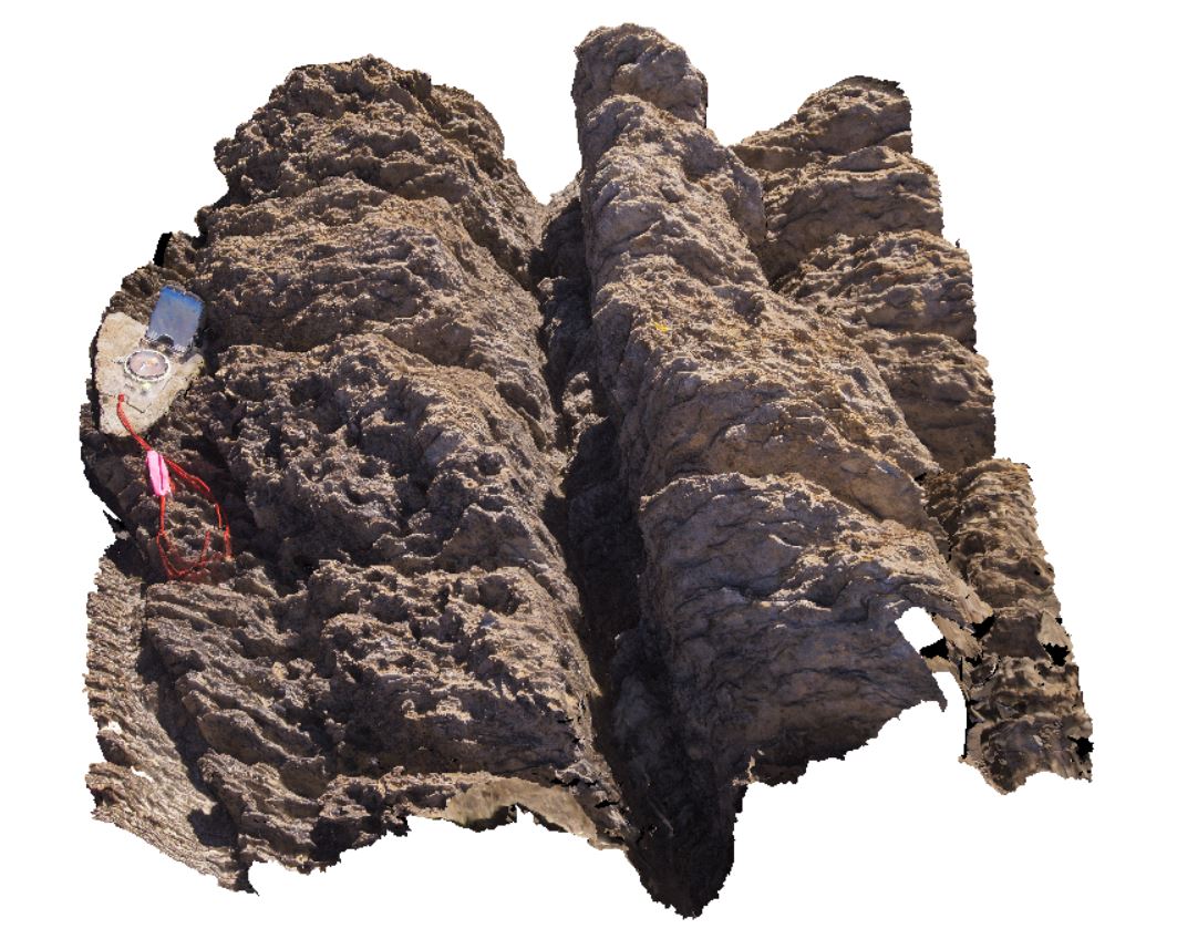
folded and faulted sedimentary rocks of the Oonah Formation. North of Duck Creek, west coast, Tasmania. |
0.00 |
-41.76543000000 |
145.00070000000 |
-9999.000 |
fold, cleavage, fault |
sandstone |
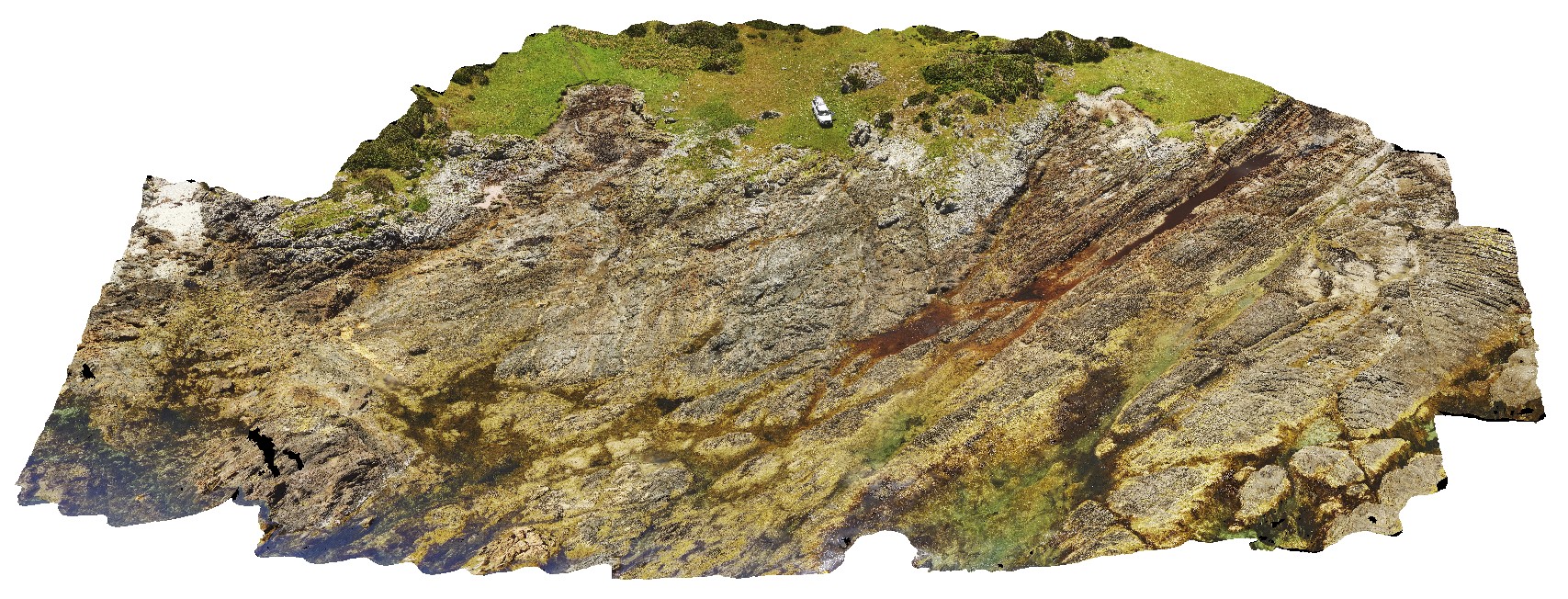
WTasUAV6 Map
 |
5 |
01/01/9999 midnight |
3D UAV photogrammetric model |
faulted contact between the Eldon Group and Oonah Formation, with strong cleavage associated with fault zone cutting bedding. North of Duck Creek, west coast, Tasmania. |
50.00 |
-41.76542300000 |
145.00094900000 |
-9999.000 |
fault, faulted contact, structure, Oonah Formation, Eldon Group, foliation, cleavage |
sandstone, sandstone |
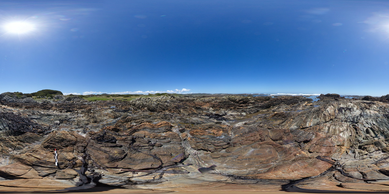
WTasFSP39 Map
 |
5 |
01/01/9999 midnight |
Full Spherical Panorama |
folded, finely layered, sandstones and siltstones? of the Oonah Formation. North of Duck Creek, west coast, Tasmania. |
500.00 |
-41.76513000000 |
145.00041000000 |
-9999.000 |
fold, structure, open fold, sedimentology |
sandstone |
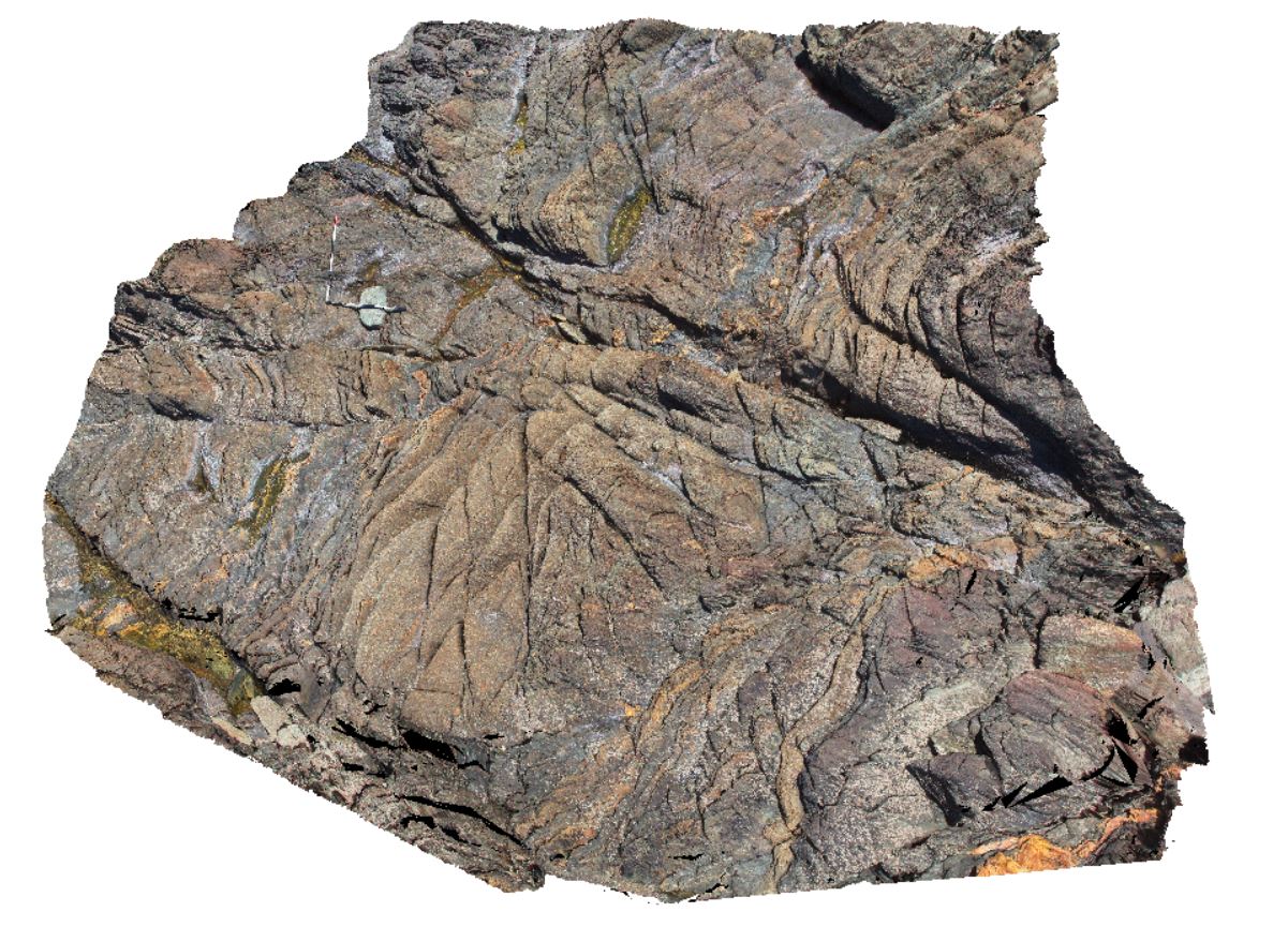
WTas21 Map
 |
5 |
01/01/9999 midnight |
3D terrestrial photogrammetric model |
folded beds with crenulated, phyllitic cleavage and disrupted quartz veins. North of Duck Creek, west coast, Tasmania. |
0.00 |
-41.76512000000 |
145.00049000000 |
-9999.000 |
fold, cleavage, phyllitic cleavage, structure, quartz veins |
metasediments |
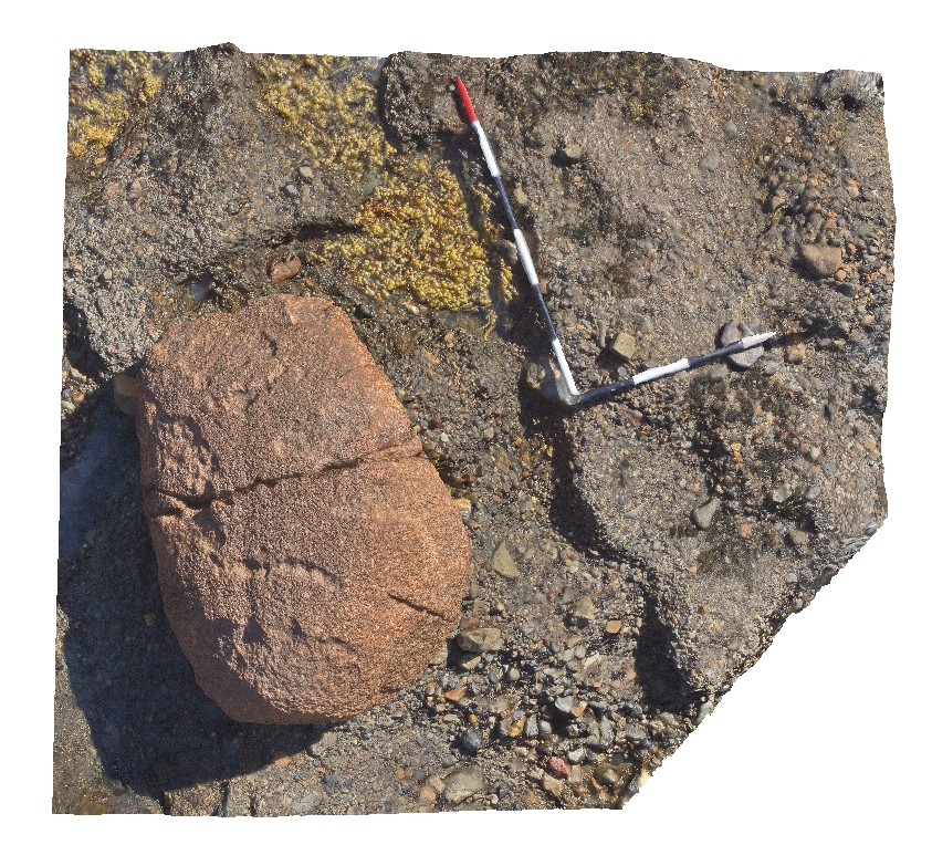
NTas1 Map
 |
5 |
01/01/9999 midnight |
3D terrestrial photogrammetric model |
rounded, large granite erratic in Wynyard Tillite. Wynyard, North Tasmania. |
1.20 |
-41.00700000000 |
145.78101000000 |
-9999.000 |
tillite, erratic |
tillite |
NTas3 Map
 |
5 |
01/01/9999 midnight |
3D terrestrial photogrammetric model |
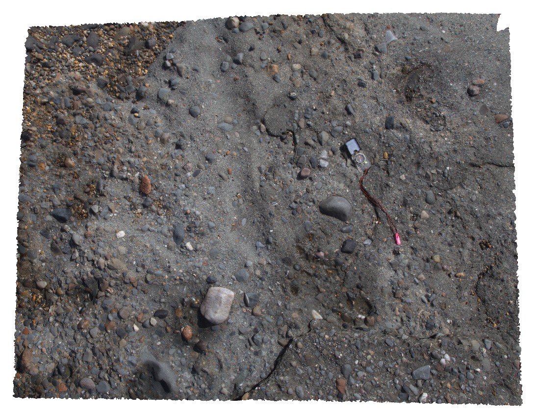
rounded, polymict, pebble to cobble sized erratics in Wynyard Tillite. Wynyard, North Tasmania. |
3.00 |
-41.00561000000 |
145.77980000000 |
-9999.000 |
tillite, erratic |
tillite |
NTas2 Map
 |
5 |
01/01/9999 midnight |
3D terrestrial photogrammetric model |
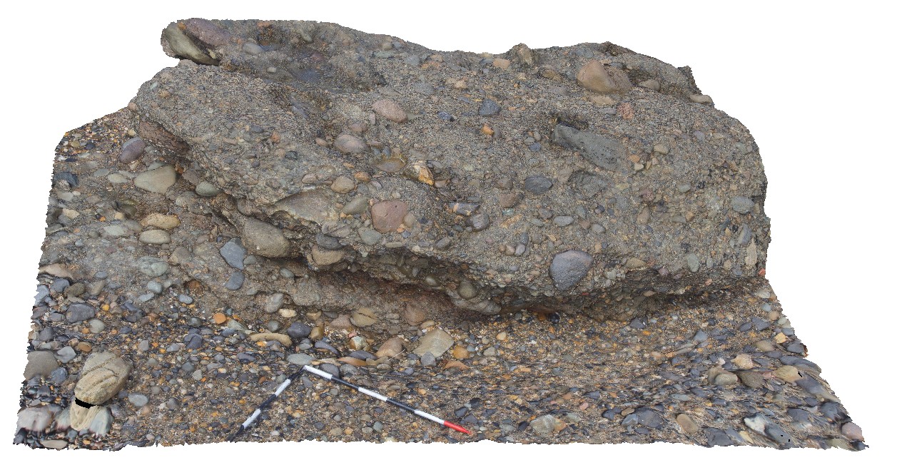
rounded, polymict, pebble to cobble sized erratics in Wynyard Tillite. Wynyard, North Tasmania. |
3.00 |
-41.00551000000 |
145.77982000000 |
-9999.000 |
tillite, erratic |
tillite |
NTasFSP1 Map
 |
5 |
01/01/9999 midnight |
Full Spherical Panorama |
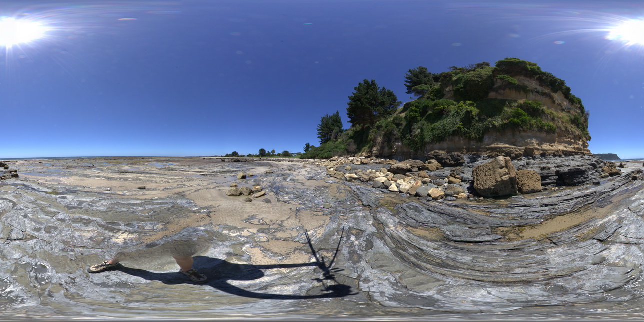
shore-cut platform on Wynyard Tillite, with Fossil Bluff cliff in background. Fossil Bluff Conservation Area, Wynyard. North Tasmania. |
200.00 |
-40.98151000000 |
145.73306000000 |
-9999.000 |
Wynyard Tillite, Fossil Bluff, tillite |
tillite |
NTasFSP2 Map
 |
5 |
01/01/9999 midnight |
Full Spherical Panorama |
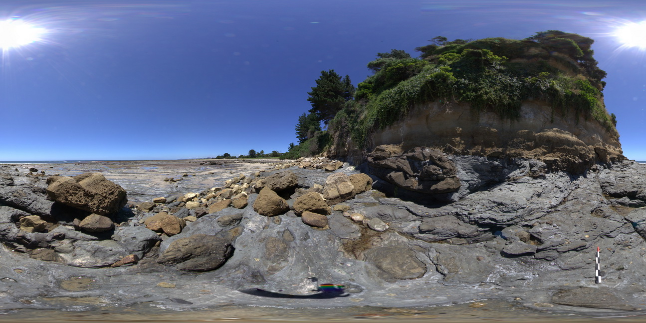
shore-cut platform on Wynyard Tillite, with unconformity with the Fossil Bluff Sandstone in background. Fossil Bluff Conservation Area, Wynyard. North Tasmania. |
500.00 |
-40.98151000000 |
145.73300000000 |
-9999.000 |
tillite, unconformity, Fossil Bluff Sandstone |
tillite, sandstone |
NTasUAV1 Map
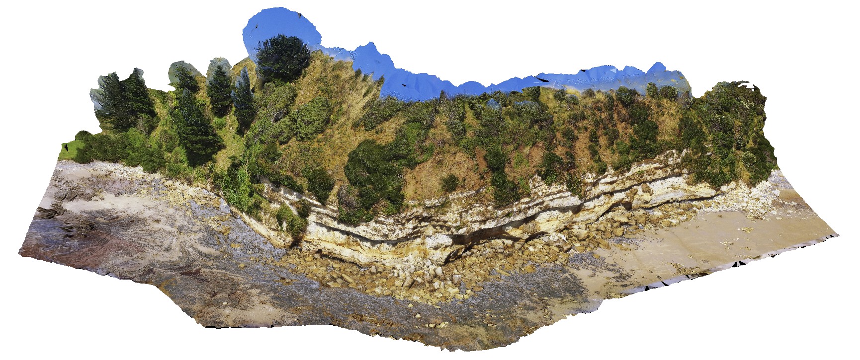 |
20 |
01/01/9999 midnight |
3D UAV photogrammetric model |
flat-lying sandstone beds of the Fossil Bluff Sandstone. Fossil Bluff Conservation Area, Wynyard. North Tasmania. |
200.00 |
-40.98145800000 |
145.73336400000 |
-9999.000 |
sandstone, bedding |
sandstone |
NTasUAVFSP1 Map
 |
20 |
01/01/9999 midnight |
3D UAV photogrammetric model |
flat-lying sandstone beds of the Fossil Bluff Sandstone. Fossil Bluff Conservation Area, Wynyard. North Tasmania. |
0.00 |
-40.98145800000 |
145.73336400000 |
-9999.000 |
sandstone, Fossil Bluff |
sandstone |
NTasUAV2 Map
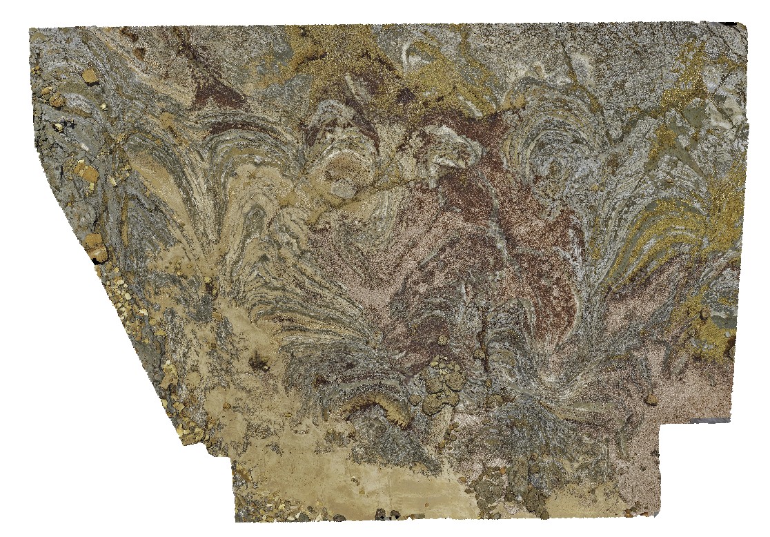 |
20 |
01/01/9999 midnight |
3D UAV photogrammetric model |
Permian wave-cut platform east of Fossil Cliff, showing bedforms in Permian Layers. Fossil Bluff Conservation Area, Wynyard. North Tasmania. |
100.00 |
-40.98142000000 |
145.73314000000 |
-9999.000 |
wave-cut platform, Permian bedding |
sandstone |
NTasUAV3 Map
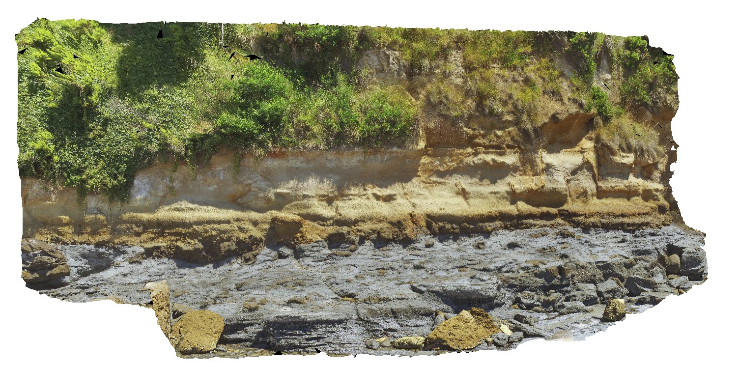 |
20 |
01/01/9999 midnight |
3D UAV photogrammetric model |
aerial view of the unconformity at the base of Fossil Bluff, between the Permian and Tertiary units. Fossil Bluff Conservation Area, Wynyard. North Tasmania. |
50.00 |
-40.98138400000 |
145.73309700000 |
-9999.000 |
unconformity, geological contact, Fossil bluff |
sandstone, tillite |
NTasFSP3 Map
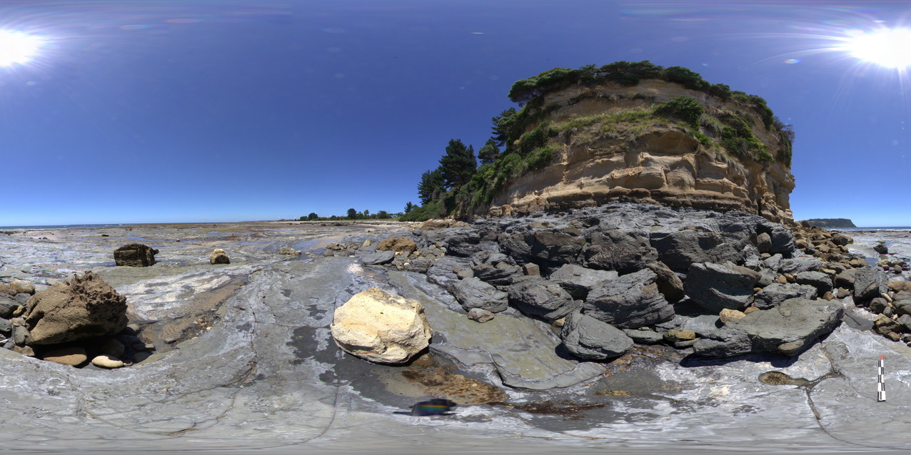 |
5 |
01/01/9999 midnight |
Full Spherical Panorama |
shore-cut platform on Wynyard Tillite, with unconformity with the Fossil Bluff Sandstone in background. Fossil Bluff Conservation Area, Wynyard. North Tasmania. |
500.00 |
-40.98135000000 |
145.73312000000 |
-9999.000 |
tillite, unconformity, Fossil Bluff Sandstone |
Tillite, sandstone |
NTas8 Map
 |
5 |
01/01/9999 midnight |
3D terrestrial photogrammetric model |
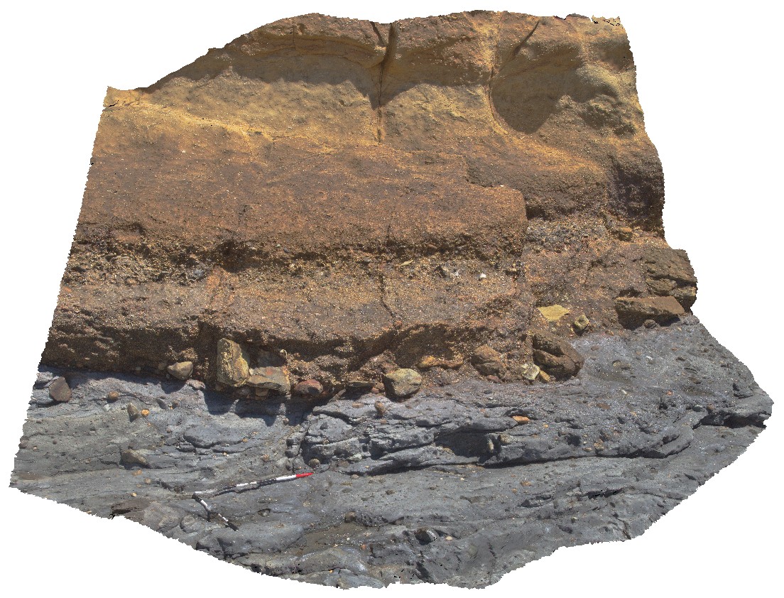
unconformity between Permian tillite and Tertiary Diamictite. Fossil Bluff Conservation Area, Wynyard. North Tasmania. |
3.20 |
-40.98133000000 |
145.73302000000 |
-9999.000 |
unconformity, geological contact, tillite, diamictite |
diamictite, tillite |
NTas9 Map
 |
5 |
01/01/9999 midnight |
3D terrestrial photogrammetric model |
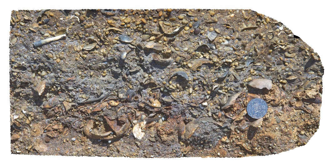
detailed view of fossils from the Fossil Bluff Sandstone. Fossil Bluff Conservation Area, Wynyard. North Tasmania. |
0.50 |
-40.98133000000 |
145.73302000000 |
-9999.000 |
Fossil Bluff Sandstone, fossil, palaeontology, sedimentology |
sandstone |
NTas10 Map
 |
5 |
01/01/9999 midnight |
3D terrestrial photogrammetric model |
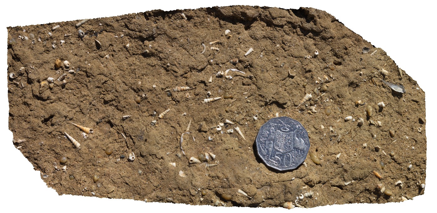
detailed view of fossils from the Fossil Bluff Sandstone. Fossil Bluff Conservation Area, Wynyard. North Tasmania. |
0.30 |
-40.98133000000 |
145.73302000000 |
-9999.000 |
gastropod, palaeontology, fossil, fossiliferous, Fossil Bluff Sandstone |
sandstone |
NTasFSP4 Map
 |
5 |
01/01/9999 midnight |
Full Spherical Panorama |
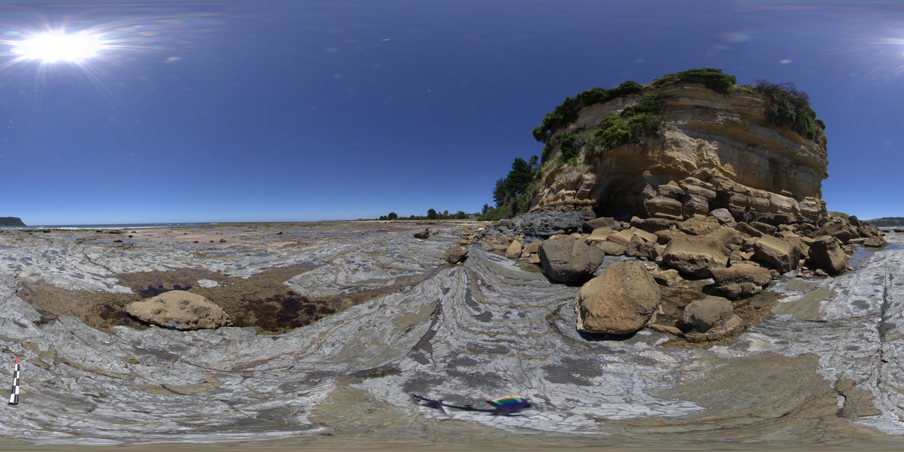
shore-cut platform in Wynyard Tillite with unconformity with the Fossil Bluff Sandstone at the base of the cliff. Fossil Bluff Conservation Area, Wynyard. North Tasmania. |
500.00 |
-40.98121000000 |
145.73308000000 |
-9999.000 |
Fossil Bluff Sandstone, unconformity |
tillite, sandstone |
 AusGeol.org