WeetootlaFSP6 Map
 |
0 |
09/27/2015 4:38 p.m. |
Full Spherical Panorama |
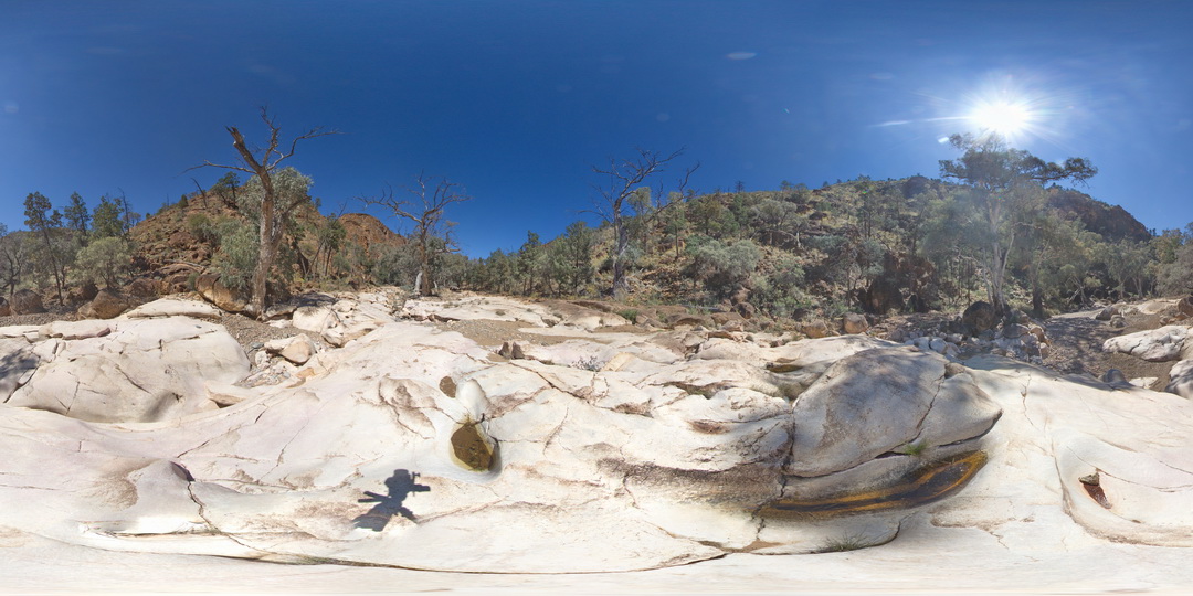
outcrop of massive homogeneous carbonate. Weetootla gorge. |
0.00 |
-30.47952000000 |
139.22774000000 |
-9999.000 |
sedimentology |
carbonate |
WeetootlaFSP5 Map
 |
0 |
09/27/2015 4:38 p.m. |
Full Spherical Panorama |
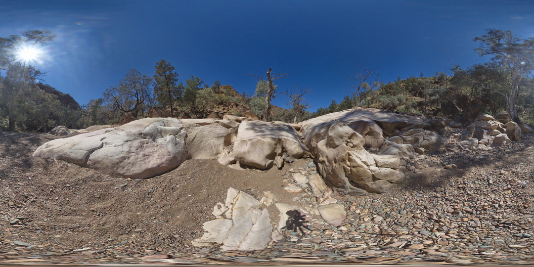
outcrop of massive carbonate. Weetootla gorge. |
0.00 |
-30.47945000000 |
139.22777000000 |
-9999.000 |
sedimentology |
carbonate |
WeetootlaFSP4 Map
 |
0 |
09/27/2015 4:38 p.m. |
Full Spherical Panorama |
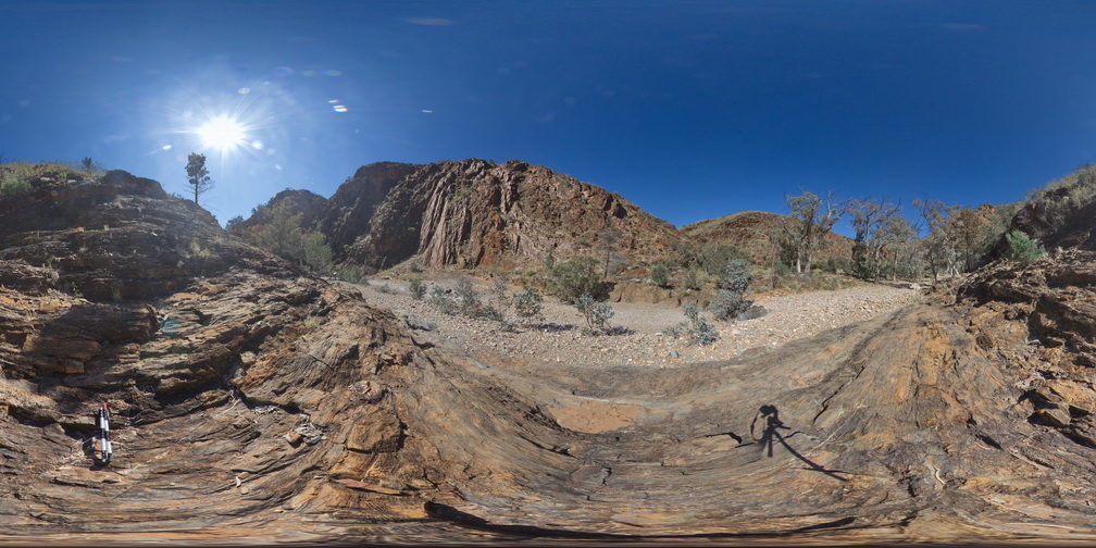
view of steeply dipping stratigraphy, Weetootla Gorge. |
0.00 |
-30.48114000000 |
139.22690000000 |
-9999.000 |
structure |
mudstone |
WeetootlaFSP3 Map
 |
0 |
09/27/2015 4:38 p.m. |
Full Spherical Panorama |
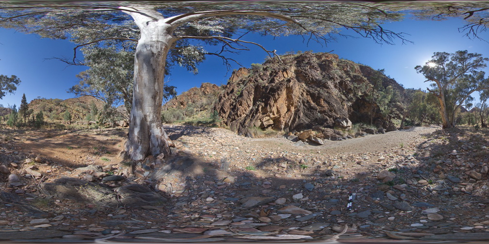
folded carbonate mudstone hills of the Balcanoona Formation, Weetootla gorge |
0.00 |
-30.48111000000 |
139.22438000000 |
-9999.000 |
folded, structure |
carbonate |
WeetootlaFSP2 Map
 |
0 |
09/27/2015 4:38 p.m. |
Full Spherical Panorama |
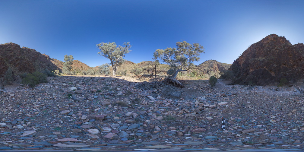
view of moderately to steeply dipping, bedded and folded carbonate mudstone hills. Weetootla Gorge. |
0.00 |
-30.48287000000 |
139.22424000000 |
-9999.000 |
folded, structure |
carbonate |
WeetootlaFSP1 Map
 |
0 |
09/27/2015 4:37 p.m. |
Full Spherical Panorama |
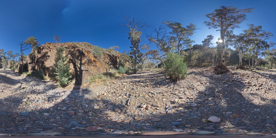
view of bedded and folded carbonate muds. Balcanoona Creek. Weetootla. |
0.00 |
-30.48160000000 |
139.22220000000 |
-9999.000 |
fold, structure |
carbonate |
LordHowe10 Map
 |
20 |
03/16/2015 2:50 p.m. |
3D terrestrial photogrammetric model |
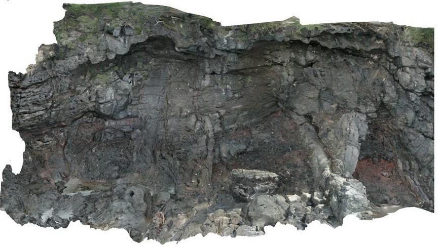
basalts intruded by dykes. Lord Howe Island. |
0.00 |
-31.52197862000 |
159.05226474000 |
0.000 |
dyke, intrusion |
basalt |
LordHowe13 Map
 |
20 |
03/16/2015 2:51 p.m. |
3D terrestrial photogrammetric model |
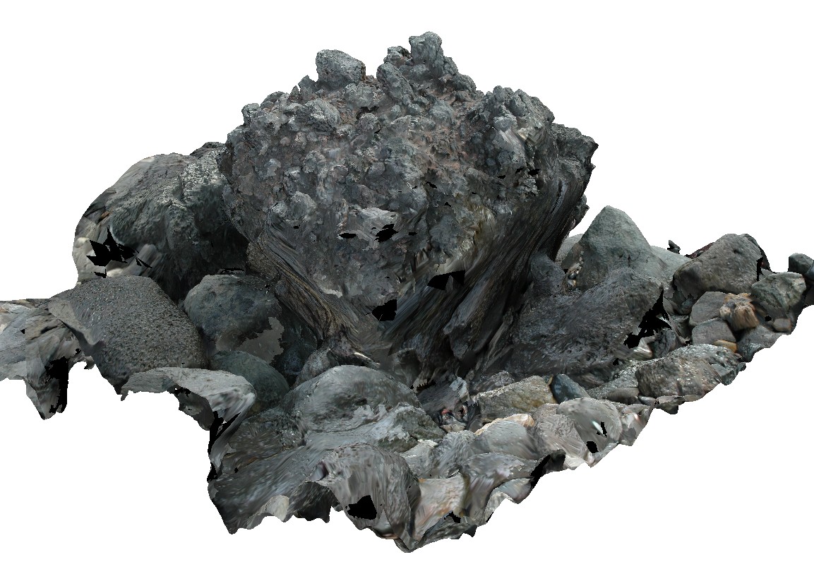
welded scoria. Lord Howe Island. |
0.00 |
-31.51990632000 |
159.05360757000 |
0.000 |
|
basalt |
Weetootla19 Map
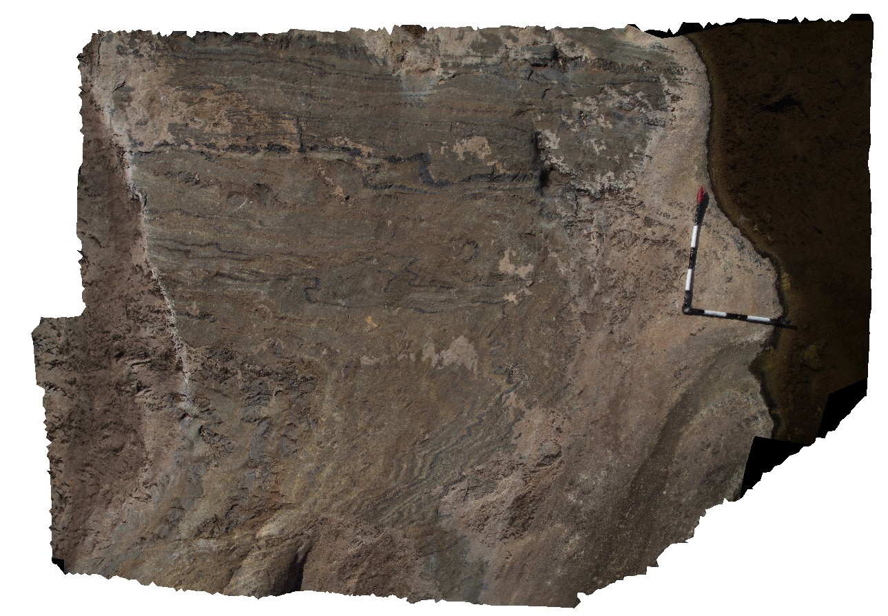 |
0 |
09/27/2015 4:23 p.m. |
3D terrestrial photogrammetric model |
finely bedded mudstone and carbonate exhibiting parasitic folding. Fold vergence relationships around a large fold hinge. Weetootla Creek. |
0.00 |
-30.47623000000 |
139.24344000000 |
-9999.000 |
parasitic fold, structure |
carbonate |
Weetootla13 Map
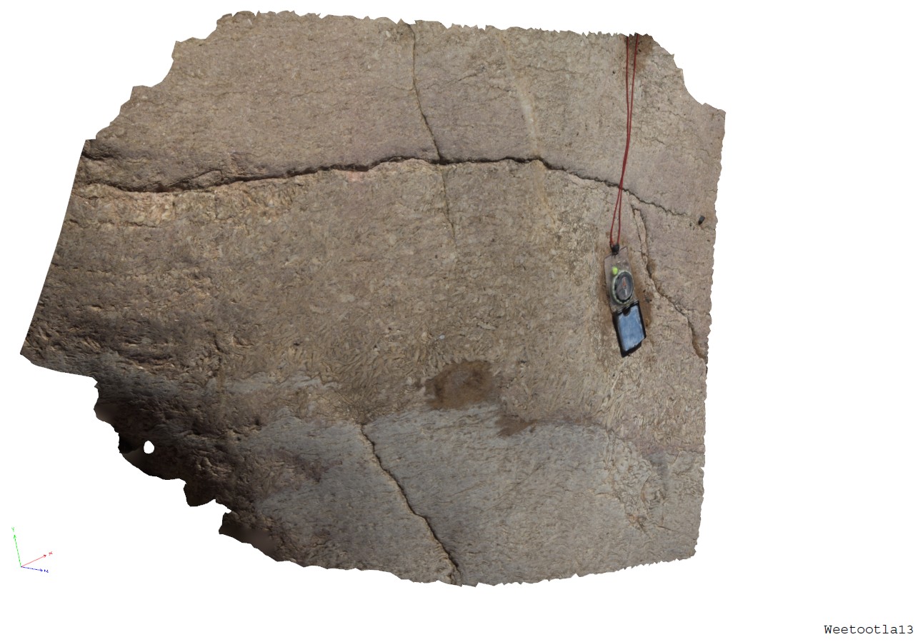 |
0 |
09/27/2015 4:18 p.m. |
3D terrestrial photogrammetric model |
band of coarsly crystalline bladed magnesite. Weetootla Gorge. |
0.00 |
-30.47941000000 |
139.22784000000 |
-9999.000 |
bladed carbonate |
marble |
Weetootla8 Map
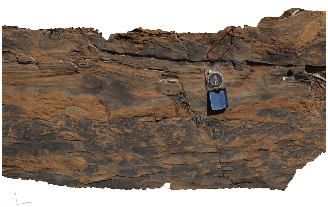 |
0 |
09/27/2015 4:34 p.m. |
3D terrestrial photogrammetric model |
detail of carbonate breccia within bedding. Weetootla gorge. |
0.00 |
-30.48112000000 |
139.22684000000 |
-9999.000 |
breccia, sedimentology |
carbonate |
Weetootla1 Map
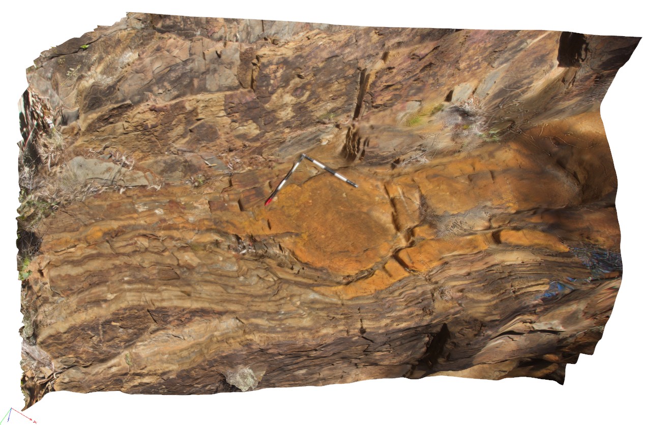 |
0 |
09/27/2015 4:15 p.m. |
3D terrestrial photogrammetric model |
bedded carbonate / dolomite and mudstone of the Balcanoona Formation. Layered units are gently folded around large LS clasts with discordant bedding. Balcanoona Creek. Weetootla. |
0.00 |
-30.48160000000 |
139.22211000000 |
-9999.000 |
discordant bedding |
carbonate |
CapeWickham8 Map
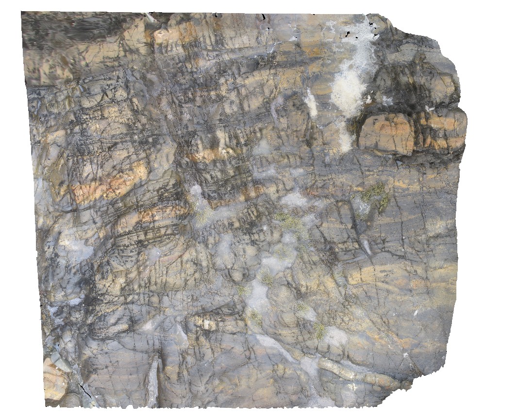 |
5 |
04/22/2016 12:22 p.m. |
3D terrestrial photogrammetric model |
view of bedded, quartzite dominant metasediments. Cape Wickham, King Island. Tasmania. |
0.00 |
-39.59224515000 |
143.92791342000 |
0.500 |
metasediments |
|
Olary71 Map
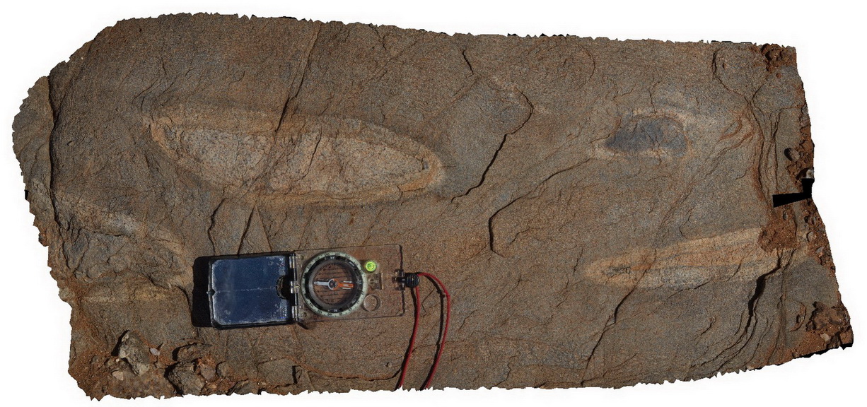 |
0 |
09/27/2015 6:39 p.m. |
3D terrestrial photogrammetric model |
detailed view of calc-silicate ellipsoids at site Olary70. Olary, S.A. |
0.00 |
-32.11449000000 |
140.30037000000 |
-9999.000 |
calc-silicate, fold, structure |
psammite |
OlaryUAV2 Map
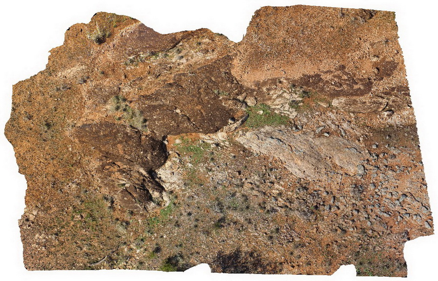 |
0 |
09/27/2015 6:50 p.m. |
3D UAV photogrammetric model |
aerial view of Old Boolcoomata Conglomerate Member, showing interbedded conglomerate with pebbly sandstone and siltstone. Old Boolcoomata Station. Olary. S.A. |
0.00 |
-32.09433000000 |
140.27747000000 |
-9999.000 |
conglomerate, sedimentology |
conglomerate |
CapeWickham9 Map
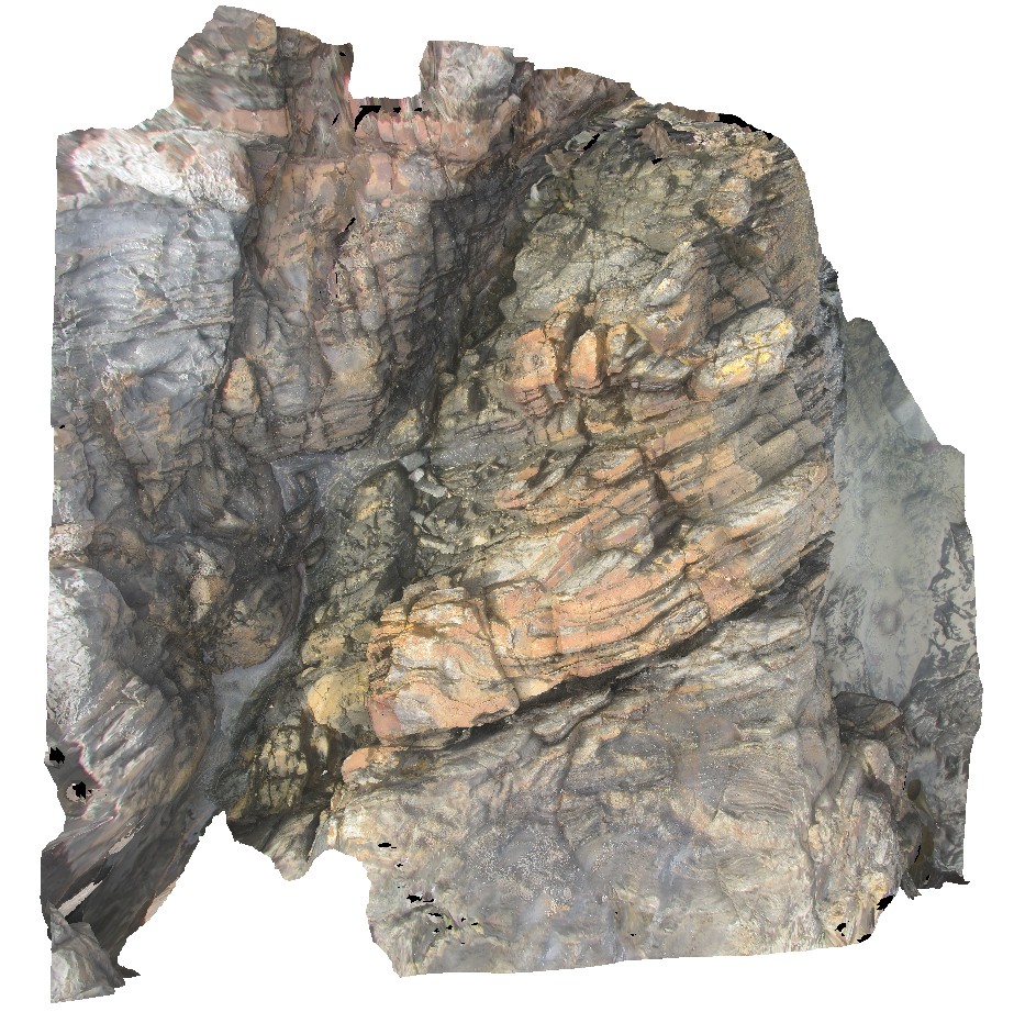 |
5 |
04/25/2015 11:52 a.m. |
3D terrestrial photogrammetric model |
steeply plunging fold hinge in quartzite and pelites. Cape Wickham, King Island. Tasmania. |
0.00 |
-39.59211212000 |
143.92782848000 |
2.000 |
fold hinge, fold, structure, metamorphic |
quartzite |
Bicheno7 Map
 |
0 |
03/13/2015 9:02 a.m. |
3D terrestrial photogrammetric model |
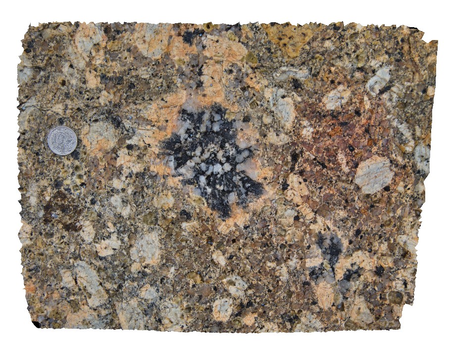
Biotite-tourmaline clots and associated k-feld alteration within porphyritic Bicheno Granite of the Boobyalla Suite. Tas. |
0.00 |
-41.86977728000 |
148.30369533000 |
-9999.000 |
igneous, porphyritic, granite, alteration |
Granite |
Boya5 Map
 |
0 |
03/13/2015 9:26 a.m. |
Panotour |
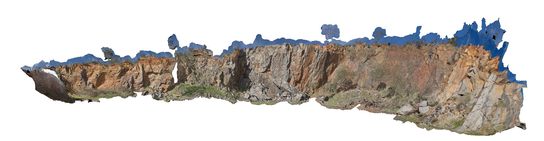
Boya quarry, Boya, Western Australia. |
0.00 |
-31.91484580000 |
116.06239402000 |
-9999.000 |
|
|
BoyaPole2 Map
 |
0 |
03/13/2015 9:27 a.m. |
3D terrestrial photogrammetric model |
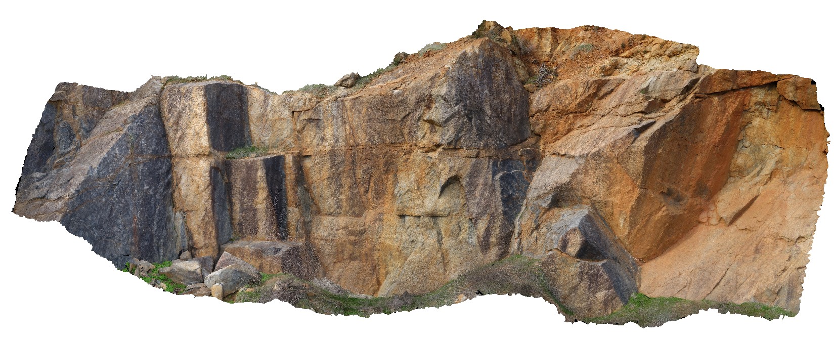
Boya quarry, Boya, Western Australia. |
0.00 |
-31.91484580000 |
116.06239402000 |
-9999.000 |
|
|
BoyaPole1 Map
 |
0 |
03/13/2015 9:27 a.m. |
3D terrestrial photogrammetric model |
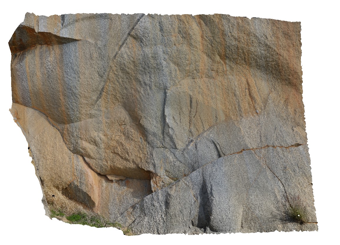
Boya quarry, Boya, Western Australia. |
0.00 |
-31.91484580000 |
116.06239402000 |
-9999.000 |
|
|
BHillGiga1 Map
 |
0 |
07/14/2015 12:24 p.m. |
Gigapixel image |
Browns Shaft, Junction Mine, image of gossan. Broken Hill. N.S.W. |
0.00 |
-31.95463000000 |
141.47885000000 |
-9999.000 |
gneiss |
gneiss |
ESCape14 Map
 |
20 |
03/16/2015 2:33 p.m. |
3D terrestrial photogrammetric model |
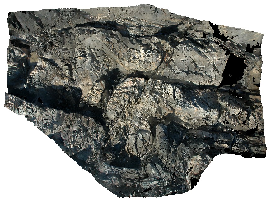
steeply plunging, folded turbiditic sandstone and siltstone beds of the Mathinna Supergroup. Sandy Point, Tas. |
0.00 |
-40.95007594000 |
147.35335474000 |
0.000 |
fold, turbidite, structure |
turbidite |
MallacootaGiga1 Map
 |
0 |
05/18/2015 2:01 p.m. |
Gigapixel image |
location inferred from nearby images. Mallacoota, Vic. |
0.00 |
-37.57225000000 |
149.76472000000 |
-9999.000 |
|
|
LiptrapPole1 Map
 |
20 |
03/13/2015 9:25 a.m. |
3D terrestrial photogrammetric model |
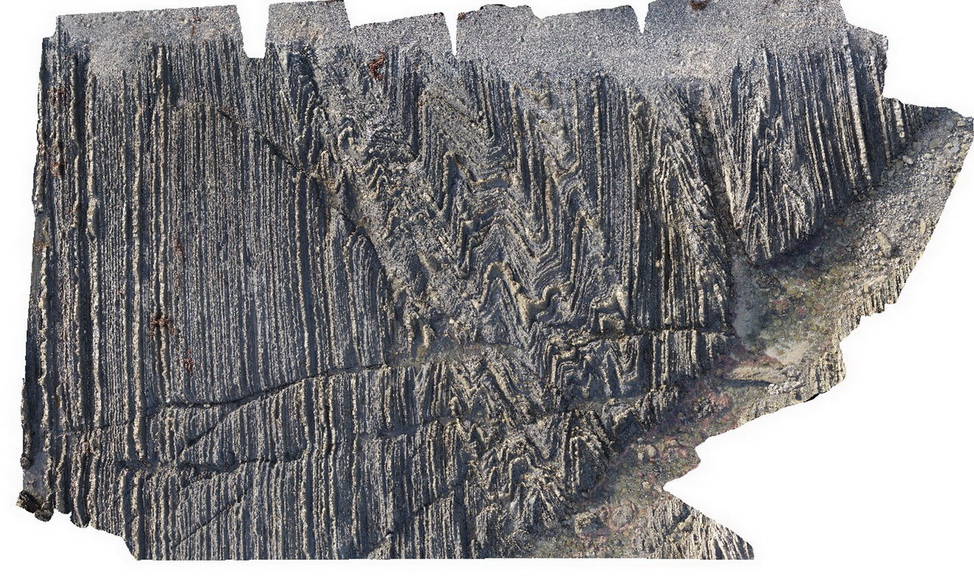
wave cut platform showing chevron folding and cross cutting faults in finely bedded turbidites. Cape Liptrap, Vic. |
0.00 |
-38.90406232000 |
145.91729772000 |
0.000 |
turbidite, chevron folds, structure |
turbidite |
LiptrapPole2 Map
 |
20 |
03/13/2015 9:25 a.m. |
3D terrestrial photogrammetric model |
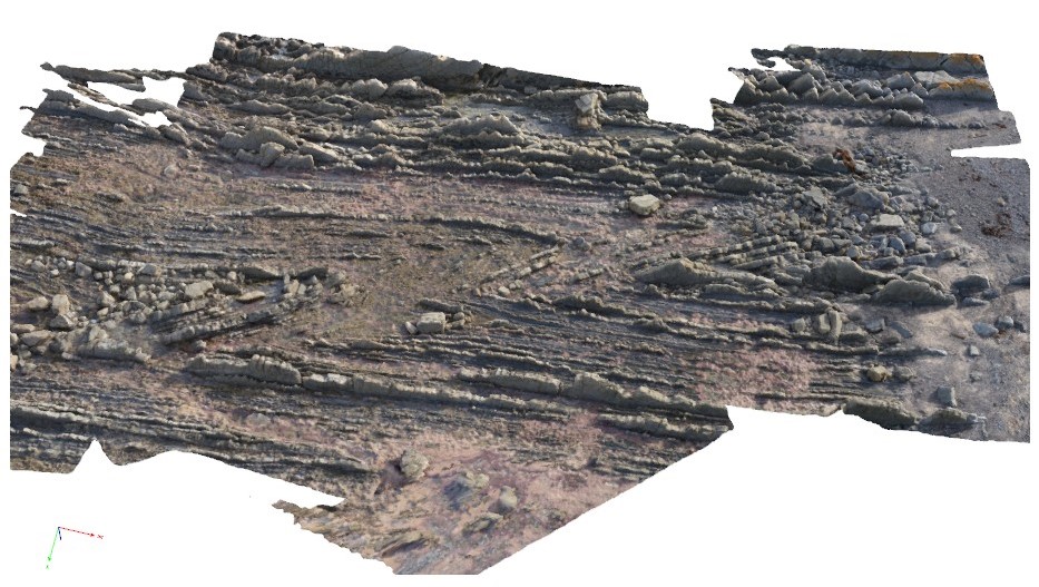
wave cut platform showing steeply plunging chevron folding in finely bedded turbiditic sequence. Cape Liptrap, Vic. |
0.00 |
-38.90414711000 |
145.91743374000 |
0.000 |
structure, chevron folds |
turbidite |
 AusGeol.org