FishermansRocks1 Map
 |
5 |
01/01/9999 midnight |
3D terrestrial photogrammetric model |
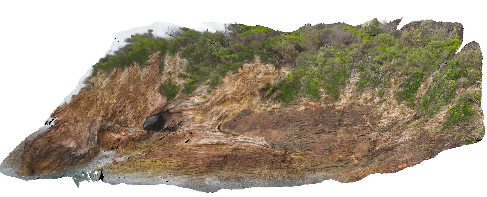
major F1 fold nearly recumbent with overprinted south-plunging F2 folds, numerous D2 faults. Mallacoota, Vic. |
30.00 |
-37.59847800000 |
149.73163400000 |
-9999.000 |
fold, recumbent fold, structure, F1, fold plunge |
turbidite |
QuarryBeach1 Map
 |
5 |
01/01/9999 midnight |
3D terrestrial photogrammetric model |
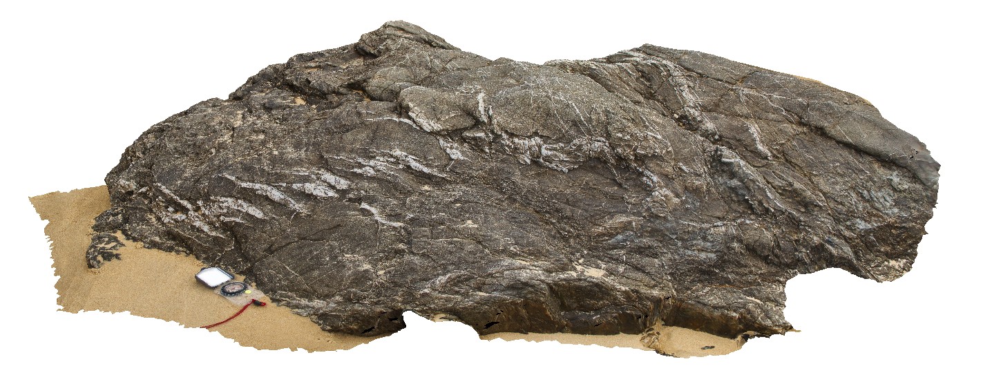
en echelon quartz veins in Mallacoota Beds. Mallacoota, Vic. |
1.50 |
-37.60242500000 |
149.72654600000 |
-9999.000 |
en echelon vein, vein, structure |
turbidite |
DavisBeach 1 Map
 |
5 |
01/01/9999 midnight |
3D terrestrial photogrammetric model |
faulted Mallacoota Beds. Mallacoota, Vic. |
3.00 |
-37.58055600000 |
149.74636600000 |
-9999.000 |
fault, structure |
turbidite |
DavisBeach2 Map
 |
5 |
01/01/9999 midnight |
3D terrestrial photogrammetric model |
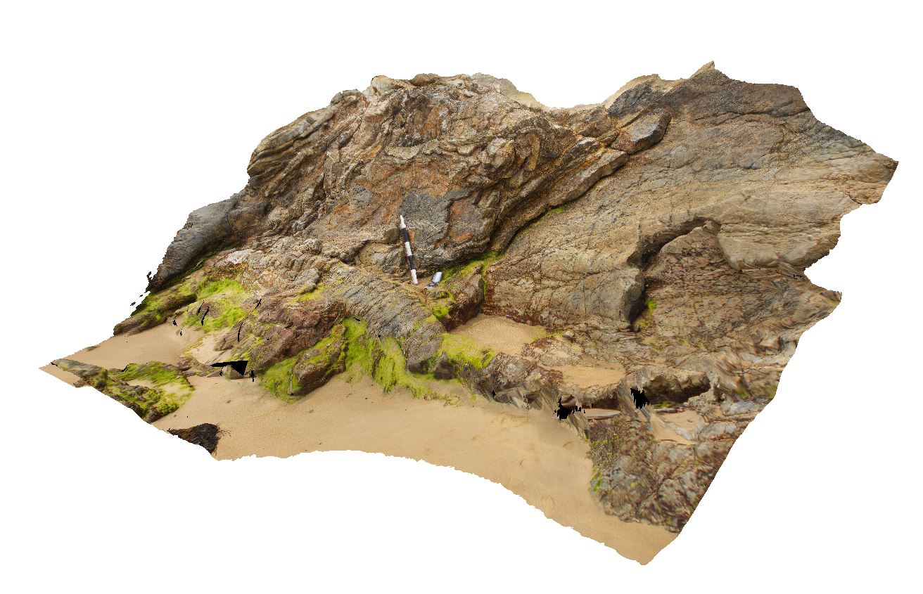
folded Mallacoota Beds. Mallacoota, Vic. |
3.50 |
-37.57783700000 |
149.75242500000 |
-9999.000 |
fold, turbidite |
turbidite |
Blackjack7 Map
 |
10 |
01/01/9999 midnight |
3D terrestrial photogrammetric model |
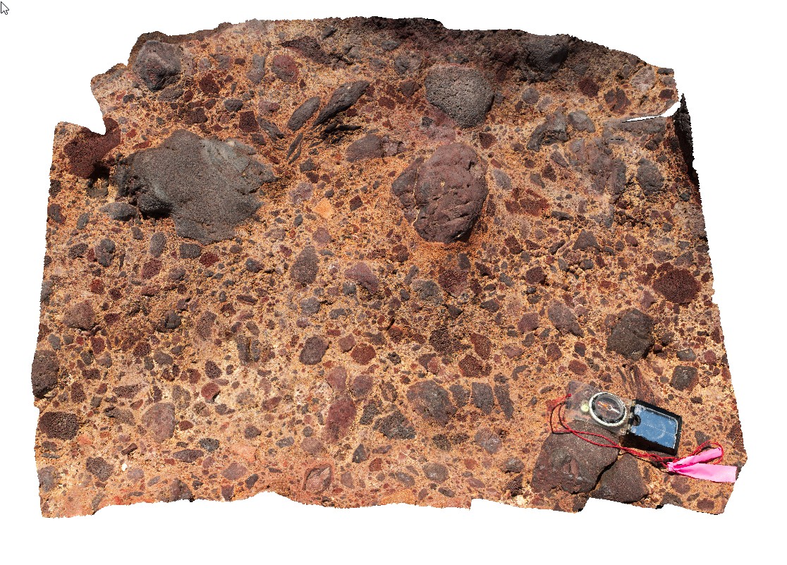
volcanic breccia with basaltic vesicular clasts on shore line. Black Jack Hills, Tas. |
1.00 |
-42.99269000000 |
147.65282000000 |
-9999.000 |
basaltic breccia`, volcanic textures |
basalt |
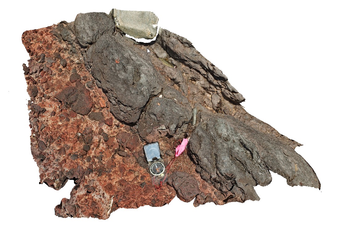
Blackjack8 Map
 |
10 |
01/01/9999 midnight |
3D terrestrial photogrammetric model |
lava overlying volcanic breccia, including very large basaltic bombs. Black Jack Hills, Tas. |
1.00 |
-42.99270000000 |
147.65276000000 |
-9999.000 |
lava, breccia, volcanic, basalt |
basalt |
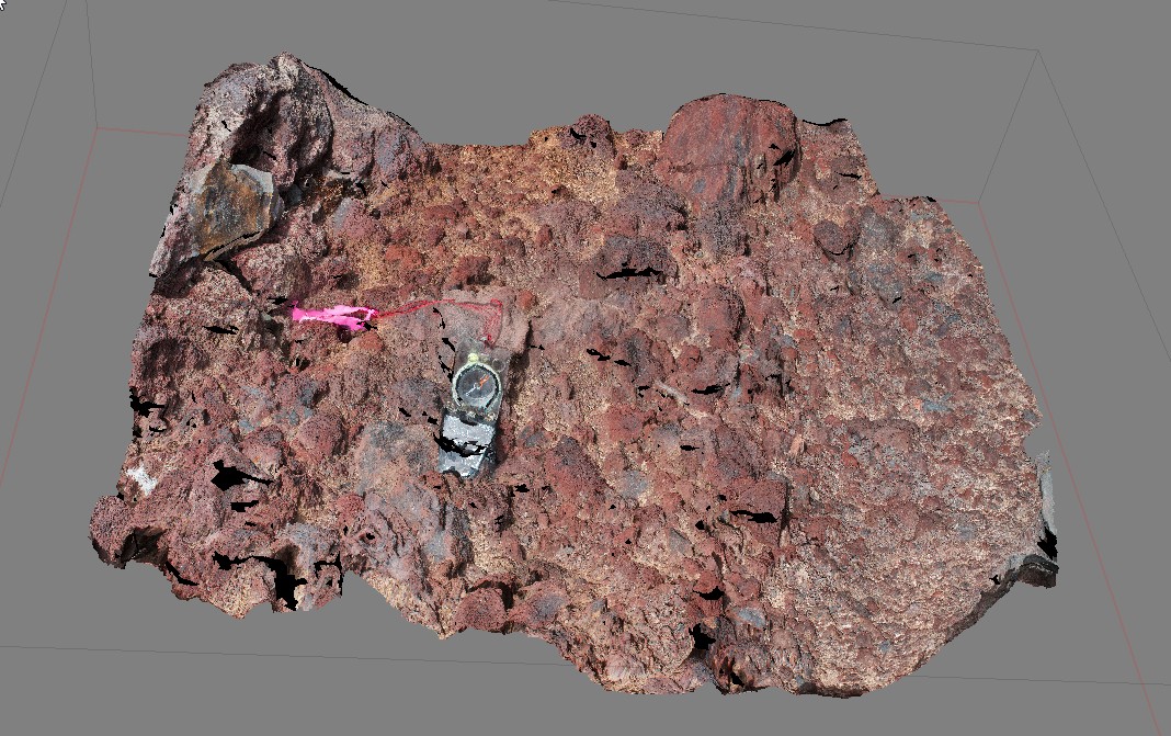
Blackjack9 Map
 |
10 |
01/01/9999 midnight |
3D terrestrial photogrammetric model |
detail of scoria / volcaniclastic deposit. Black Jack Hills, Tas. |
1.00 |
-42.99269000000 |
147.65282000000 |
-9999.000 |
volcanics, basalt, scoria |
basalt |
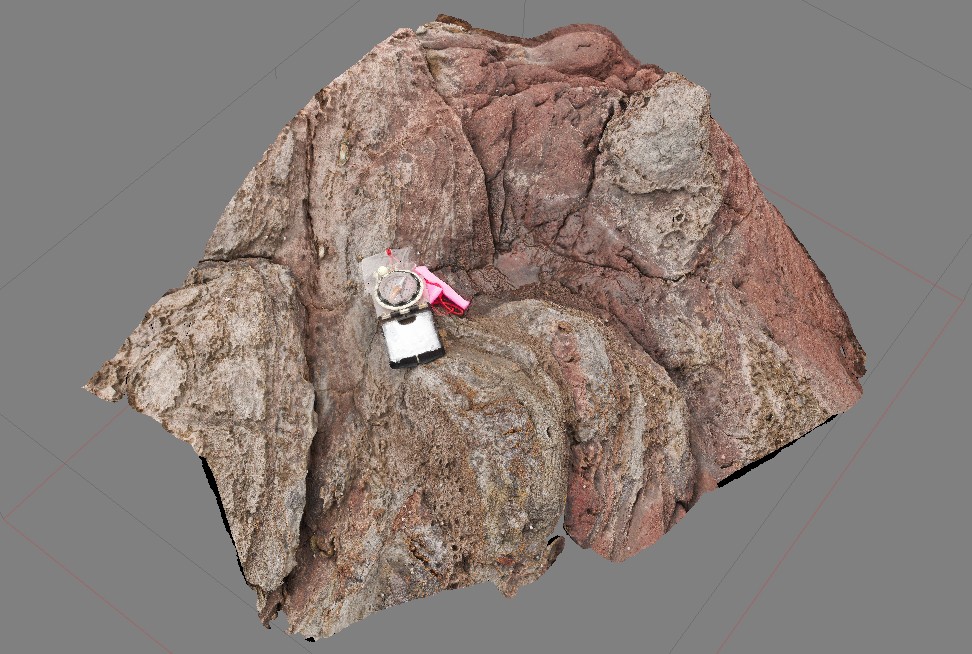
Blackjack10 Map
 |
20 |
01/01/9999 midnight |
3D terrestrial photogrammetric model |
contact between volcanic breccia and a basalt lava flow. Black Jack Hills, Tas. |
0.60 |
-42.99270000000 |
147.65276000000 |
-9999.000 |
lava, basalt, flow |
basalt |
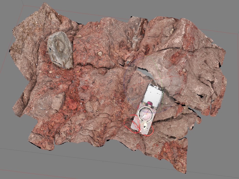
Blackjack11 Map
 |
20 |
01/01/9999 midnight |
3D terrestrial photogrammetric model |
volcanic breccia with basaltic vesicular clasts on shore line. Black Jack Hills, Tas. |
0.60 |
-42.99269000000 |
147.65282000000 |
-9999.000 |
volcanic breccia, volcanics, bomb |
basalt |
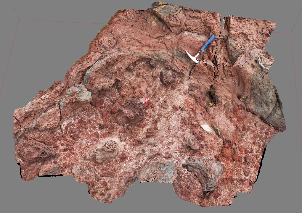
Blackjack12 Map
 |
20 |
01/01/9999 midnight |
3D terrestrial photogrammetric model |
contact between volcanic breccia and a basalt lava flow. Black Jack Hills, Tas. |
0.50 |
-42.99270000000 |
147.65276000000 |
-9999.000 |
contact, basaltic flow, breccia, volocanics |
basalt |
SandyCape3 Map
 |
5 |
01/01/9999 midnight |
3D terrestrial photogrammetric model |
Unidirectional solidification texture in granite. Sandy Cape, West Tasmania. |
5.00 |
-41.42201000000 |
144.74716000000 |
-9999.000 |
Unidirectional solidification texture, granite, igneous textures |
granite |
SandyCape4 Map
 |
5 |
01/01/9999 midnight |
3D terrestrial photogrammetric model |
Moderately dipping, low amplitude open fold comprising interbedded to finely interlaminated mid-dark grey siltstone and pale quartz siltstone-fine quartz sandstone, with common erosional structures, grading and cross lamination. Near Pedder River, W Tas. |
5.00 |
-41.42579000000 |
144.83099000000 |
-9999.000 |
open fold, sedimentology, structure |
siltstone |
SandyCape5 Map
 |
5 |
01/01/9999 midnight |
3D terrestrial photogrammetric model |
Moderately dipping interbedded to finely interlaminated mid-dark grey siltstone and pale quartz siltstone-fine quartz sandstone, with common erosional structures, grading and cross lamination. Wild Wave River, West Tasmania. |
6.00 |
-41.36858000000 |
144.84298000000 |
-9999.000 |
bedding, sedimentology |
siltstone |
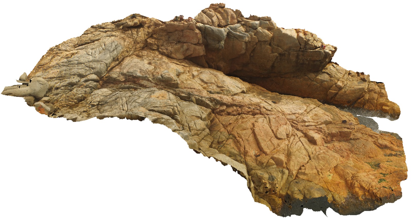
BluestoneUAV6 Map
 |
20 |
01/01/9999 midnight |
3D UAV photogrammetric model |
detailed view of granite / granodiorite contact. Bluestone Bay, Freycinet. Tasmania. |
42.40 |
-42.10340100000 |
148.33612800000 |
9.500 |
granite, granodiorite, intrusive contact |
granite, granodiorite |
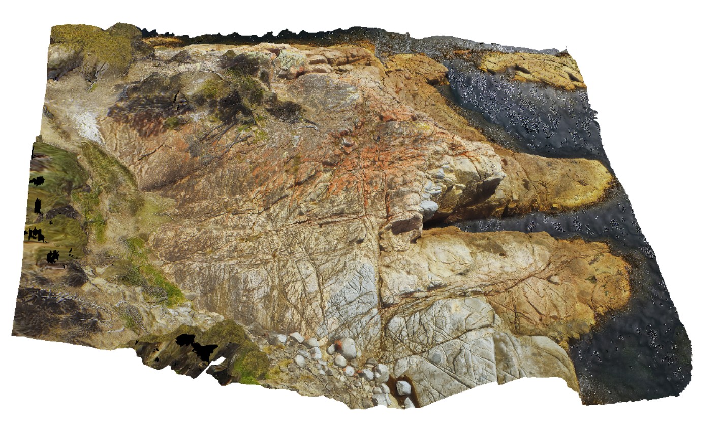
BluestoneUAV8 Map
 |
20 |
01/01/9999 midnight |
3D UAV photogrammetric model |
detailed aerial view of granite / granodiorite contact. Bluestone Bay, Freycinet. Tasmania. |
78.00 |
-42.10331200000 |
148.33529300000 |
29.300 |
intrusive contact, Coles Bay Granite, Bluestone Bay Granodiorite |
granite, granodiorite |
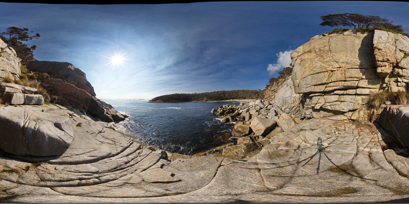
BluestoneFSP1 Map
 |
5 |
01/01/9999 midnight |
Full Spherical Panorama |
360 degree view of grey granodiorite with intruding aplite dykes. Bluestone Bay. Tasmania. |
500.00 |
-42.10373900000 |
148.33212600000 |
2.000 |
granodiorite, aplite, dyke |
granodiorite, aplite |
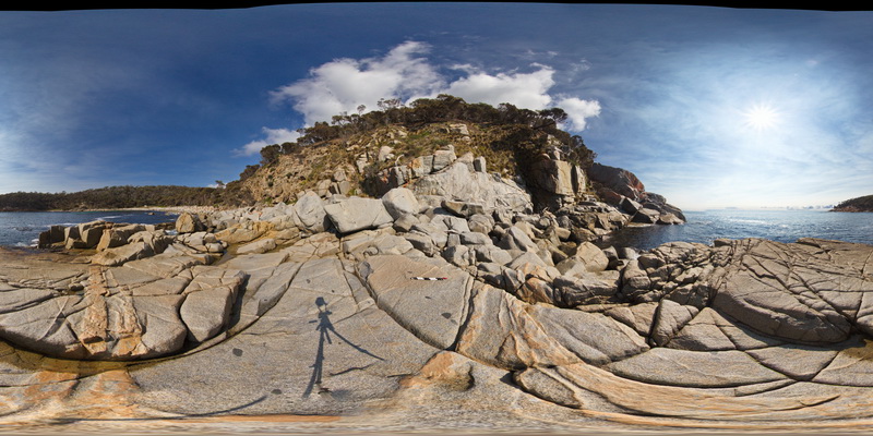
BluestoneFSP2 Map
 |
5 |
01/01/9999 midnight |
Full Spherical Panorama |
360 degree view of grey granodiorite with intruding aplite dykes. Bluestone Bay. Tasmania. |
500.00 |
-42.10414300000 |
148.33217600000 |
2.000 |
granodiorite, aplite, dyke |
granodiorite, aplite |
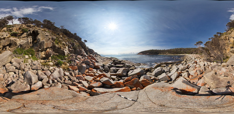
BluestoneFSP3 Map
 |
5 |
01/01/9999 midnight |
Full Spherical Panorama |
View of disaggregated mafic dyke, Bluestone Bay, Freycinet. Tasmania. |
500.00 |
-42.10440800000 |
148.33218000000 |
2.000 |
dyke, granodiorite |
granodiorite, mafic |
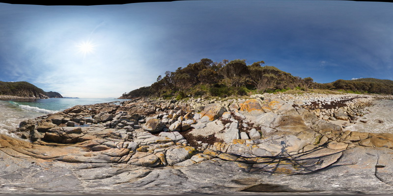
BluestoneFSP5 Map
 |
5 |
01/01/9999 midnight |
Full Spherical Panorama |
View of granodiorite with abundant xenoliths. Bluestone Bay, Freycinet. Tasmania. |
500.00 |
-42.10553000000 |
148.33378800000 |
2.000 |
xenolith, granodiorite |
granodiorite |
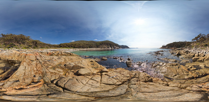
BluestoneFSP6 Map
 |
5 |
01/01/9999 midnight |
Full Spherical Panorama |
View of granodiorite with xenoliths and cross-cutting aplite dykes. Bluestone Bay, Freycinet. Tasmania. |
500.00 |
-42.10531800000 |
148.33388800000 |
2.000 |
granodiorite, aplite dyke, xenolith |
granodiorite |
BluestoneFSP7 Map
 |
5 |
01/01/9999 midnight |
Full Spherical Panorama |
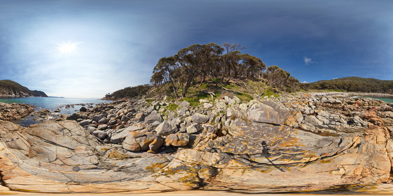
View of granodiorite with cross-cutting aplite dykes. Bluestone Bay, Freycinet. Tasmania. |
500.00 |
-42.10540700000 |
148.33402300000 |
2.000 |
granodiorite, aplite |
granodiorite |
BluestoneFSP8 Map
 |
5 |
01/01/9999 midnight |
Full Spherical Panorama |
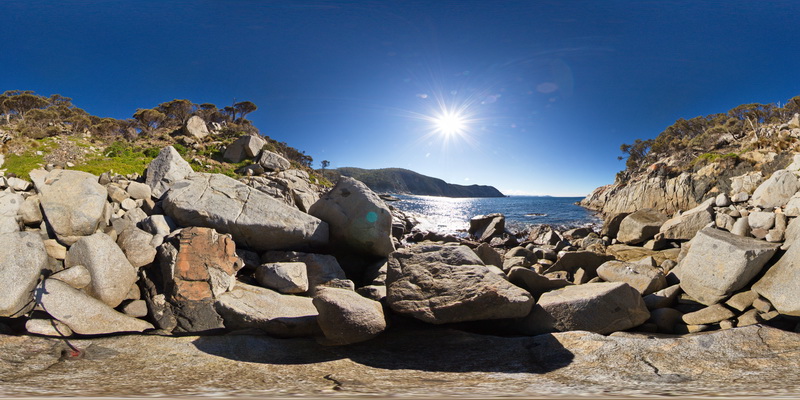
View of granodiorite with xenoliths. Bluestone Bay, Freycinet. Tasmania. |
100.00 |
-42.10343200000 |
148.33744000000 |
2.000 |
xenolith, granodiorite |
granodiorite |
BluestoneFSP9 Map
 |
5 |
01/01/9999 midnight |
Full Spherical Panorama |
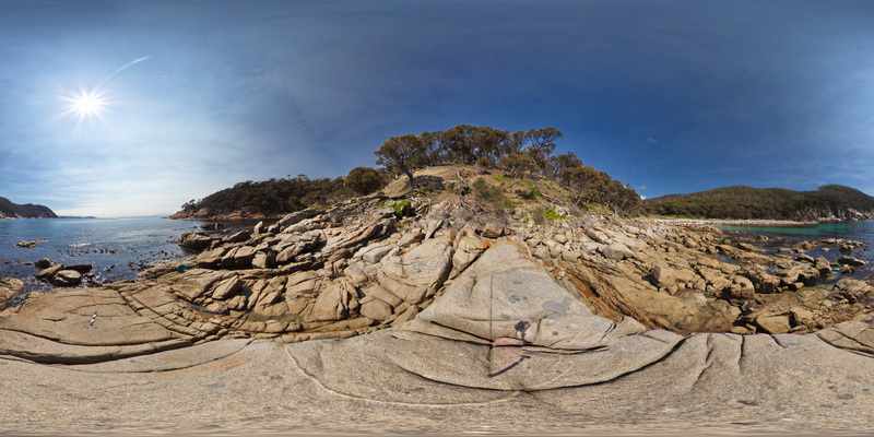
View of granodiorite with xenoliths. Bluestone Bay, Freycinet. Tasmania. |
500.00 |
-42.10517600000 |
148.33443600000 |
2.000 |
xenoliths, granodiorite |
granodiorite |
BluestoneFSP10 Map
 |
5 |
01/01/9999 midnight |
Full Spherical Panorama |
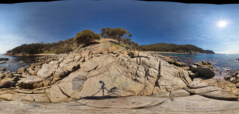
View of granodiorite with xenoliths. Bluestone Bay, Freycinet. Tasmania. |
500.00 |
-42.10512000000 |
148.33464800000 |
2.000 |
granodiorite, xenolith |
granodiorite |
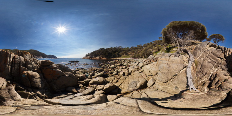
BluestoneFSP11 Map
 |
5 |
01/01/9999 midnight |
Full Spherical Panorama |
View of granodiorite with xenoliths and large cross-cutting quartz / tourmaline vein. Bluestone Bay, Freycinet. Tasmania. |
300.00 |
-42.10515900000 |
148.33479900000 |
2.000 |
vein, xenolith, granodiorite |
granodiorite |
 AusGeol.org