SwanseaUAV1 Map
 |
20 |
01/01/9999 midnight |
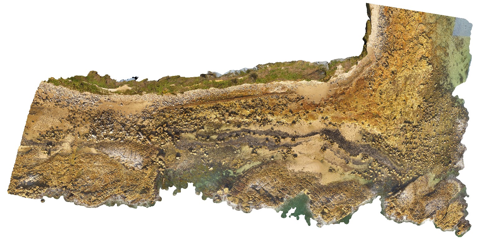
3D terrestrial photogrammetric model |
Coastal platform with numerous petrified/coalified tree stumps within tuffaceous rocks of the Permian Boolaroo Formation. Swansea, N.S.W. |
500.00 |
-33.08807500000 |
151.66484200000 |
17.500 |
tuff, petrified forest |
tuff |
Copley1 Map
 |
5 |
01/01/9999 midnight |
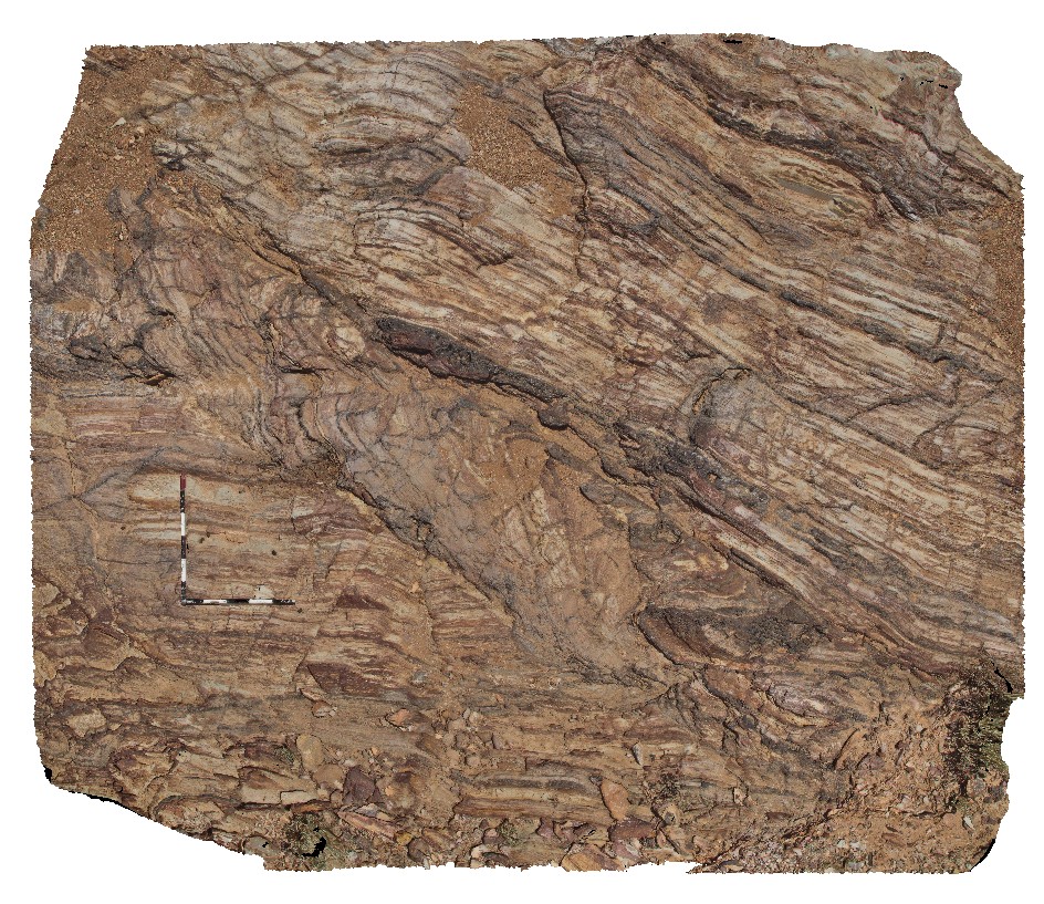
3D terrestrial photogrammetric model |
fault zone in thinly layered, fine-grained sandstone and siltstone with hematite veins in Adelaidean metasediments. Copley, S.A. |
6.50 |
-30.52473000000 |
138.53651000000 |
309.000 |
Adelaidean, fault zone, metasediments, metamorphic |
metasediments |
Copley2 Map
 |
5 |
01/01/9999 midnight |
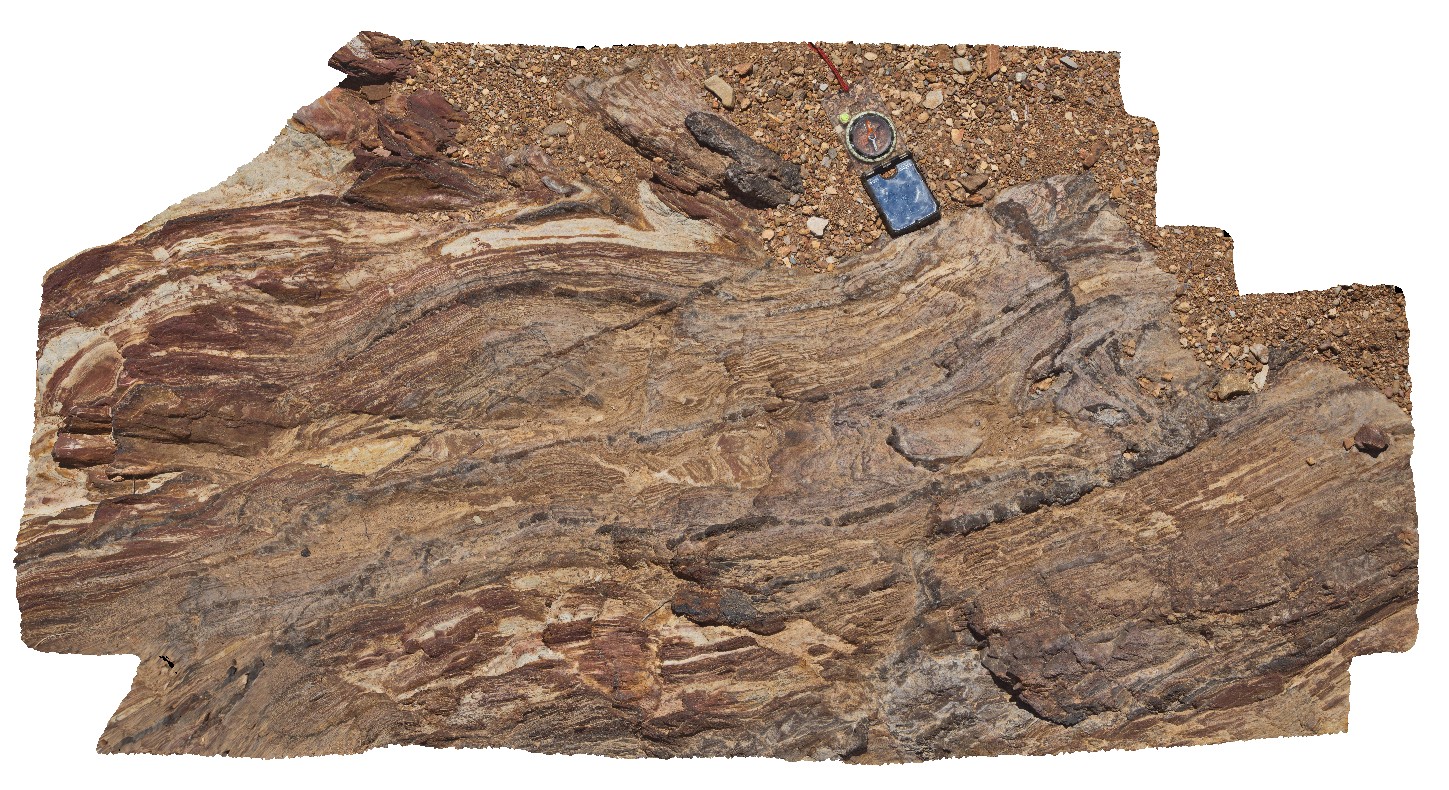
3D terrestrial photogrammetric model |
detailed view of fold and fault zone in thinly bedded sandstone and siltstone in Adelaidean metasediments. Copley, S.A. |
1.40 |
-30.52472000000 |
138.53644000000 |
309.000 |
Adelaidean, fault, fold, structure, metasediments |
metasediments |
Copley3 Map
 |
5 |
01/01/9999 midnight |
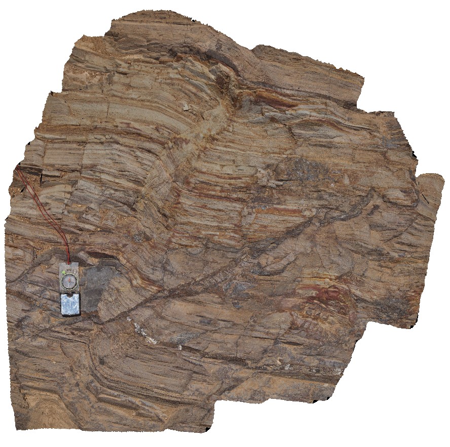
3D terrestrial photogrammetric model |
iron oxide infilled fault breccia with kink-bands in Adelaidean metasediments. Copley, S.A. |
1.40 |
-30.52467000000 |
138.53604000000 |
-9999.000 |
fault, structure, kink band, metasediment, Adelaidean |
metasediments |
Copley4 Map
 |
5 |
01/01/9999 midnight |
3D terrestrial photogrammetric model |
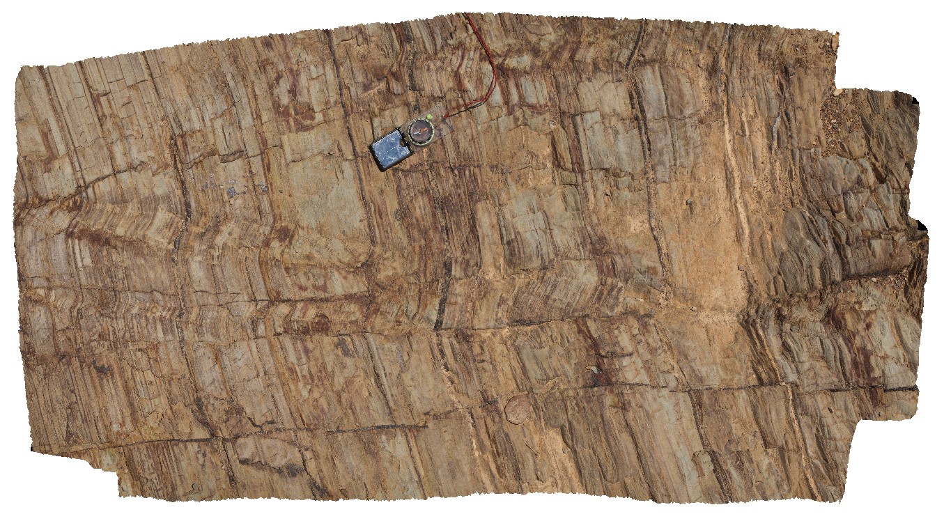
kink bands and folds in fine-grained sandstone and siltstones of Adelaidean metasediments. Iron oxide veins run parallel to and cross cut bedding. Copley, S.A. |
1.50 |
-30.52471000000 |
138.53619000000 |
-9999.000 |
folds, kink bands, fault, structure, sediments, Adelaidean |
metasediments |
Italowie1 Map
 |
5 |
01/01/9999 midnight |
3D terrestrial photogrammetric model |
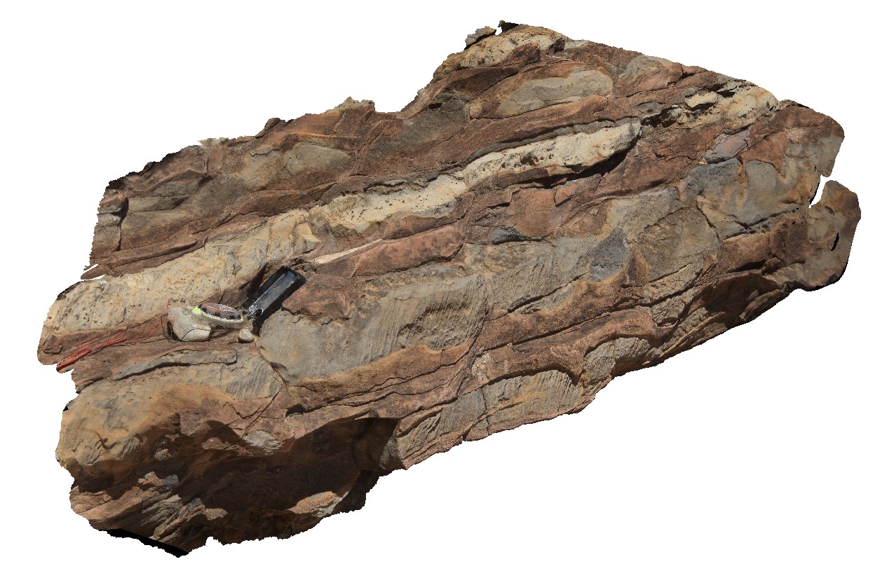
detail of carbonate layers with limestone and dolomite. Hematite psuedomorphs after pyrite in light coloured layers. Adelaidean domain, Italowie, S.A. |
1.30 |
-30.59696000000 |
139.05978000000 |
-9999.000 |
carbonate, dolomite, psuedomorph |
limestone |
Italowie2 Map
 |
5 |
01/01/9999 midnight |
3D terrestrial photogrammetric model |
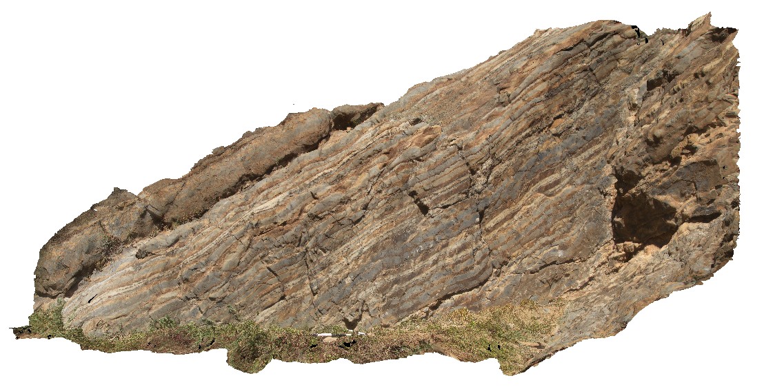
general view of layered and dipping carbonate sequence with thinly bedded limestone and dolomite. Adelaidean domain, Italowie, S.A. |
6.00 |
-30.59690000000 |
139.05988000000 |
-9999.000 |
carbonates, Adelaidean domain |
carbonate |
Italowie3 Map
 |
5 |
01/01/9999 midnight |
3D terrestrial photogrammetric model |
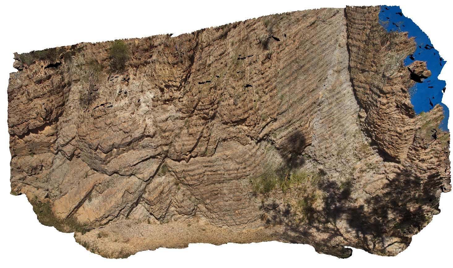
large-scale view of the carbonate outcrop, showing med-thickly bedded limestone and dolomite with open folding. Adelaidean domain, Italowie, S.A. |
20.00 |
-30.59710000000 |
139.05960000000 |
-9999.000 |
fold, structure, carbonates, open fold |
carbonate |
Italowie4 Map
 |
5 |
01/01/9999 midnight |
3D terrestrial photogrammetric model |
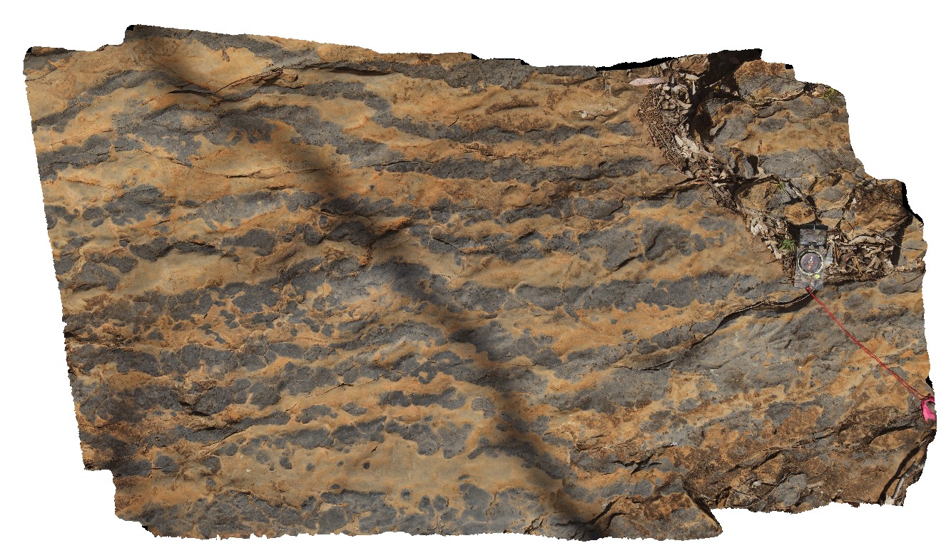
dolomite replacement textures in limestone. Adelaidean domain, Italowie, S.A. |
2.00 |
-30.59956000000 |
139.08430000000 |
-9999.000 |
dolomite, replacement textures, limestone, Adelaidean domain |
carbonate |
Albany16 Map
 |
0 |
06/05/2016 10:39 a.m. |
3D terrestrial photogrammetric model |
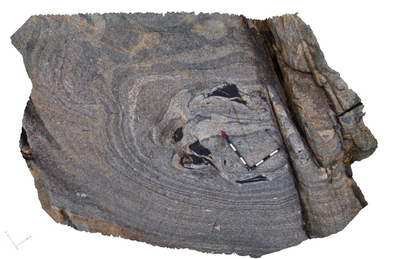
disaggregated dyke fragment in the core of synformal fold in gneiss. Albany, W.A. |
4.00 |
-35.11829000000 |
117.89302000000 |
-9999.000 |
disaggregated dyke, synformal fold |
granitic gneiss, mafic |
Albany2 Map
 |
0 |
06/05/2016 10:34 a.m. |
3D terrestrial photogrammetric model |
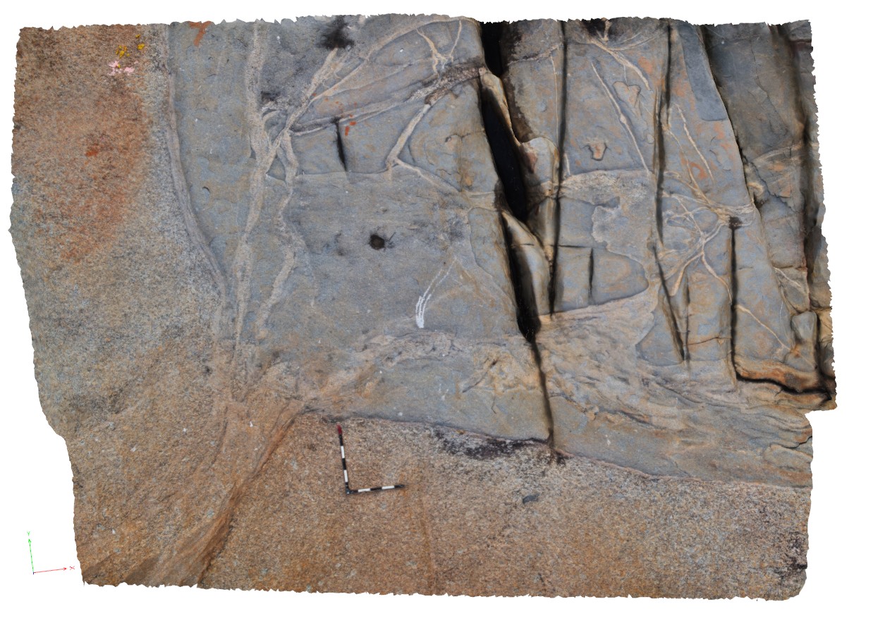
complex intrusive relationships showing porphyry granite with xenoliths and intruded by grey granodiorite. Albany, W.A. |
6.00 |
-35.08972000000 |
117.95035000000 |
-9999.000 |
xenolith, igneous contact |
granite, granodiorite |
Albany3 Map
 |
0 |
06/05/2016 10:35 a.m. |
3D terrestrial photogrammetric model |
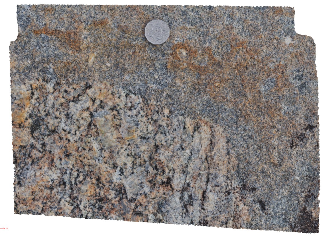
macro view of contact between porphyritic granite and grey granodiorite, Albany, W.A. |
0.40 |
-35.08981000000 |
117.95055000000 |
-9999.000 |
granodiorite, porphyritic granite, igneous contact, intrusive contact |
granite, granodiorite |
AlbanyFSP2 Map
 |
0 |
06/05/2016 10:39 a.m. |
Full Spherical Panorama |
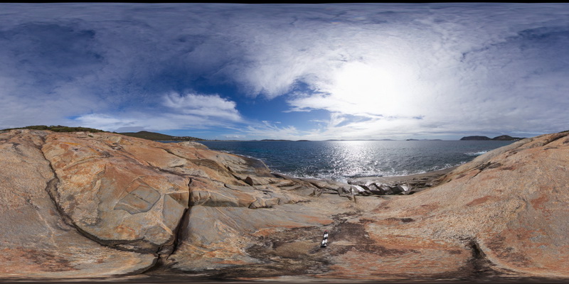
shoreline outcrop, showing complex intrusive relationships between porphyry granite, intruded by grey granodiorite and cross cut by porphyry dykes. Albany, W.A. |
100.00 |
-35.08977000000 |
117.95050000000 |
-9999.000 |
igneous contact, intrusive contact, xenolith |
granite, granodiorite, porphyry |
AlbanyFSP2 Map
|
0 |
06/05/2016 10:39 a.m. |
Full Spherical Panorama |
shoreline outcrop, showing complex intrusive relationships between porphyry granite, intruded by grey granodiorite and cross cut by porphyry dykes. Albany, W.A. |
100.00 |
-35.08977000000 |
117.95050000000 |
-9999.000 |
igneous contact, intrusive contact, xenolith |
granite, granodiorite, porphyry |
AlbanyFSP3 Map
 |
0 |
06/05/2016 10:39 a.m. |
Full Spherical Panorama |
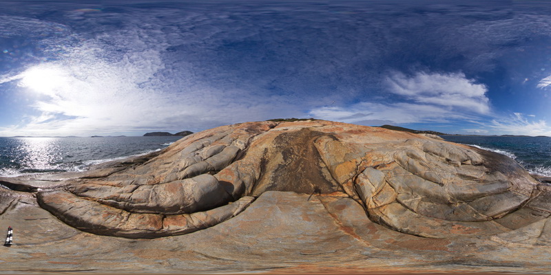
shoreline outcrop, showing complex intrusive relationships between porphyry granite, intruded by grey granodiorite and cross cut by porphyry dykes. Albany, W.A. |
100.00 |
-35.08969000000 |
117.95044000000 |
-9999.000 |
granodiorite, granite, porphyry dyke |
granite, granodiorite, porphyry |
AlbanyFSP5 Map
 |
0 |
06/05/2016 10:40 a.m. |
Full Spherical Panorama |
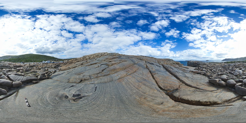
overview of the shore exposure at 'The Gap', showing granodiorite intruding banded granitic gneiss with disaggregated mafic dykes. Albany |
100.00 |
-35.11831000000 |
117.89301000000 |
-9999.000 |
granitic gneiss, mafic dyke, igneous intrusion |
granitic gneiss, granodiorite |
AlbanyFSP6 Map
 |
0 |
06/05/2016 10:40 a.m. |
Full Spherical Panorama |
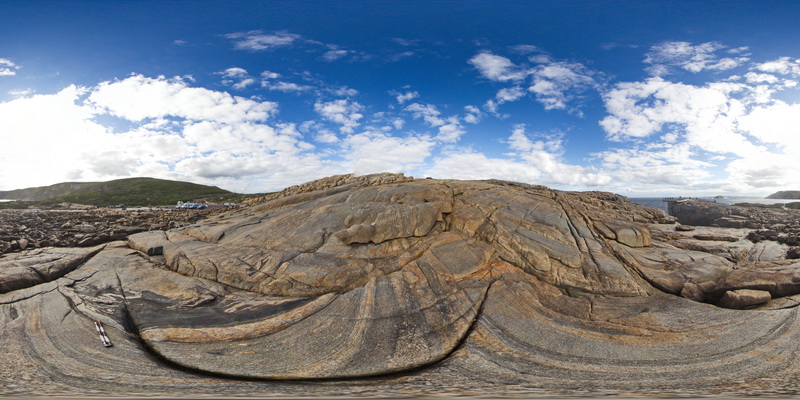
overview of the shore exposure at 'The Gap', showing granodiorite intruding banded granitic gneiss with disaggregated mafic dykes. Albany |
100.00 |
-35.11838000000 |
117.89299000000 |
-9999.000 |
mafic dyke, banded gneiss, structure, folding |
gneiss, granodiorite |
AlbanyFSP7 Map
 |
0 |
01/01/9999 midnight |
Full Spherical Panorama |
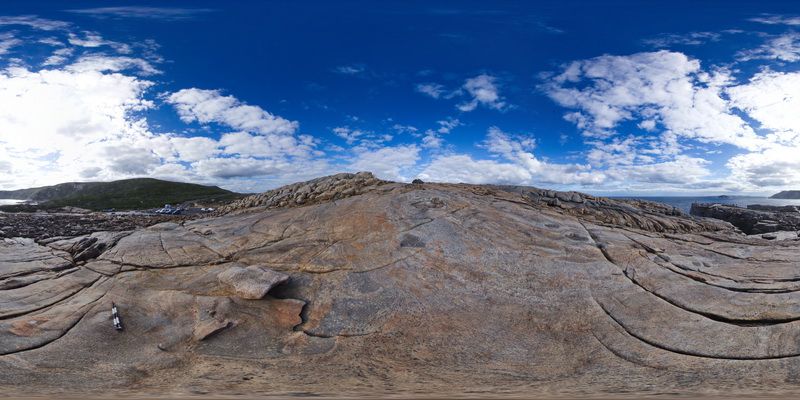
Overall view of the shore exposure at 'The Gap', showing banded granitic gneiss intruded by grey granodiorite. Albany. W.A. |
100.00 |
-35.11848000000 |
117.89305000000 |
-9999.000 |
granodiorite, banded gneiss, igneous contract |
granite gneiss, granodiorite |
AlbanyFSP8 Map
 |
0 |
01/01/9999 midnight |
Full Spherical Panorama |
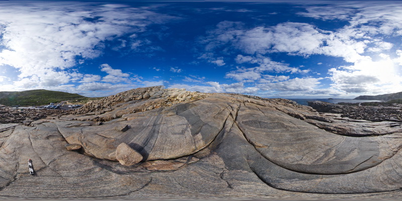
Overall view of the shore exposure at 'The Gap', showing banded granitic gneiss intruded by grey granodiorite. Albany. W.A. |
100.00 |
-35.11839000000 |
117.89310000000 |
-9999.000 |
granitic gneiss, granodiorite |
granite gneiss, granodiorite |
AlbanyUAV1 Map
 |
0 |
01/01/9999 midnight |
3D UAV photogrammetric model |
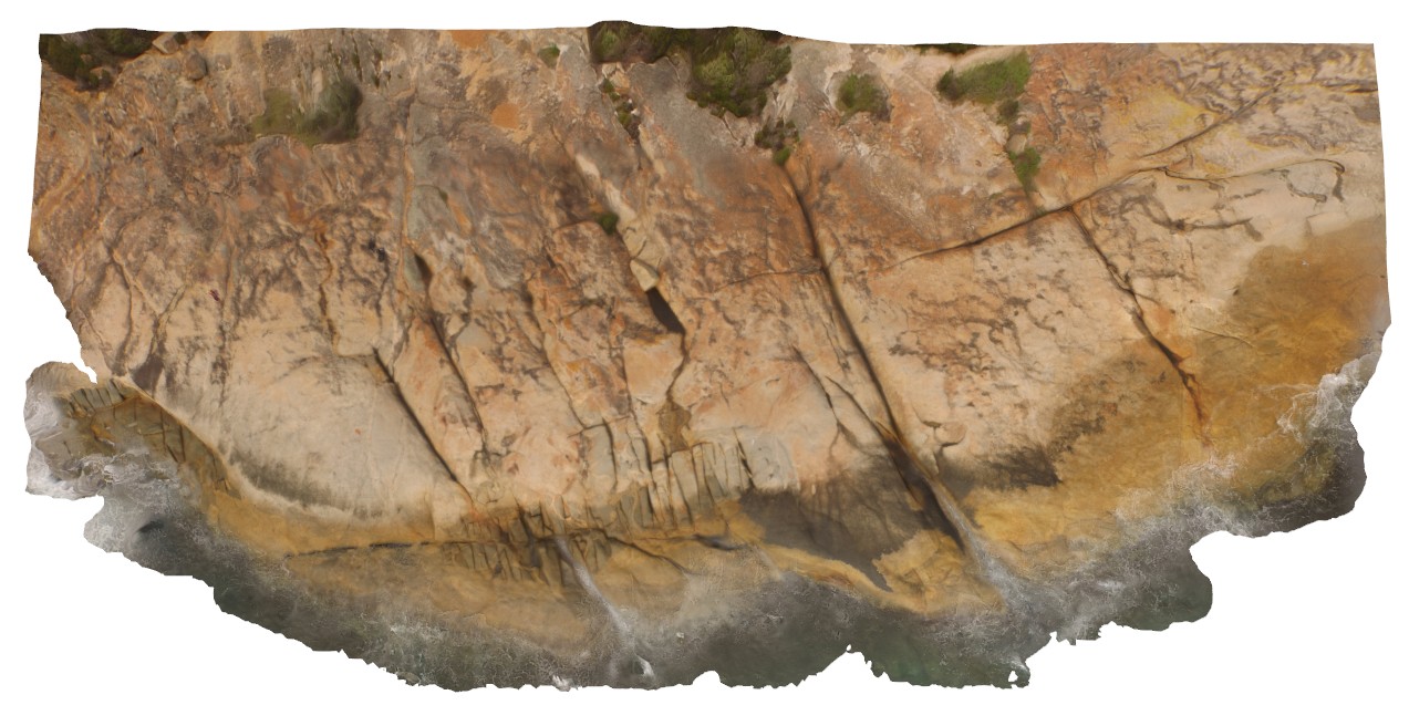
aerial view, showing complex relationships in granite. Porphyritic granite with 'quartzite' xenoliths intruded by grey 'granodiorite' all cut by thin pegmatite dykes. Albany, W.A. |
50.00 |
-35.08986000000 |
117.95056000000 |
-9999.000 |
granite, intrusive contact, xenolith |
granite, granodiorite, porphyry |
AlbanyUAV1 Map
|
0 |
01/01/9999 midnight |
3D UAV photogrammetric model |
aerial view, showing complex relationships in granite. Porphyritic granite with 'quartzite' xenoliths intruded by grey 'granodiorite' all cut by thin pegmatite dykes. Albany, W.A. |
50.00 |
-35.08986000000 |
117.95056000000 |
-9999.000 |
granite, intrusive contact, xenolith |
granite, granodiorite, porphyry |
Ballarat9 Map
 |
0 |
06/05/2016 10:36 a.m. |
3D terrestrial photogrammetric model |
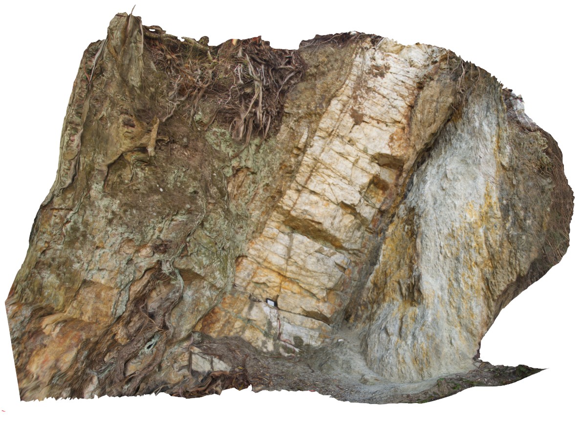
steeply dipping quartz vein / blow along the possible position of the Avoca Fault, Ballarat, Vic. |
3.00 |
-37.72817000000 |
143.62782000000 |
-9999.000 |
fault zone, quartz vein, shear zone |
metasediments, quartz |
Bellingham1 Map
 |
5 |
01/01/9999 midnight |
3D terrestrial photogrammetric model |
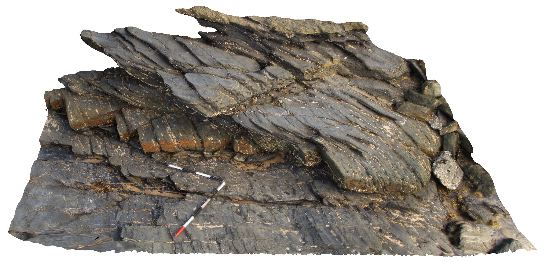
outcrop showing pronounced cleavage refraction - cleavage in fine-grained unit approximates the fold axial plane. Bellingham, NE Tasmania. |
3.00 |
-41.00683000000 |
147.16264000000 |
-9999.000 |
cleavage refraction, cleavage, structure, folding |
mudstone, sandstone |
Bellingham1 Map
|
5 |
01/01/9999 midnight |
3D terrestrial photogrammetric model |
outcrop showing pronounced cleavage refraction - cleavage in fine-grained unit approximates the fold axial plane. Bellingham, NE Tasmania. |
3.00 |
-41.00683000000 |
147.16264000000 |
-9999.000 |
cleavage refraction, cleavage, structure, folding |
mudstone, sandstone |
Bellingham2 Map
 |
5 |
01/01/9999 midnight |
3D terrestrial photogrammetric model |
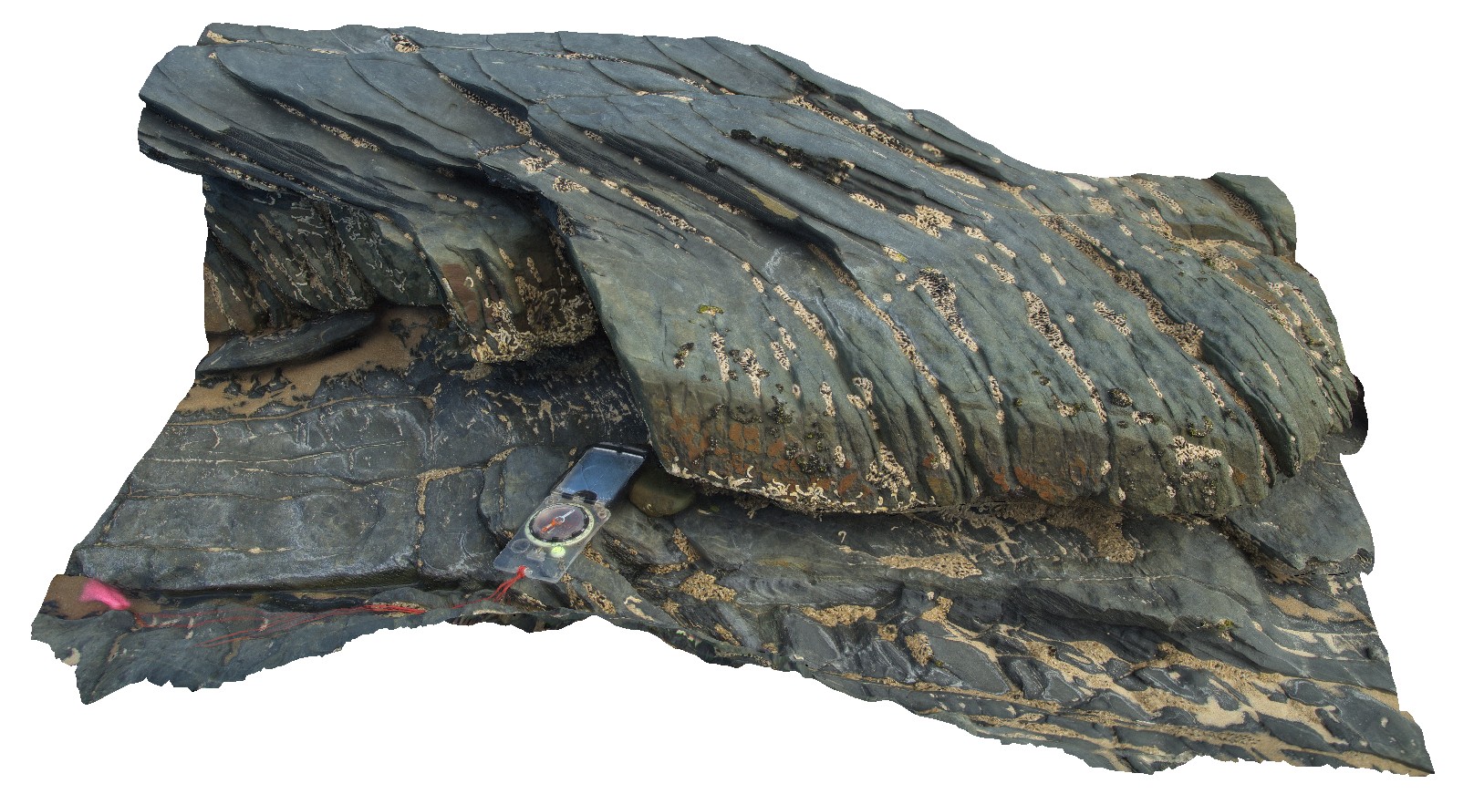
detail of refracted cleavage in mudstones and sandstone layers from site Bellingham1, showing cleavage in mudstone approximates the fold axial plane. Bellingham, NE Tasmania. |
1.00 |
-41.00683000000 |
147.16264000000 |
-9999.000 |
refracted cleavage, cleavage, structure |
mudstone, sandstone |
 AusGeol.org