Jourama4 Map
 |
20 |
04/28/2016 3:19 p.m. |
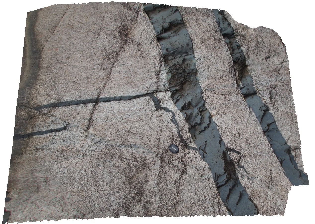
3D terrestrial photogrammetric model |
Dolerite dykes intruding granite. Clear examples of small scale intrusive structures. Jourama Falls, QLD. |
4.00 |
-18.86575200000 |
146.12705800000 |
121.000 |
Granite, mafic dyke swarm, cross cutting relationships, igneous |
granite, dolerite |
Jourama3 Map
 |
20 |
04/28/2016 3:10 p.m. |
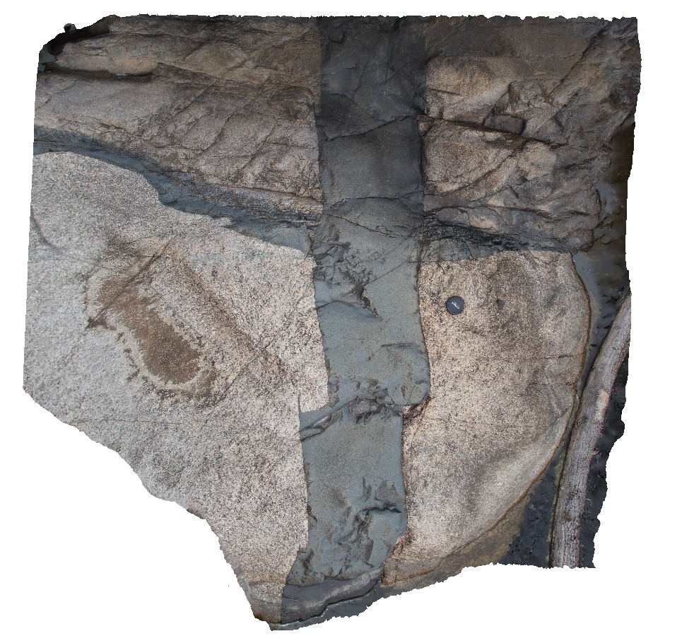
3D terrestrial photogrammetric model |
Dolerite dykes intruding granite. Clear examples of small scale intrusive structures. Jourama Falls, QLD. |
3.00 |
-18.86580700000 |
146.12706740000 |
121.000 |
Granite, mafic dyke swarm, cross cutting relationships, igneous |
granite, dolerite |
Jourama2 Map
 |
20 |
04/28/2016 3:04 p.m. |
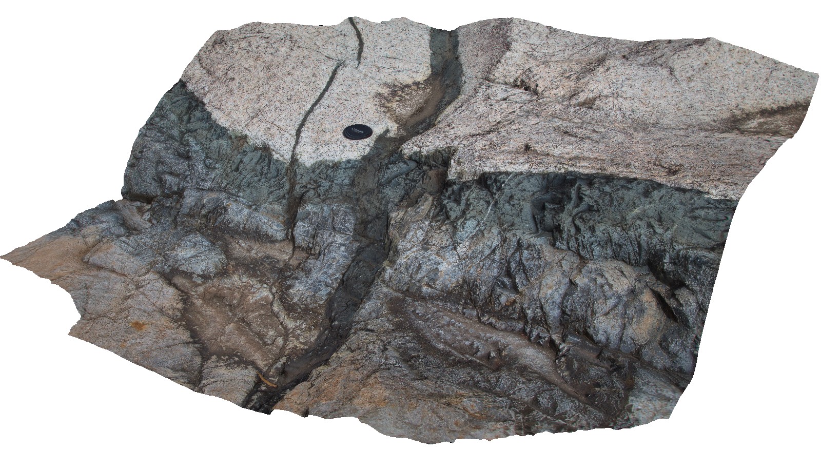
3D terrestrial photogrammetric model |
Dolerite dykes intruding granite. Clear examples of small scale intrusive structures. Jourama Falls, QLD. |
2.00 |
-18.86578800000 |
146.12699200000 |
122.000 |
Granite, dolerite dyke swarm, cross cutting relationships, igneous |
granite, dolerite |
Jourama1 Map
 |
20 |
04/28/2016 2:59 p.m. |
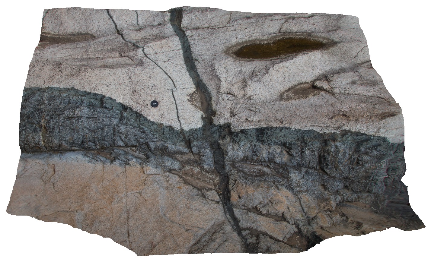
3D terrestrial photogrammetric model |
dolerite dykes intruding granite. Clear examples of small scale intrusive structures. Jourama Falls, QLD. |
4.00 |
-18.86587200000 |
146.12700700000 |
125.000 |
Granite, dolerite dyke swarm, cross cutting relationships, igneous |
granite, dolerite |
BluestoneUAV6 Map
 |
20 |
01/01/9999 midnight |
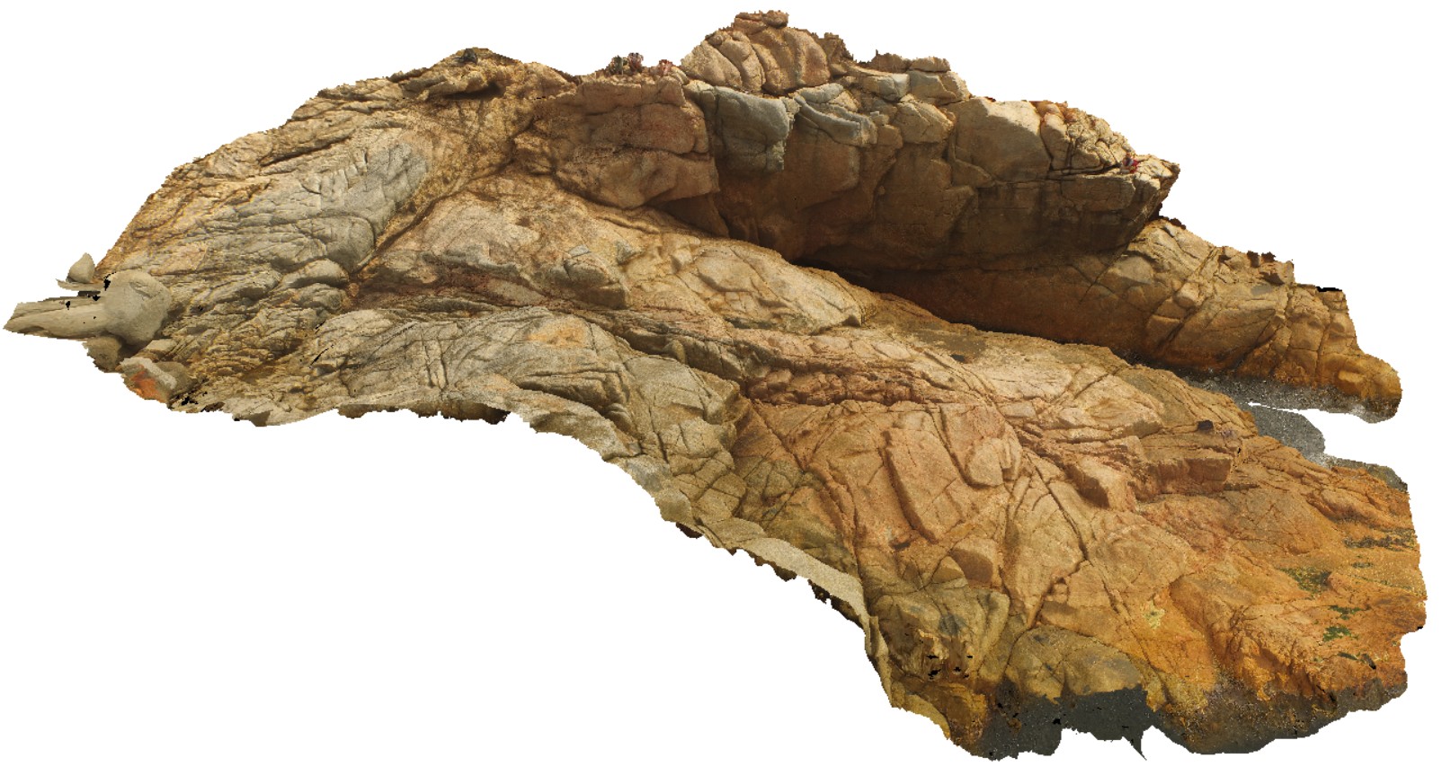
3D UAV photogrammetric model |
detailed view of granite / granodiorite contact. Bluestone Bay, Freycinet. Tasmania. |
42.40 |
-42.10340100000 |
148.33612800000 |
9.500 |
granite, granodiorite, intrusive contact |
granite, granodiorite |
CapeAridUAV2 Map
 |
20 |
01/01/9999 midnight |
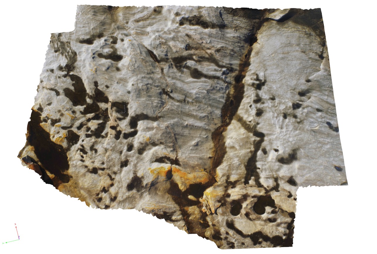
3D UAV photogrammetric model |
aerial view of folded pegmatite and gneissic layers. Cape Arid, W.A. |
200.00 |
-33.90626600000 |
123.35366500000 |
5.800 |
pegmatite, gneiss |
gneiss, pegmatite |
BremerUAV1 Map
 |
20 |
01/01/9999 midnight |
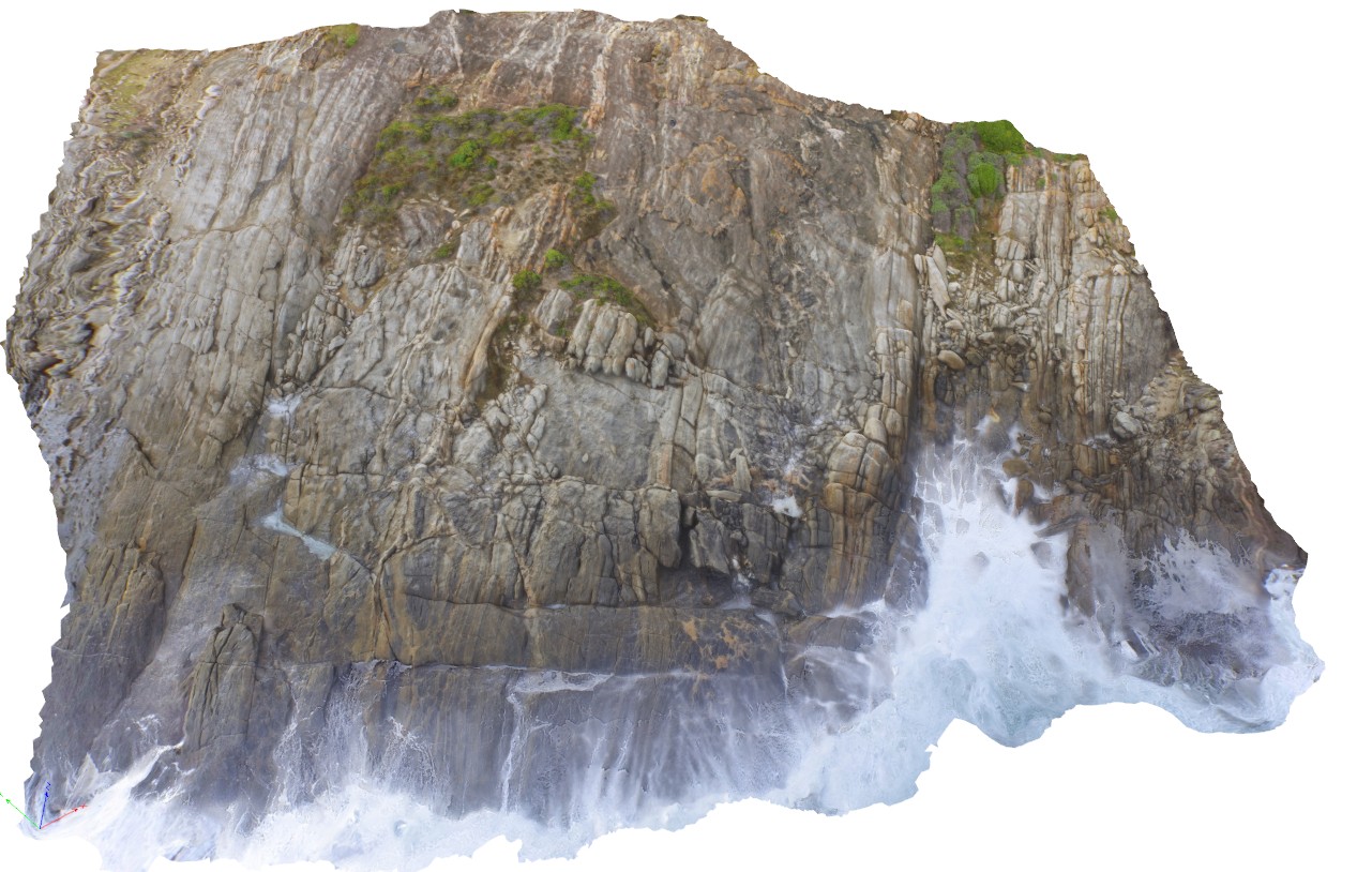
3D UAV photogrammetric model |
aerial view of gneissic outcrop at Nature Dog Beach. Bremer Bay, W.A. |
20.00 |
-34.45622300000 |
119.36205000000 |
17.500 |
banded gneiss |
gneiss |
HallPointFSP4 Map
 |
20 |
01/01/9999 midnight |
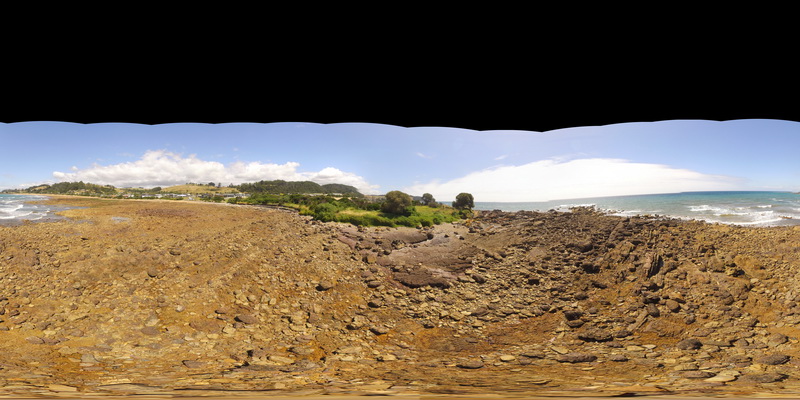
Full Spherical Panorama |
basal Ordovician unconformity with underlying folded Precambrian quartzite. Hall Point, Sulphur Creek. Tasmania. |
300.00 |
-41.09298700000 |
146.02833200000 |
1.000 |
unconformity, metasediments |
quartzite, conglomerate |
AlbanyUAV2 Map
 |
20 |
01/01/9999 midnight |
3D UAV photogrammetric model |
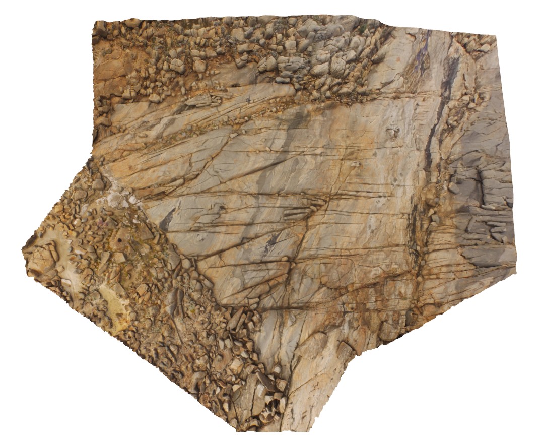
aerial view of granitic rocks with mafic pods intruded by granodiorite at 'The Gap, Albany, W.A. |
50.00 |
-35.11831000000 |
117.89304000000 |
-9999.000 |
granitic gneiss, granodiorite, mafic dyke, igneous intrusion |
granitic gneiss, granodiorite |
BellthorpeFSP3 Map
 |
20 |
04/12/2016 1:39 p.m. |
Full Spherical Panorama |
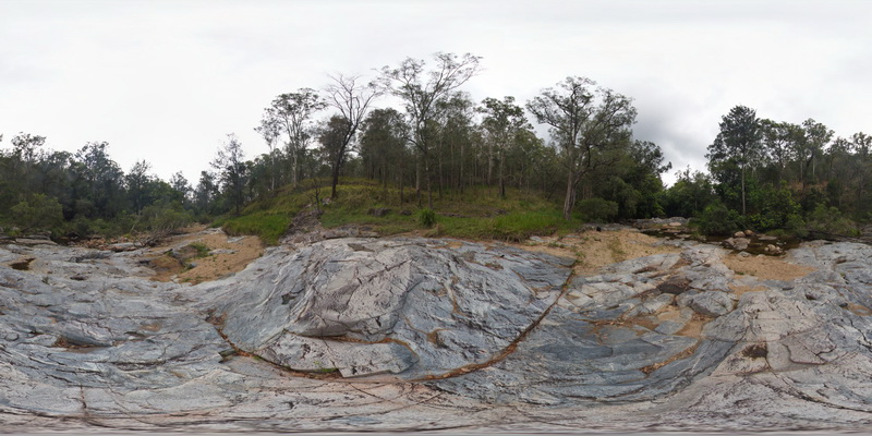
creek exposure next to Cedarvale Road, showing multiple intrusion phases and xenoliths in granite. Bellthorpe, QLD. |
100.00 |
-26.82768000000 |
152.62267000000 |
-9999.000 |
igneous intrusion, intrusive contact, xenolith |
granite |
BellthorpeFSP2 Map
 |
20 |
04/12/2016 1:35 p.m. |
Full Spherical Panorama |
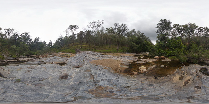
creek exposure next to Cedarvale Road, showing multiple intrusion phases and xenoliths in granite. Bellthorpe, QLD. |
100.00 |
-26.82766000000 |
152.62268000000 |
-9999.000 |
intrusion, xenolith, granite |
granite |
BellthorpeFSP1 Map
 |
20 |
04/12/2016 1:43 p.m. |
Full Spherical Panorama |
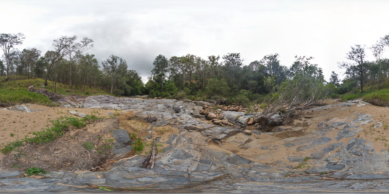
creek exposure next to Cedarvale Road, showing multiple intrusion phases and xenoliths in granite. Bellthorpe, QLD. |
100.00 |
-26.82772000000 |
152.62267000000 |
-9999.000 |
xenolith, igneous contact, intrusion |
granite |
SmokyCapeUAV1 Map
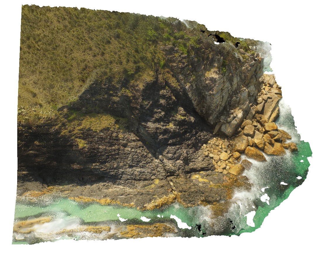 |
20 |
04/13/2016 1:19 p.m. |
3D UAV photogrammetric model |
Granite contact - possible faulted, between the granite and host deformed Kempsey Beds. Smoky Cape. N.S.W. |
100.00 |
-30.89900000000 |
153.08300000000 |
-9999.000 |
contact, fault, fold, structure |
monzogranite, sandstone |
OatlandsUAV1 Map
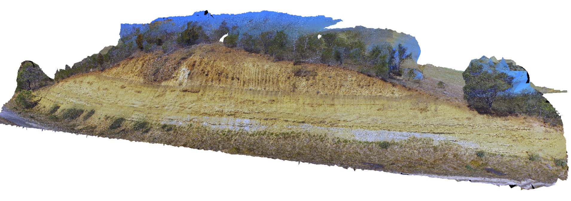 |
20 |
04/04/2016 3:03 p.m. |
3D UAV photogrammetric model |
unconformity, showing Triassic Sediments overlain by younger, unconsolidated sediments. Oatlands, Tasmania. |
20.00 |
-42.42698000000 |
147.25957000000 |
-9999.000 |
unconformity |
sandstone, talus |
BluestoneUAV5 Map
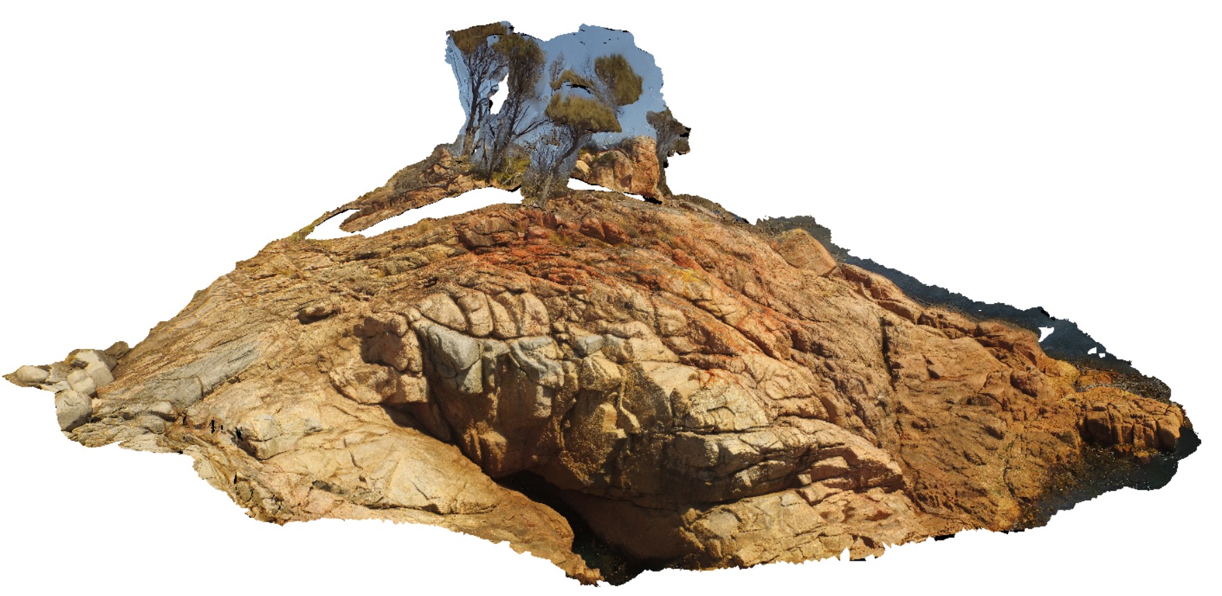 |
20 |
01/01/9999 midnight |
3D UAV photogrammetric model |
detailed view of granite / granodiorite contact and UST textures. Bluestone Bay, Freycinet. Tasmania. |
50.00 |
-42.10329300000 |
148.33594700000 |
8.800 |
UST, unidirectional solidification textures, intrusive contact, geological contact |
granodiorite, granite |
BluestoneUAV4 Map
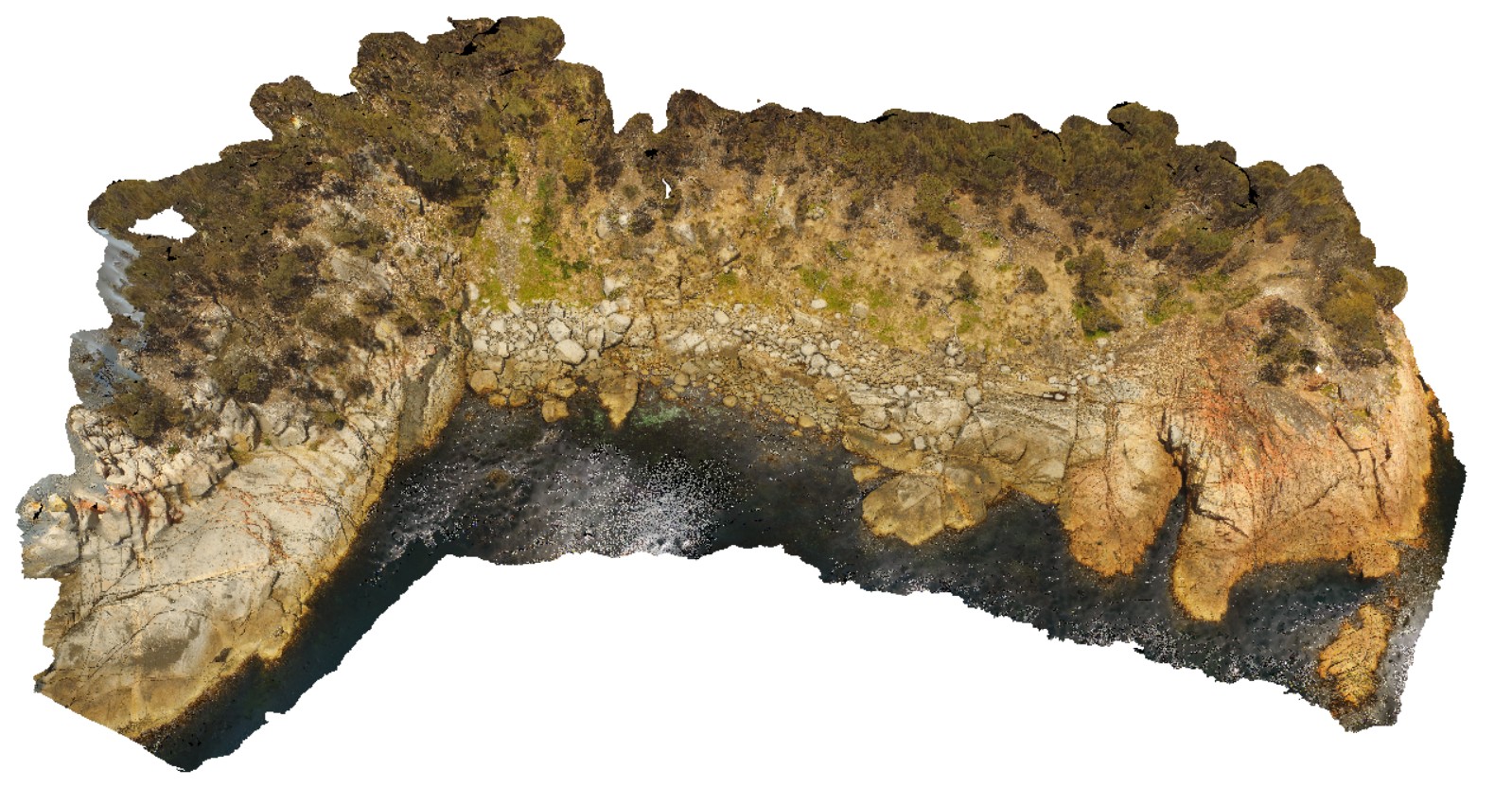 |
20 |
01/01/9999 midnight |
3D UAV photogrammetric model |
aerial view of shoreline granodiorite with cross cutting mafic dykes at Bluestone Bay, Freycinet. Tasmania. |
200.00 |
-42.10347300000 |
148.33617400000 |
29.500 |
granodiorite, mafic dyke |
granodiorite |
BluestoneUAV3 Map
 |
20 |
01/01/9999 midnight |
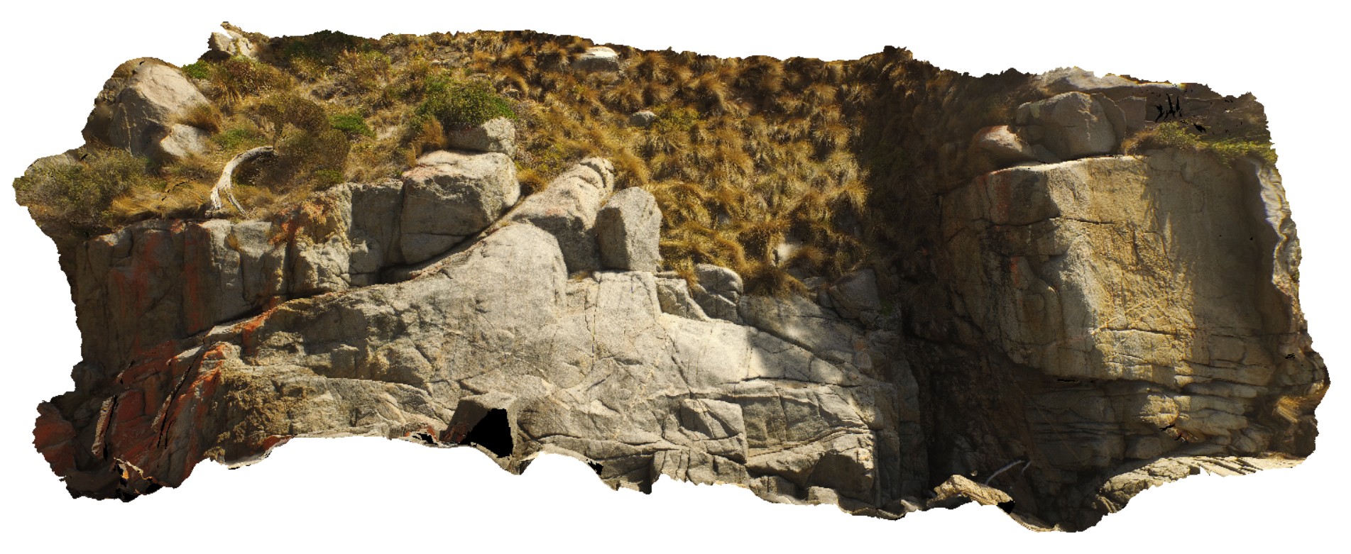
3D UAV photogrammetric model |
View of disaggregated mafic dyke, Bluestone Bay, Freycinet. Tasmania. |
50.00 |
-42.10406800000 |
148.33204000000 |
5.200 |
disaggregated, mafic dyke |
granodiorite, mafic |
BluestoneUAV2 Map
 |
20 |
01/01/9999 midnight |
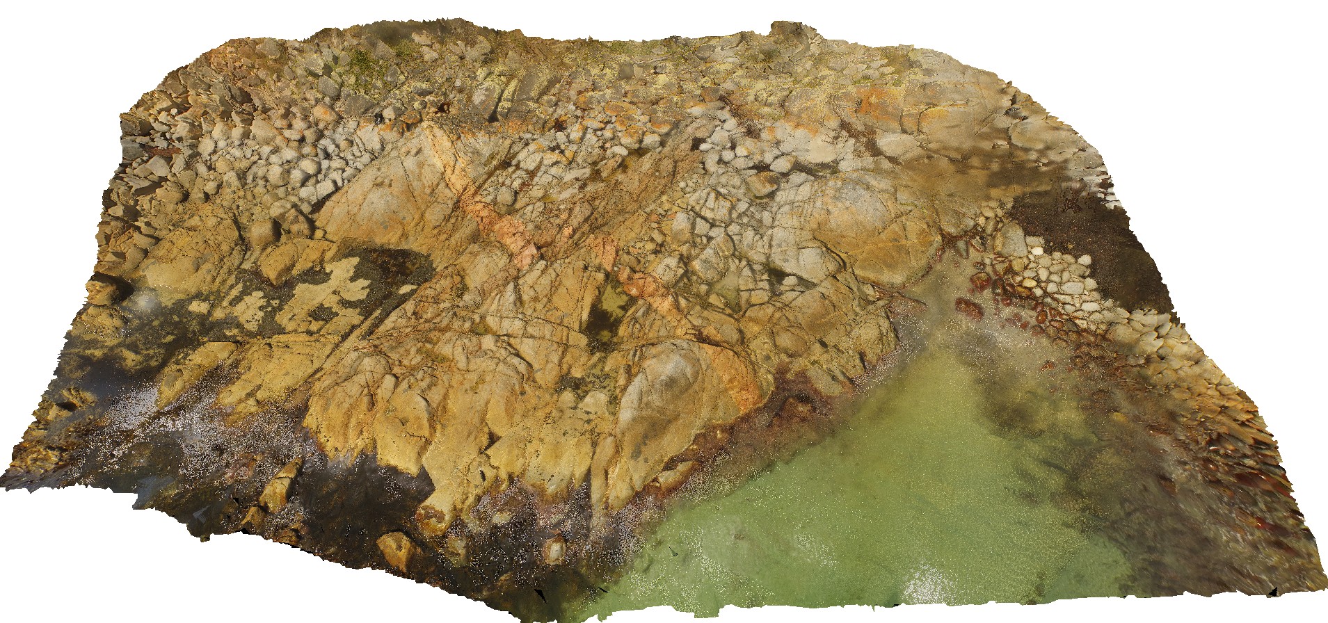
3D UAV photogrammetric model |
detailed view of granodiorite and dykes at Bluestone Bay, Freycinet. Tasmania. |
200.00 |
-42.10548900000 |
148.33362100000 |
7.600 |
granite, dyke, intrusive contact |
granodiorite, aplite |
BluestoneUAV1 Map
 |
20 |
01/01/9999 midnight |
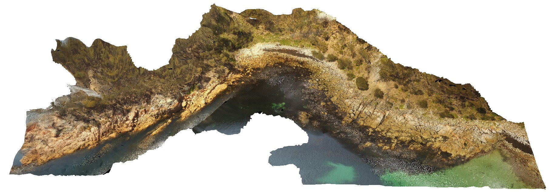
3D UAV photogrammetric model |
aerial view of Bluestone Bay granodiorite shore exposure, Freycinet. Tasmania. |
200.00 |
-42.10529100000 |
148.33442900000 |
24.700 |
granite |
granodiorite |
GordonRdUAV1 Map
 |
20 |
02/23/2016 9:18 a.m. |
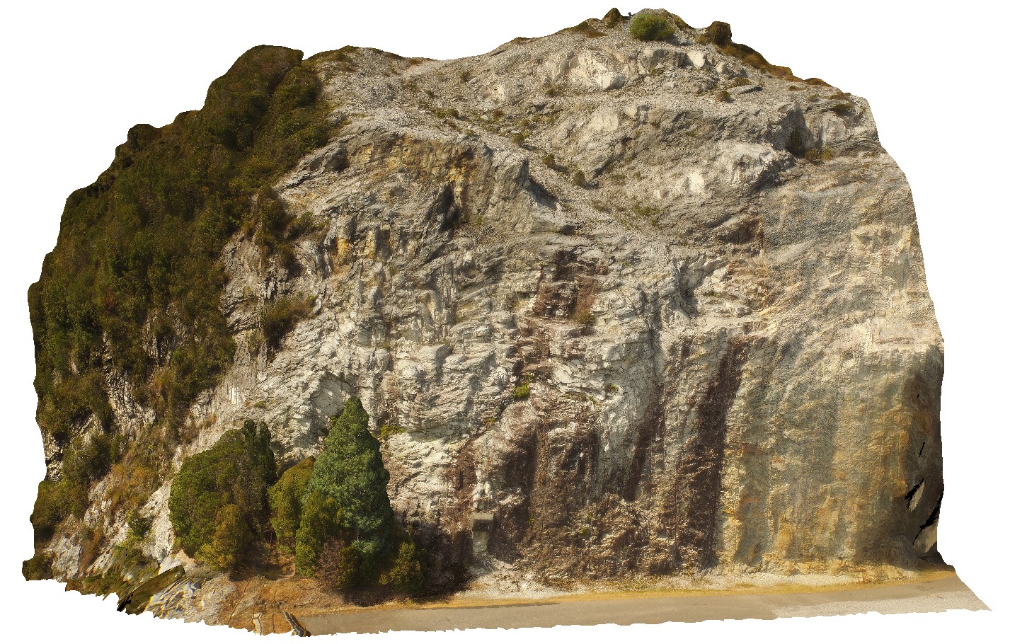
3D UAV photogrammetric model |
view of polyharmonic folding quartzite and phyllite beds, Gordon Dam Road, Tasmania. |
6.00 |
-42.81057000000 |
146.09669000000 |
-9999.000 |
polyharmonic folding, quartzite, deformation |
phyllite |
GordonDam3 Map
 |
20 |
02/29/2016 9:51 a.m. |
3D terrestrial photogrammetric model |
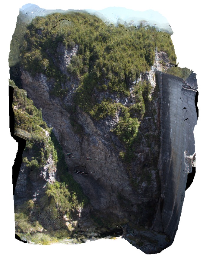
view of northern abutment of the Gordon Dam, showing folded and deformed beds of quartzite and phyllite. Tasmania. |
200.00 |
-42.73044300000 |
145.97555560000 |
-9999.000 |
fold, quartzite, deformation |
quartzite |
GordonDam2 Map
 |
20 |
04/12/2016 9:02 a.m. |
3D terrestrial photogrammetric model |
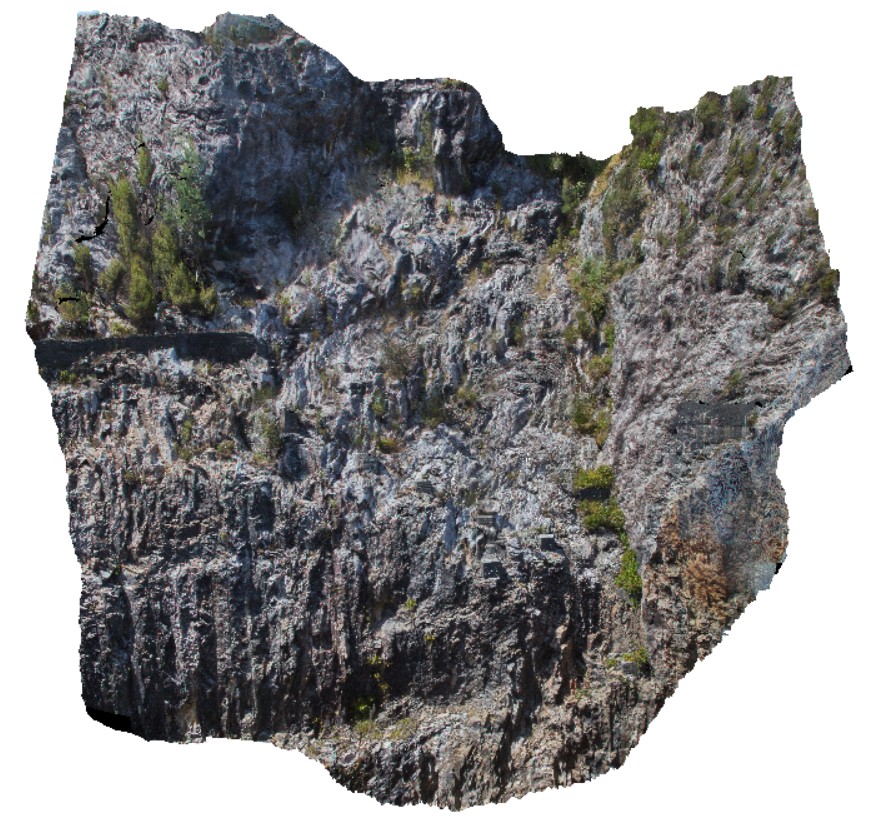
view of upstream part of the southern abutment of the Gordon Dam, showing folded and deformed quartzites and phyllites. Gordon Dam, Tasmania. |
20.00 |
-42.73044300000 |
145.97555560000 |
-9999.000 |
folding, structure, quartzite |
quartzite |
GordonDam1 Map
 |
20 |
04/07/2016 12:19 p.m. |
3D terrestrial photogrammetric model |
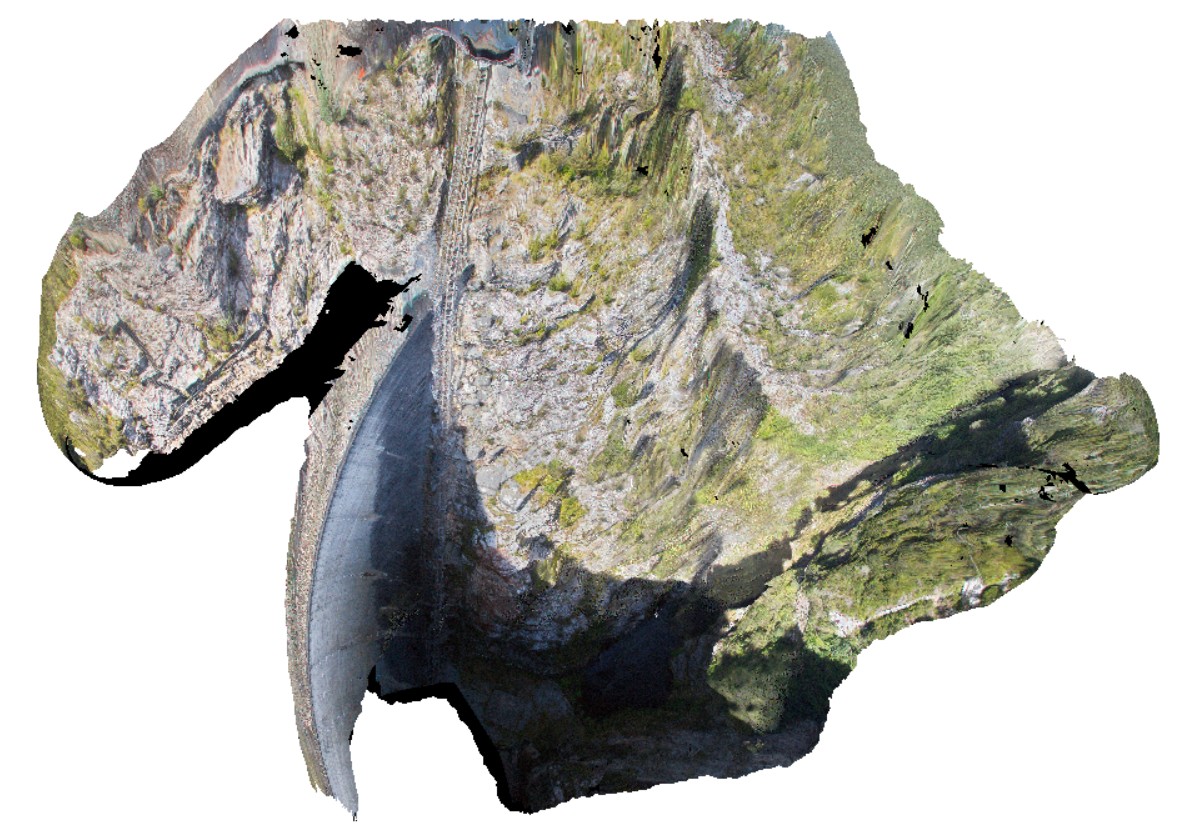
view of deformed and folded quartzite in the southern abutment of the Gordon Dam, Tasmania. |
200.00 |
-42.73044300000 |
145.97555560000 |
-9999.000 |
folded, quartzite, structure |
quartzite |
GordonDamUAV2 Map
 |
20 |
02/23/2016 9:14 a.m. |
3D UAV photogrammetric model |
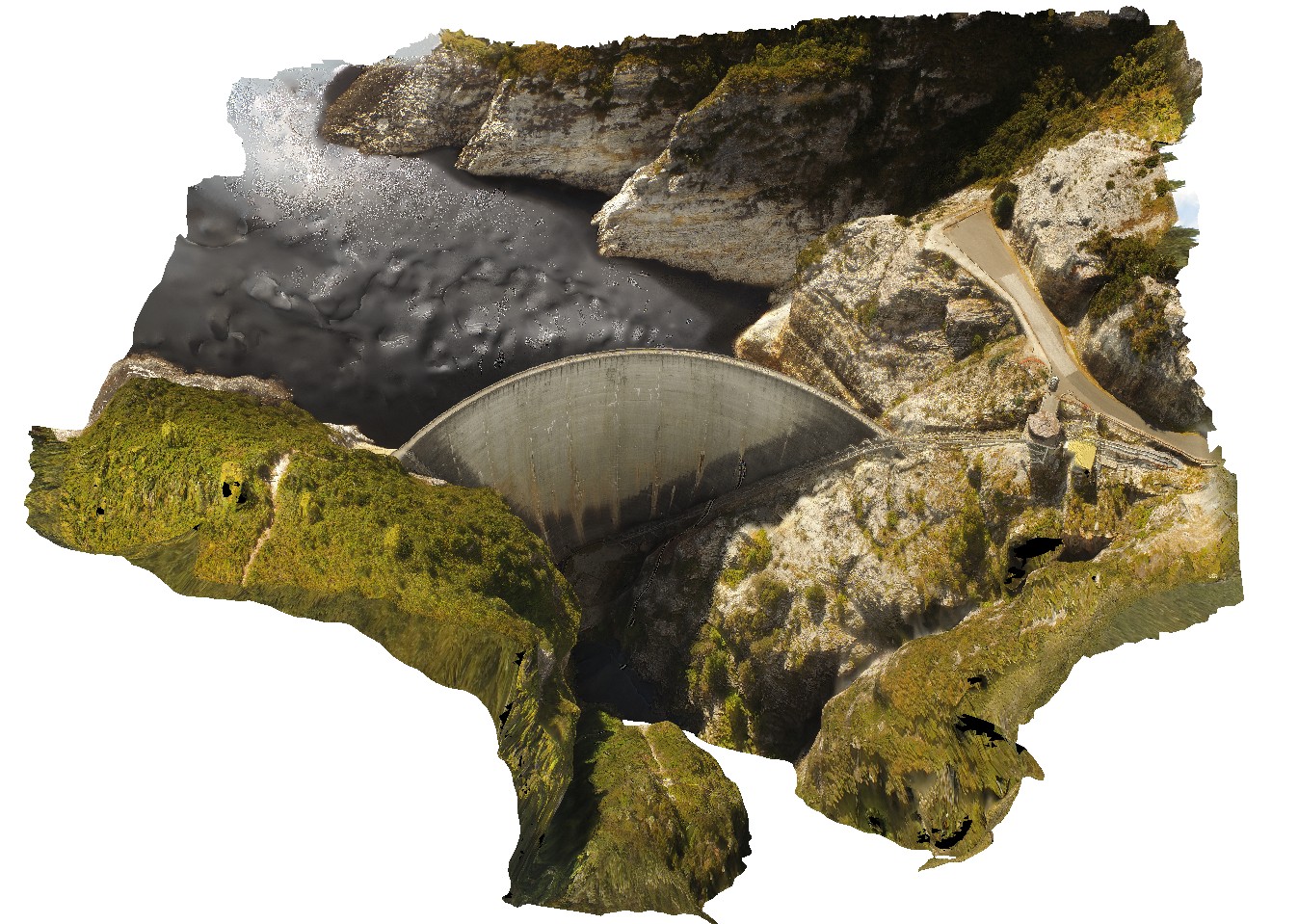
Aerial view of the Gordon Dam, showing folded quartzite and phyllite metasediments outcrop. Gordon Dam. Tasmania. |
200.00 |
-42.73044300000 |
145.97555560000 |
-9999.000 |
dam, quartzite, phyllite, structure |
quartzite |
GordonDamUAV1 Map
 |
20 |
02/23/2016 9:14 a.m. |
3D UAV photogrammetric model |
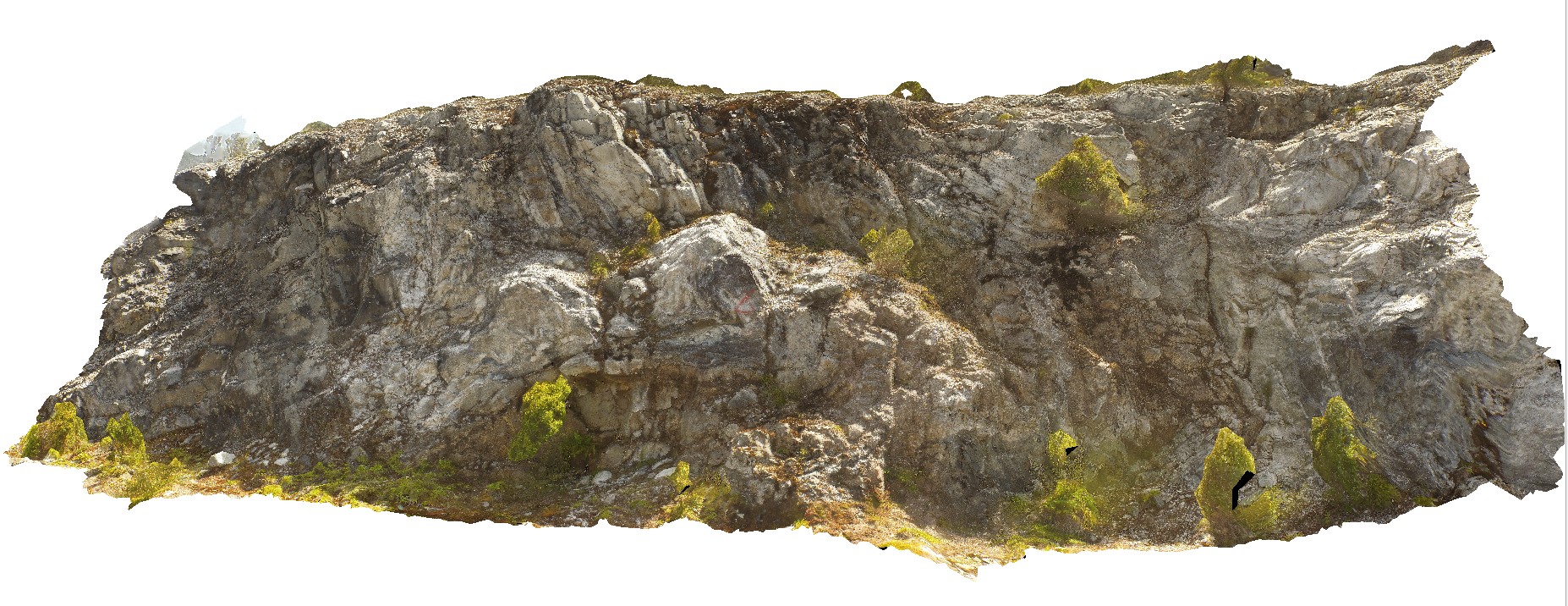
folded quartzite and phyllite in south abutment of Gordon Dam. Gordon Dam Road, near Gordon Dam. Tasmania. |
200.00 |
-42.73044300000 |
145.97555560000 |
-9999.000 |
folding, structure, phyllite, quartzite |
quartzite |
 AusGeol.org