PingandyUAV1 Map
 |
0 |
05/28/2016 noon |
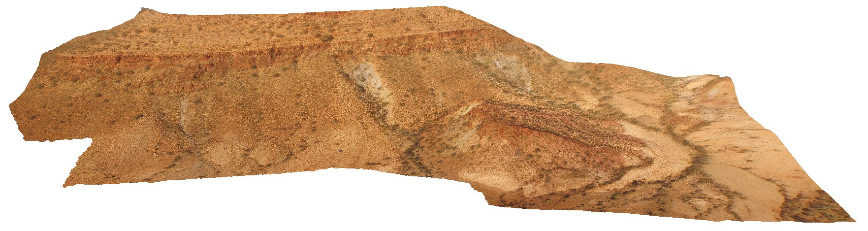
3D UAV photogrammetric model |
aerial view of outcrop unconformity between the Edmund Basin and the Ashburton Formation. 'Tchintaby Ridge'. Ashburton Downs - Meekatharra Road, W.A. |
100.00 |
-23.98458850000 |
117.92190660000 |
-9999.000 |
unconformity |
sandstone, sandstone |
PingandyUAV2 Map
 |
0 |
05/28/2016 noon |
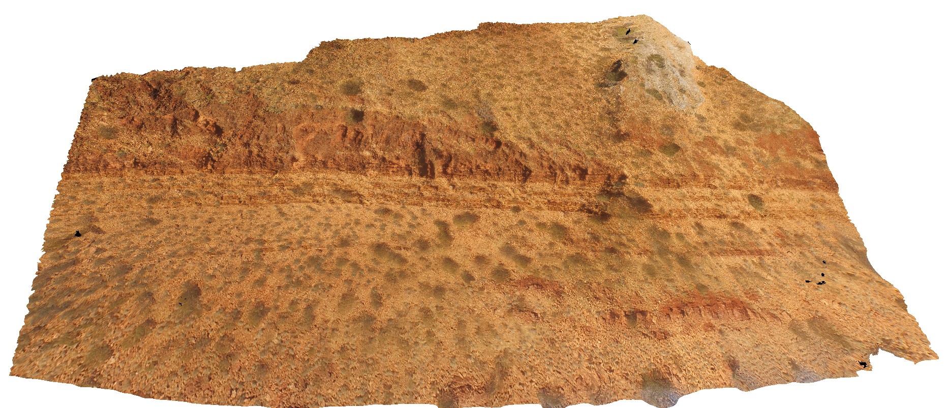
3D UAV photogrammetric model |
detailed aerial view of outcrop unconformity between the Edmund Basin and the Ashburton Formation. 'Tchintaby Ridge'. Ashburton Downs - Meekatharra Road, W.A. |
50.00 |
-23.98536700000 |
117.92202800000 |
-9999.000 |
Tchintaby Ridge unconformity, Ashburton Formation, Edmund Basin |
sandstone, sandstone |
PurnululuUAV1 Map
 |
0 |
06/12/2016 noon |
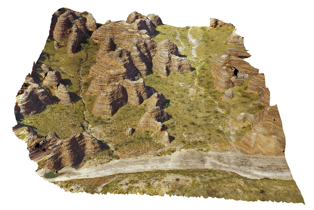
3D UAV photogrammetric model |
aerial view of 'bee Hive' formations at the Bungle Bungles. Purnululu National Park, W.A. |
50.00 |
-17.48400500000 |
128.38151400000 |
-9999.000 |
Bee Hive, Bungle Bungles, weathering formation, sandstone |
sandstone |
PurnululuUAV2 Map
 |
0 |
06/12/2016 noon |
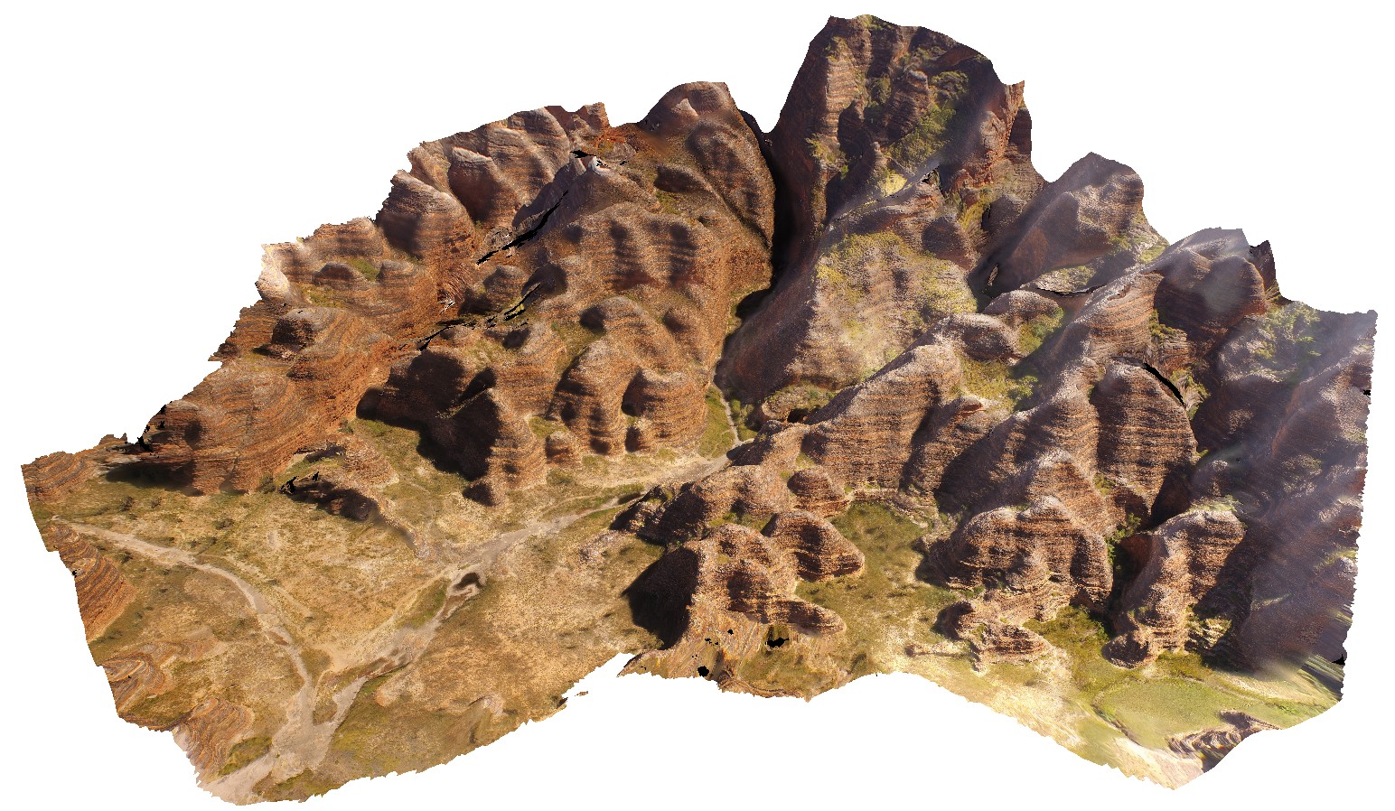
3D UAV photogrammetric model |
aerial view of 'bee Hive' formations at the Bungle Bungles. Purnululu National Park, W.A. |
50.00 |
-17.48472000000 |
128.37810600000 |
-9999.000 |
weathering feature, Bungle Bungles, Purnululu |
sandstone |
PurnululuUAV3 Map
 |
0 |
06/12/2016 noon |
3D UAV photogrammetric model |
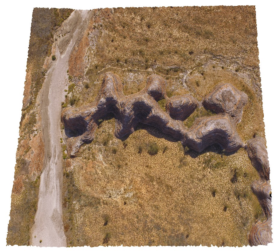
aerial view of 'C' group of 'bee Hive' formations at the Bungle Bungles, near Piccaninny Creek. Purnululu National Park, W.A. |
50.00 |
-17.49130800000 |
128.38355900000 |
-9999.000 |
Bee Hive, weathering features, sandstone, Bungle Bungles |
sandstone |
PurnululuUAV4 Map
 |
0 |
06/12/2016 noon |
3D UAV photogrammetric model |
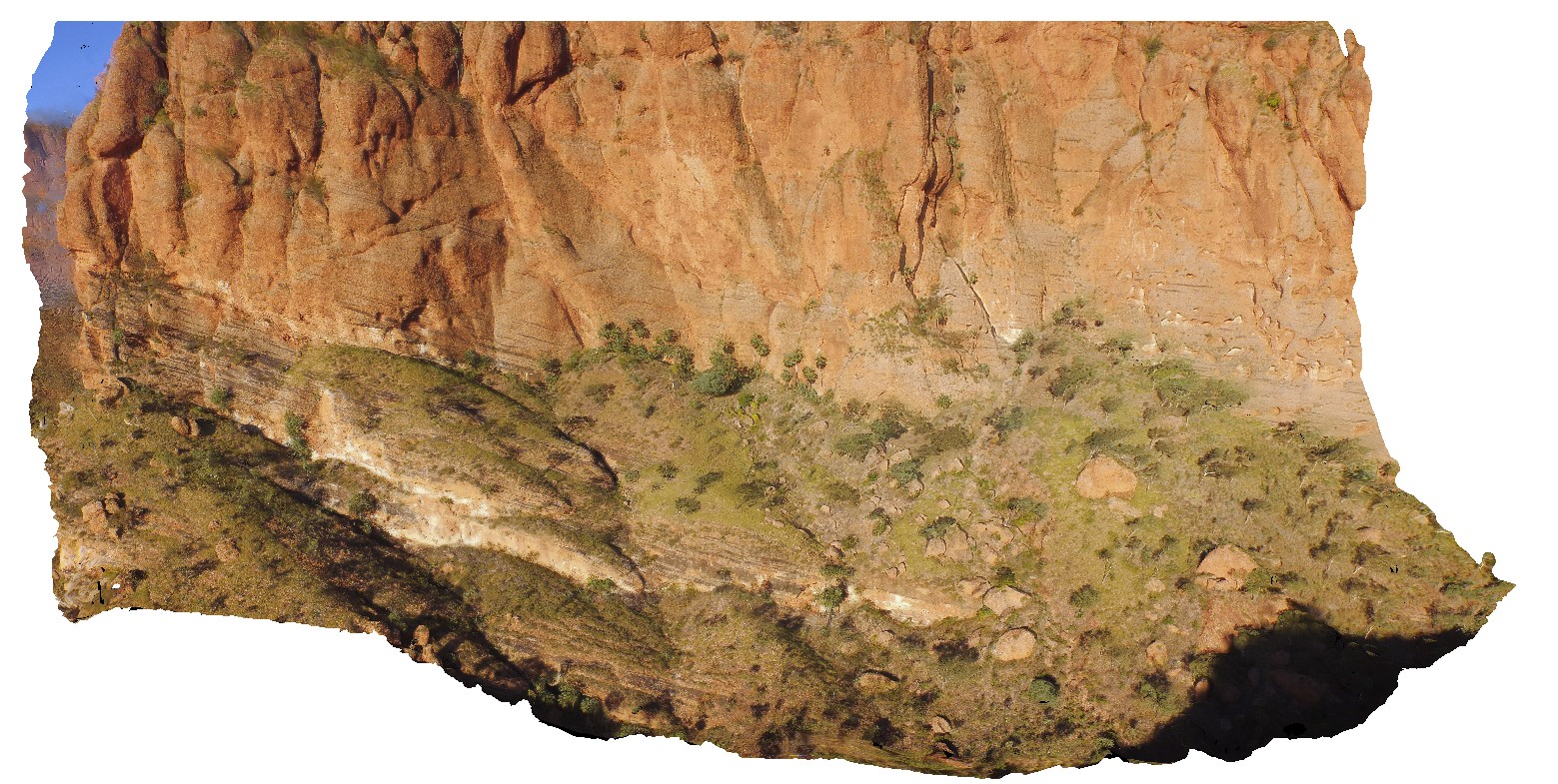
aerial view of the start of the Echidna Chasm trail, showing cliff of Glass Hill Sandstone. Purnululu National Park, W.A. |
50.00 |
-17.32394600000 |
128.41405700000 |
-9999.000 |
Glass Hill Sandstone, sandstone, Bungle Bungles |
sandstone |
PurnululuUAV5 Map
 |
0 |
06/12/2016 noon |
3D UAV photogrammetric model |
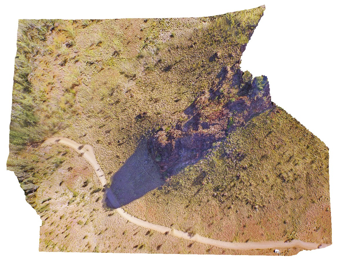
aerial view of knife-edge ridge in with carbonate cemented breccias. Purnululu National Park, W.A. |
50.00 |
-17.41007000000 |
128.20453000000 |
-9999.000 |
weathering feature, knife-edge ridge, carbonate, Bungle Bungles, Purnululu National Park |
dolostone |
REYNUAV1 Map
 |
0 |
07/24/2016 12:20 p.m. |
3D UAV photogrammetric model |
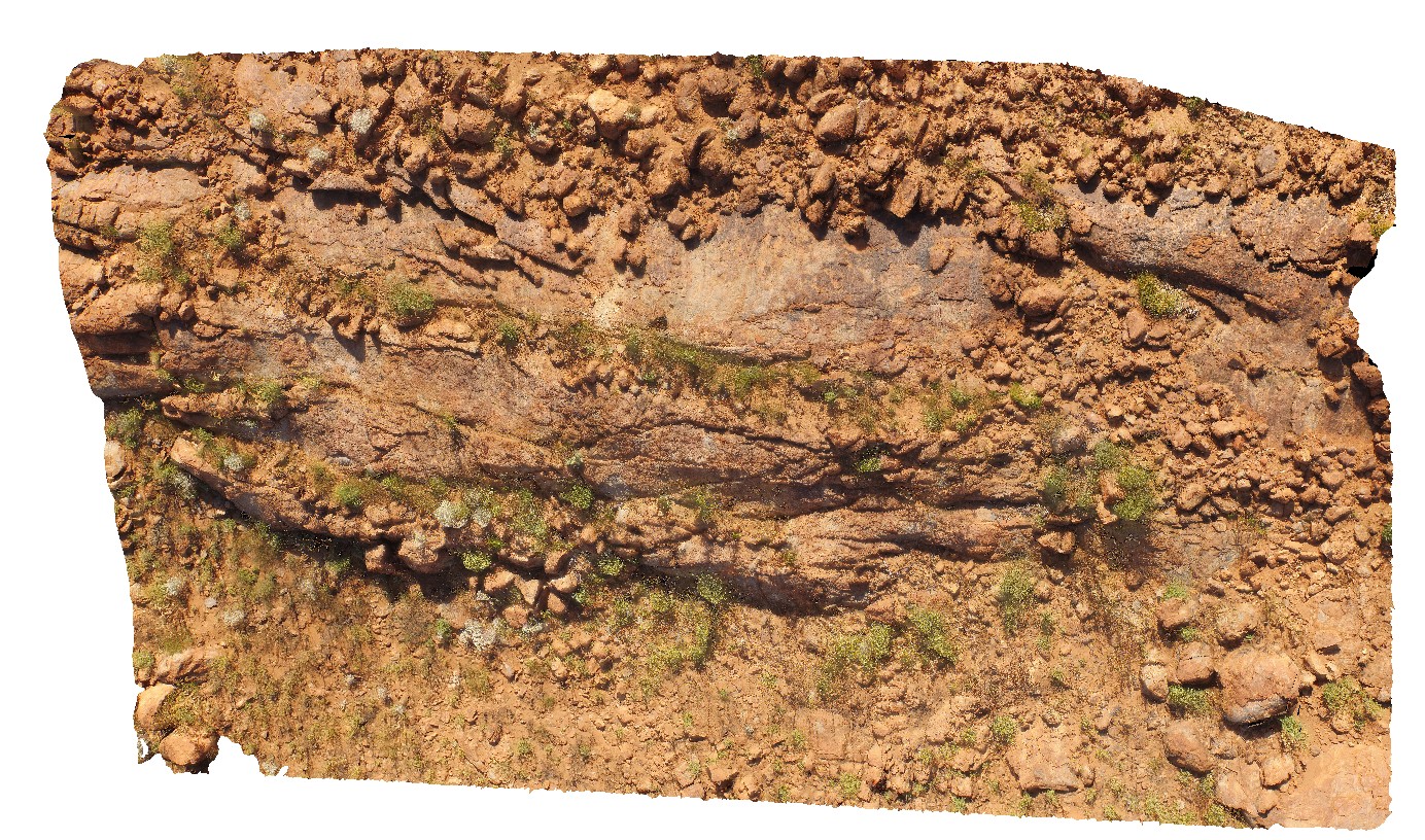
aerial view of folded migmatitic ortho gneiss with parasitic, isoclinal folds. North West side of Mount Boothby, Reynolds Range. Next to Stuart Highway. N.T. |
20.00 |
-22.57896100000 |
133.29551700000 |
848.040 |
metamorphic, gneiss, fold, structure |
gneiss, gneiss |
REYNUAV2 Map
 |
0 |
07/24/2016 2:07 p.m. |
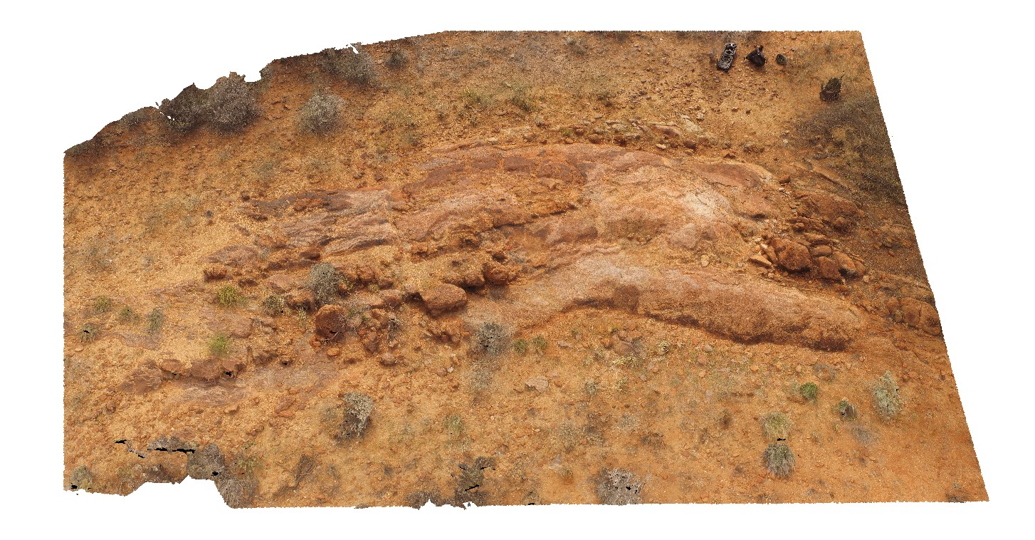
3D UAV photogrammetric model |
aerial view of parasitic folds in mixed mafic-felsic orthogneiss. North West side of Mount Boothby, Reynolds Range. Next to Stuart Highway. N.T. |
50.00 |
-22.57375700000 |
133.30383400000 |
688.246 |
orthogneiss, metamorphic |
orthogneiss |
TableHillUAV1 Map
 |
0 |
05/28/2016 noon |
3D UAV photogrammetric model |
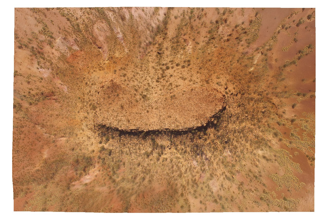
aerial view of a Mesa, capped by calcrete - Tertiary land surface. Ashburton Downs - Meekatharra Road, W.A. |
100.00 |
-23.64748200000 |
117.45549200000 |
-9999.000 |
mesa, tertiary land surface |
sediments, calcrete |
VictoriaDownsUAV1 Map
 |
0 |
06/19/2016 noon |
3D UAV photogrammetric model |
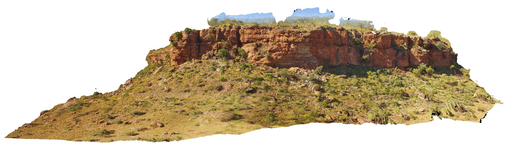
aerial view through Jasper Gorge and sandstone cliff. Buchanan Highway, N.T. |
0.00 |
-16.02912000000 |
130.73447000000 |
-9999.000 |
sandstone, cliff, Jasper Gorge |
sandstone |
WindjanaUAV1 Map
 |
0 |
06/05/2016 noon |
3D UAV photogrammetric model |
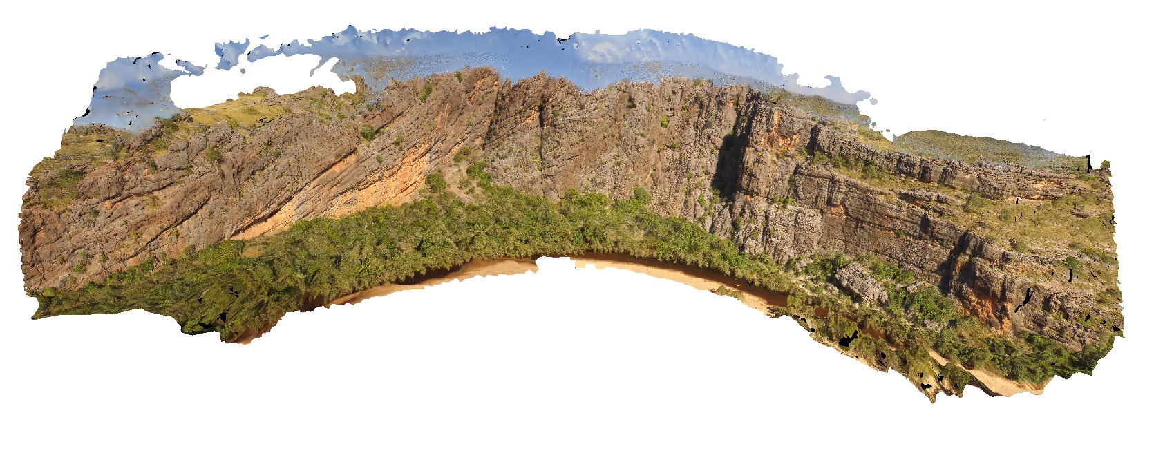
view of the ~400m 'Classic Face' of the reef facies at Windana Gorge, showing fore-reef, reefal-slope and platform facies and also, reef front and other reef facies. Windjana Gorge, W.A. |
400.00 |
-17.41218800000 |
124.96265530000 |
-9999.000 |
Reef facies, limestone, Windgana Gorge, sedimentology |
limestone, limestone |
YinnetharraUAV1 Map
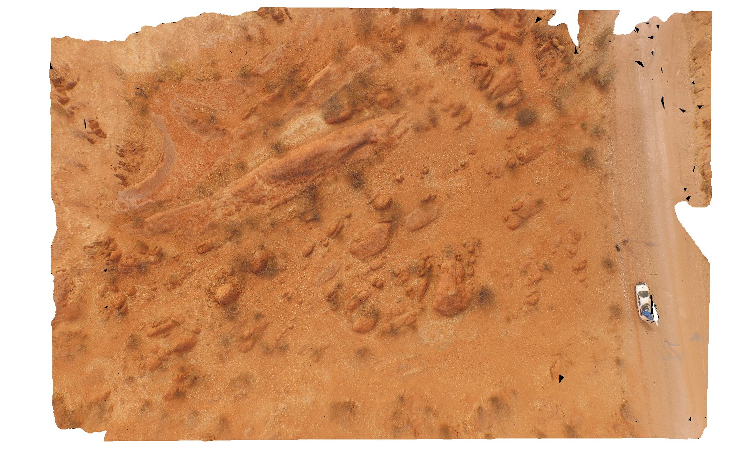 |
20 |
05/27/2016 noon |
3D UAV photogrammetric model |
aerial view of typical outcrop of rounded granitic tors. North of Thirty Three River, Cobra-Dairy Creek Road, W.A. |
50.00 |
-24.51352090000 |
116.24685660000 |
-9999.000 |
granite, outcrop, granite tor |
granite |
MtGippsUAV1 Map
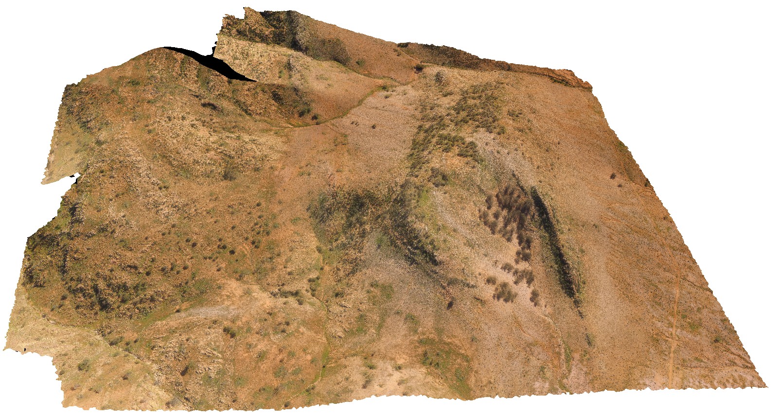 |
0 |
06/27/2016 noon |
3D UAV photogrammetric model |
aerial view of Adeladiean Contact. Near Corona Road, Mount Gipps Station. Broken Hill. N.S.W. |
200.00 |
-31.61151600000 |
141.52838700000 |
-9999.000 |
geological unconformity |
metasediments |
MtGippsUAV2 Map
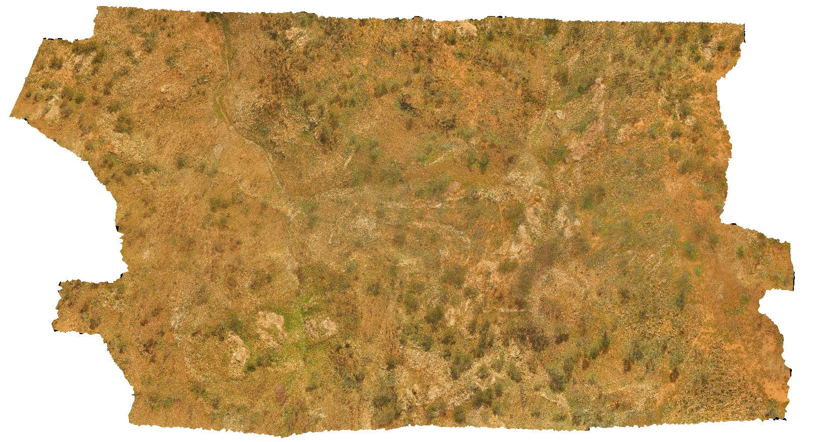 |
50 |
06/27/2016 noon |
3D UAV photogrammetric model |
metasediments, Mount Gipps, N.S.W. |
470.00 |
-31.61700110000 |
141.50016650000 |
-9999.000 |
metasediments, structure, metamorphic |
metasediments |
MtGippsUAV3 Map
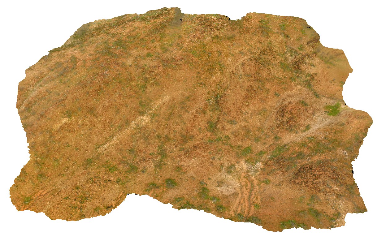 |
50 |
06/27/2016 noon |
3D UAV photogrammetric model |
metasediments, Mount Gipps, N.S.W. |
420.00 |
-31.61280890000 |
141.49239520000 |
-9999.000 |
metasediments, metamorphic |
metasediments |
KakaduUAV1 Map
 |
20 |
01/01/9999 midnight |
3D UAV photogrammetric model |
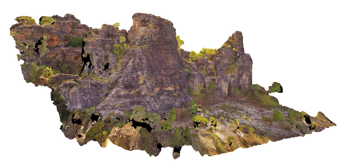
270 degree view of tall (~30m) sandstone tower with shallowly dipping cross beds and planar beds. Bardedjilidji Walk. Kakadu National Park. N.T. |
40.00 |
-12.43749000000 |
132.96887000000 |
-9999.000 |
tower, sandstone, cross bedding, weathering feature |
sandstone |
KakaduUAV2 Map
 |
20 |
01/01/9999 midnight |
3D UAV photogrammetric model |
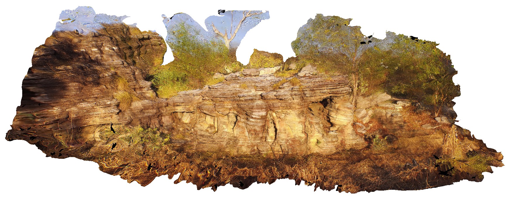
aerial view of small cliff exposure, showing gently dipping cross beds, truncated by planar bedded sandstone. Bardedjilidji Walk. Kakadu National Park. N.T. |
10.00 |
-12.43685000000 |
132.97076000000 |
-9999.000 |
cross bedding, sandstone, sedimentology |
sandstone |
DudleyUAV1 Map
 |
20 |
01/01/9999 midnight |
3D UAV photogrammetric model |
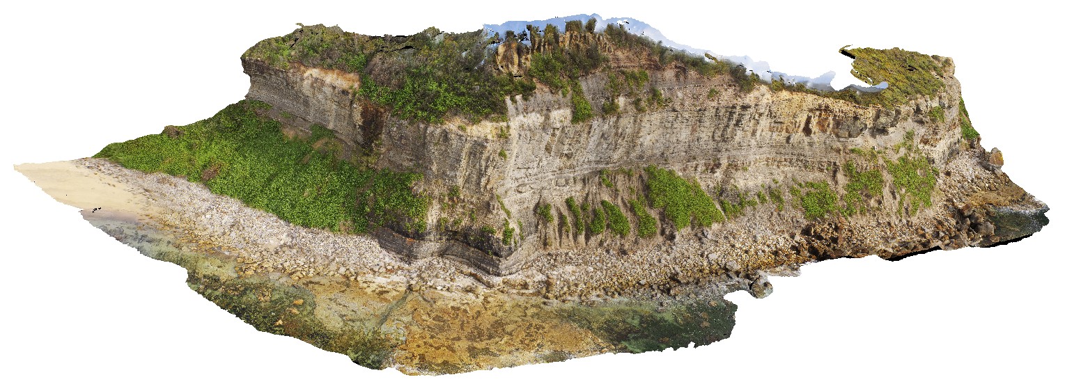
aerial overview of the Dudley outcrop, including Victoria's Tunnel Coal Seam. Dudley Beach, N.S.W. |
200.00 |
-32.96915300000 |
151.73652300000 |
9.600 |
Victoria's Tunnel Coal Seam, floodplain sediments, sedimentology |
sediments |
RHeadUAV1 Map
 |
0 |
01/01/9999 midnight |
3D UAV photogrammetric model |
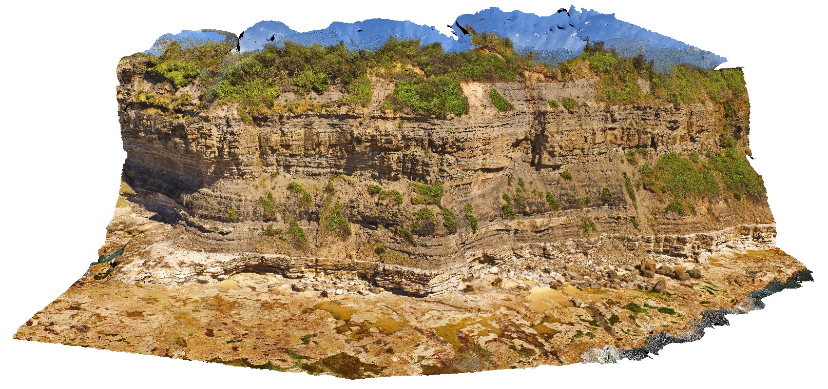
view of large cliff at Redhead, with Victoria's Tunnel Coal Seam, Nobbys Tuff and fluvial channel and floodplain sediments. Redhead, N.S.W. |
150.00 |
-33.00512000000 |
151.73041900000 |
37.800 |
fluvial sediments, floodplain sediments, sedimentology, Victoria's Tunnel Coal Seam, Nobbys Tuff |
sediments |
RHeadUAV2 Map
 |
0 |
01/01/9999 midnight |
3D UAV photogrammetric model |
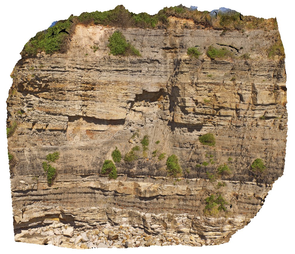
detailed view of cliff, showing channel and fluvial deposits, Nobbys Tuff and Victoria's Tunnel Coal Seam. Redhead, N.S.W. |
50.00 |
-33.00492300000 |
151.73019000000 |
22.600 |
fluvial sediments, channel sediments, Nobbys Tuff, Victoria's Tunnel Coal Seam, sedimentology |
sediments |
RHeadUAV3 Map
 |
20 |
01/01/9999 midnight |
3D UAV photogrammetric model |
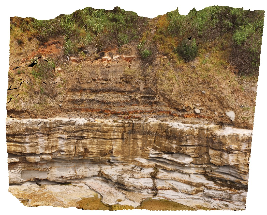
detail of bedforms in Nobbys Tuff showing wavy bedforms. Redhead, N.S.W. |
22.30 |
-33.00436700000 |
151.72998900000 |
9.000 |
wavy bedforms, tuff, sedimentology |
tuff |
RHeadUAV4 Map
 |
20 |
01/01/9999 midnight |
3D UAV photogrammetric model |
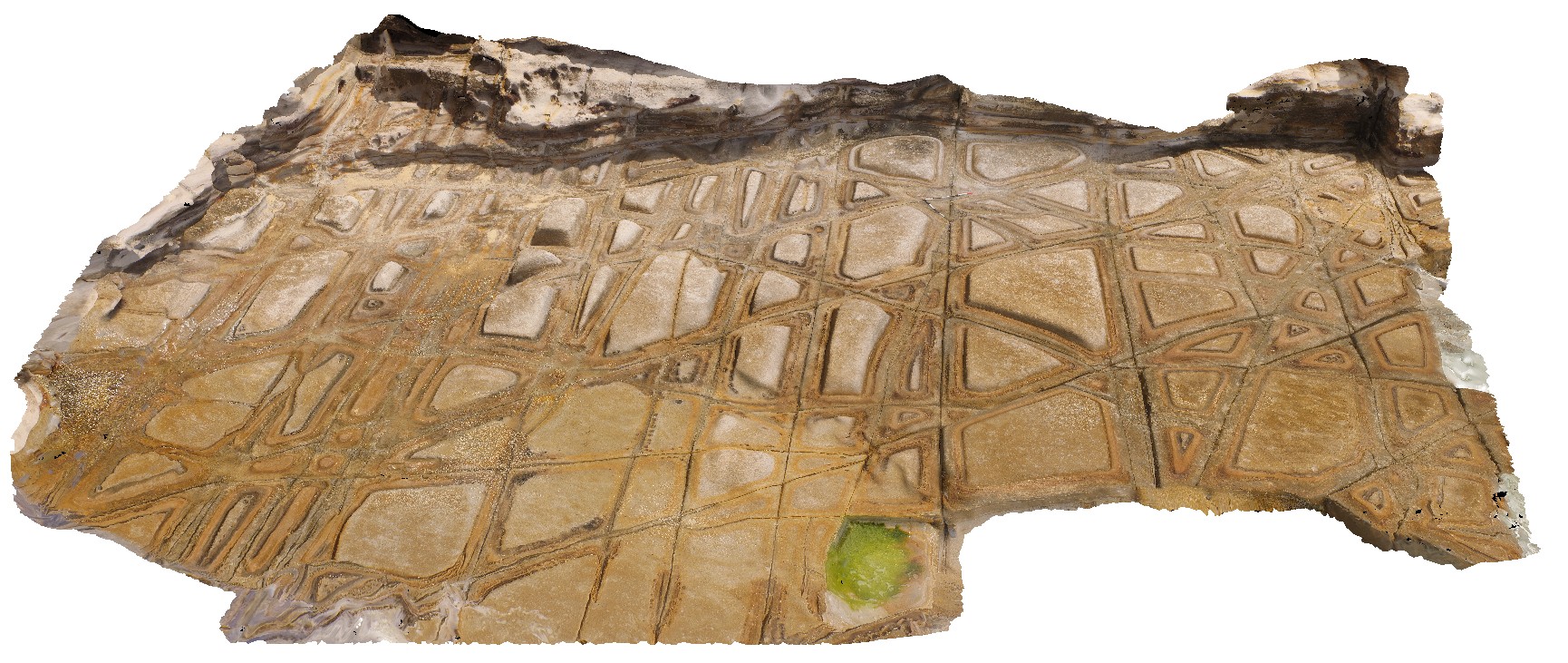
aerial view of tessellated pavement weathering pattern in Nobbys Tuff. Redhead, N.S.W. |
11.60 |
-33.00636200000 |
151.72970400000 |
4.000 |
weathering, tessellated pavement, jointing, Nobbys Tuff, Tuff |
tuff |
RHeadUAV5 Map
 |
20 |
01/01/9999 midnight |
3D UAV photogrammetric model |
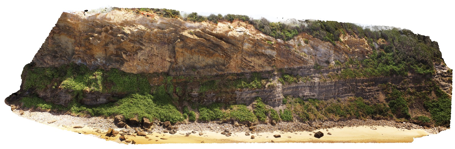
section view through Newcastle Coal Measures. View of cliff with Victoria's Tunnel Coal Seam, floodplain sediments and overlying conglomerate with steep cross bedding. Redhead, N.S.W. |
245.00 |
-33.01079900000 |
151.72764900000 |
29.000 |
conglomerate, cross bedding, coal seam, floodplain sediments, sedimentology |
sediments |
NewcastleUAV2 Map
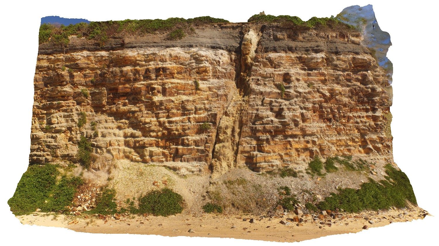 |
20 |
01/01/9999 midnight |
3D UAV photogrammetric model |
detail of dyke in Nobbys Headland, showing high to sub-vertical angle. Newcastle, N.S.W. |
35.00 |
-32.91876700000 |
151.79874000000 |
15.400 |
dyke, igneous |
igneous rock |
 AusGeol.org