Bastion1 Map
 |
5 |
01/01/9999 midnight |
3D terrestrial photogrammetric model |
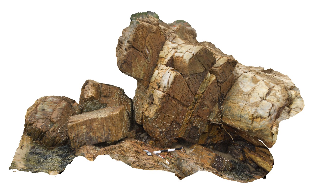
folded Mallacoota beds with axial planar cleavage development in interbedded siltstones. Mallacoota, Vic. |
4.00 |
-37.57102400000 |
149.76441200000 |
-9999.000 |
folds, turbidite, structure, cleavage |
turbidite |
Bastion2 Map
 |
5 |
01/01/9999 midnight |
3D terrestrial photogrammetric model |
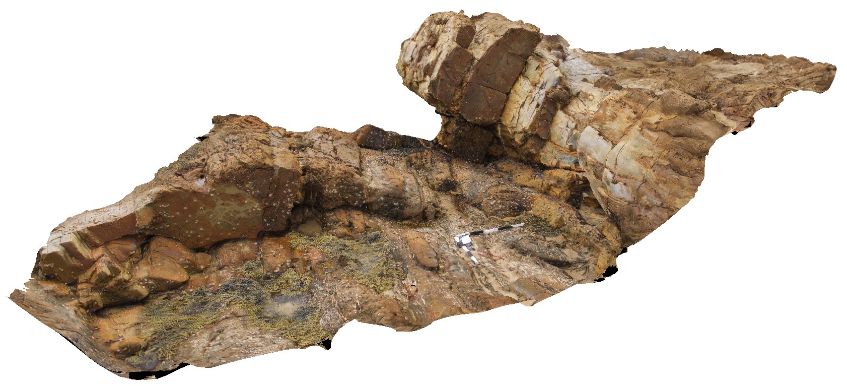
folded Mallacoota beds with axial planar cleavage development in interbedded siltstones. Mallacoota, Vic. |
5.00 |
-37.57098900000 |
149.76438800000 |
-9999.000 |
axial planar cleavage, structure, cleavage, fold |
turbidite |
Bastion3 Map
 |
5 |
01/01/9999 midnight |
3D terrestrial photogrammetric model |
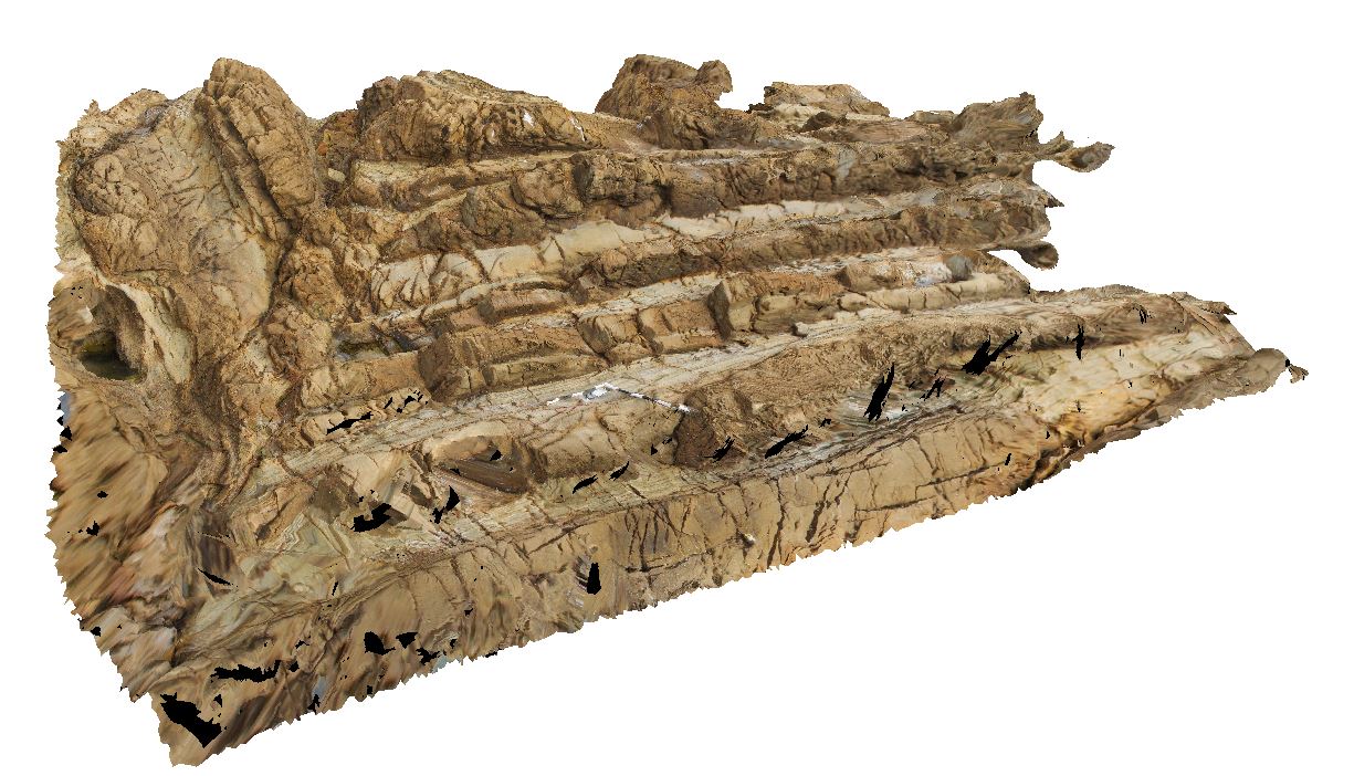
slightly inclinded simple synclinal fold in Mallacoota beds. Mallacoota, Vic. |
10.00 |
-37.57079700000 |
149.76448300000 |
-9999.000 |
fold, inclined fold, structure |
turbidite |
Bastion4 Map
 |
5 |
01/01/9999 midnight |
3D terrestrial photogrammetric model |
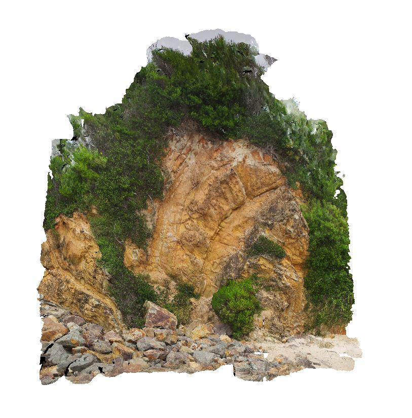
upright folds in Mallacoota beds. Mallacoota, Vic. |
15.00 |
-37.57203000000 |
149.76454000000 |
-9999.000 |
upright fold, fold, structure |
turbidite |
SecretBeach1 Map
 |
5 |
01/01/9999 midnight |
3D terrestrial photogrammetric model |
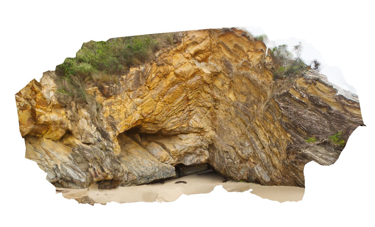
refolded folds in Mallacoota beds. Mallacoota, Vic. |
25.00 |
-37.60815400000 |
149.72156800000 |
-9999.000 |
refolded folds, fold, structure |
turbidite |
SecretBeach2 Map
 |
5 |
01/01/9999 midnight |
3D terrestrial photogrammetric model |
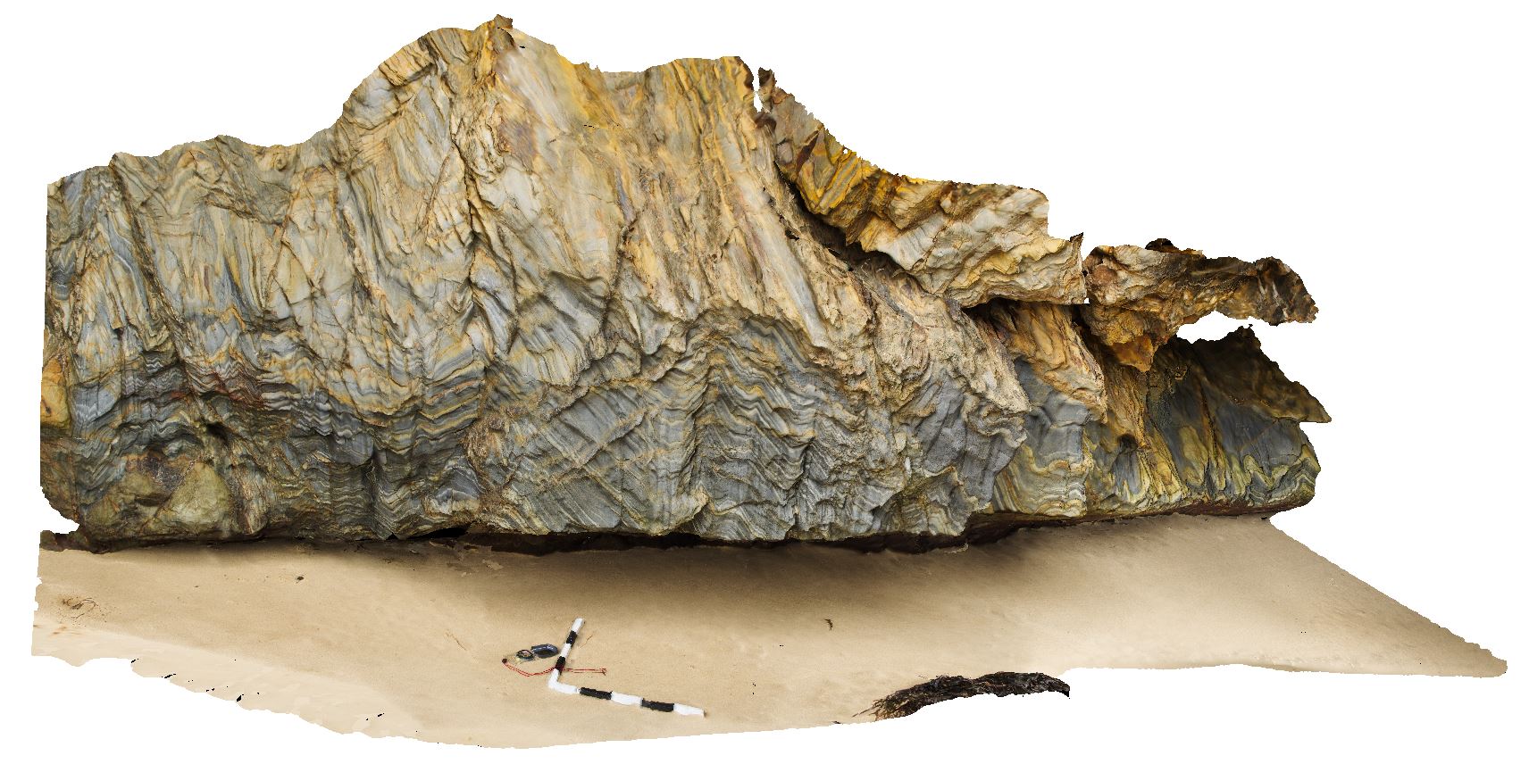
refolded folds in Mallacoota beds - S2 crenulation cleavage and F2 folds. Mallacoota, Vic. |
10.00 |
-37.60801000000 |
149.72158500000 |
-9999.000 |
cleavage, fold, structure, refolded fold |
turbidite |
SecretBeach3 Map
 |
5 |
01/01/9999 midnight |
3D terrestrial photogrammetric model |
boudinaged sandstone of Mallacoota Beds. Mallacoota, Vic. |
2.00 |
-37.60810200000 |
149.72147600000 |
-9999.000 |
boudinage, structure |
turbidite |
BetkaBeach1 Map
 |
5 |
01/01/9999 midnight |
3D terrestrial photogrammetric model |
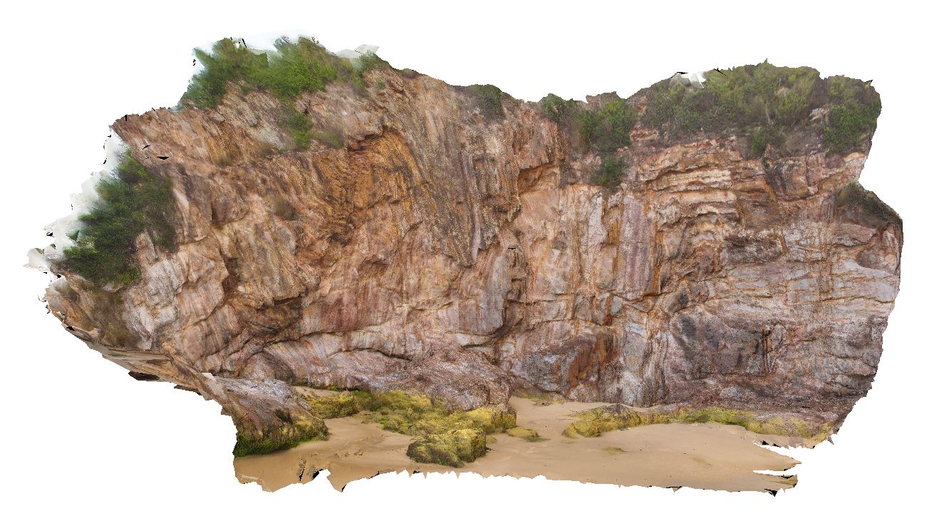
isoclinal F1 fold in laminated chert of Mallacoota Beds, evidence for D2 refolding. Mallacoota, Vic. |
25.00 |
-37.59369100000 |
149.73287500000 |
-9999.000 |
isoclinal fold, turbidite, fold, structure |
turbidite |
BluestoneUAV7 Map
 |
20 |
01/01/9999 midnight |
3D UAV photogrammetric model |
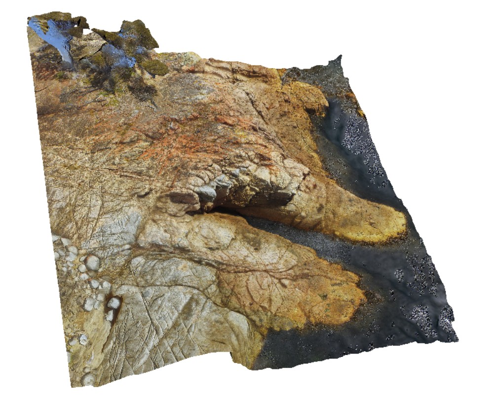
detailed aerial view of granite / granodiorite contact. Bluestone Bay, Freycinet. Tasmania. |
57.00 |
-42.10328800000 |
148.33594000000 |
10.600 |
intrusive contact, igneous intrusion, Coles Bay Granite, Bluestone Bay Granodiorite |
granite, granodiorite |
SulphurCreek4 Map
 |
5 |
01/01/9999 midnight |
3D terrestrial photogrammetric model |
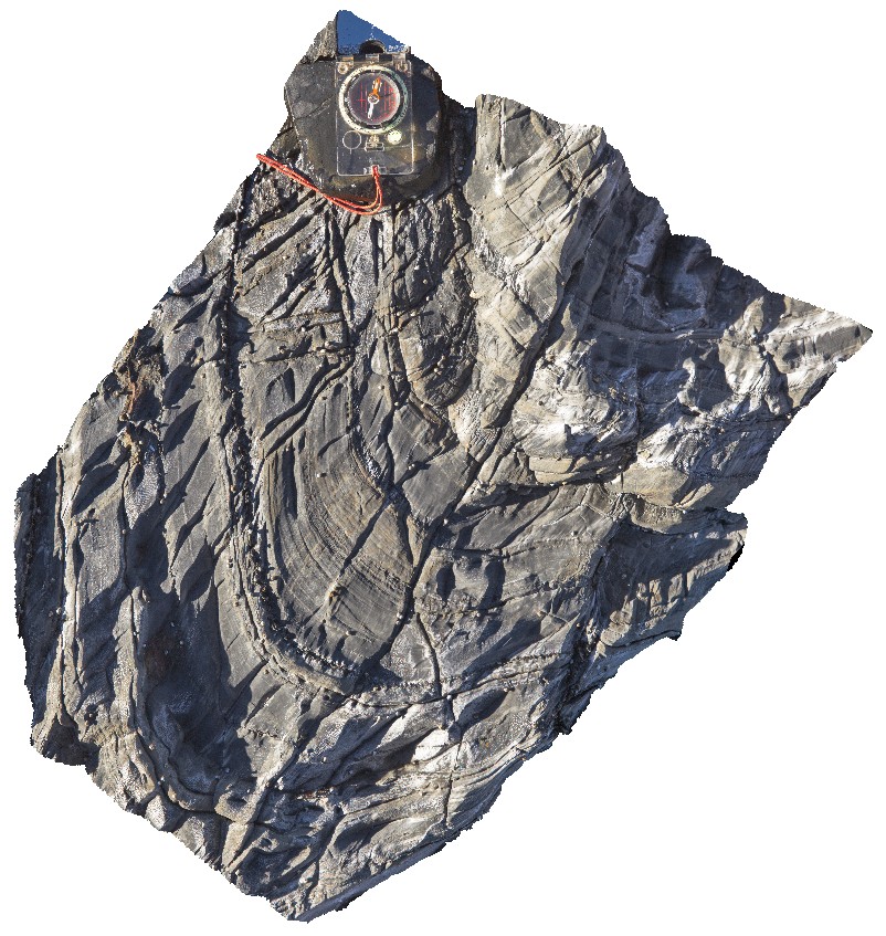
faulted contact between altered basalt and folded mudstone. Sulphur Creek, north Tas. |
4.00 |
-41.09097000000 |
146.02003000000 |
1.000 |
fault, contact, geological contact |
basalt, mudstone |
SulphurCreek5 Map
 |
5 |
01/01/9999 midnight |
3D terrestrial photogrammetric model |
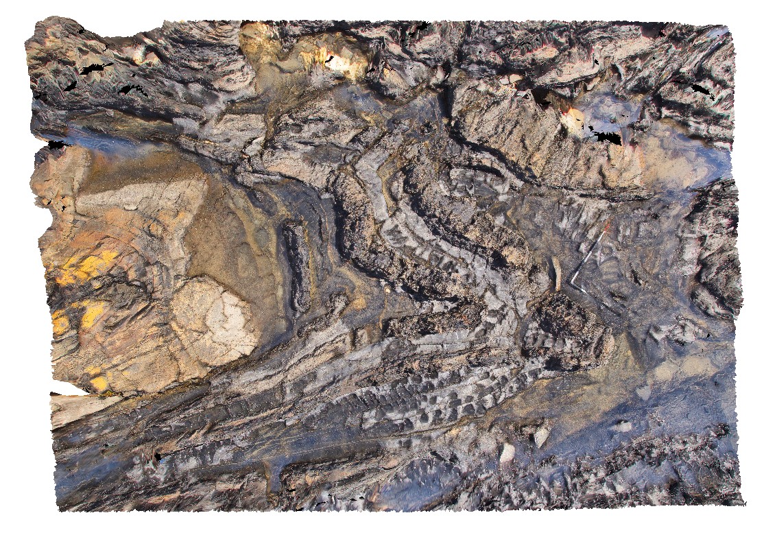
steeply plunging fold hinge in mudstone with axial planar cleavage. Sulphur Creek, north Tas. |
0.55 |
-41.09159000000 |
146.02060000000 |
1.000 |
fold hinge, fold plunge, axial planar cleavage, cleavage, structure, fold |
mudstone |
SulphurCreek6 Map
 |
5 |
01/01/9999 midnight |
3D terrestrial photogrammetric model |
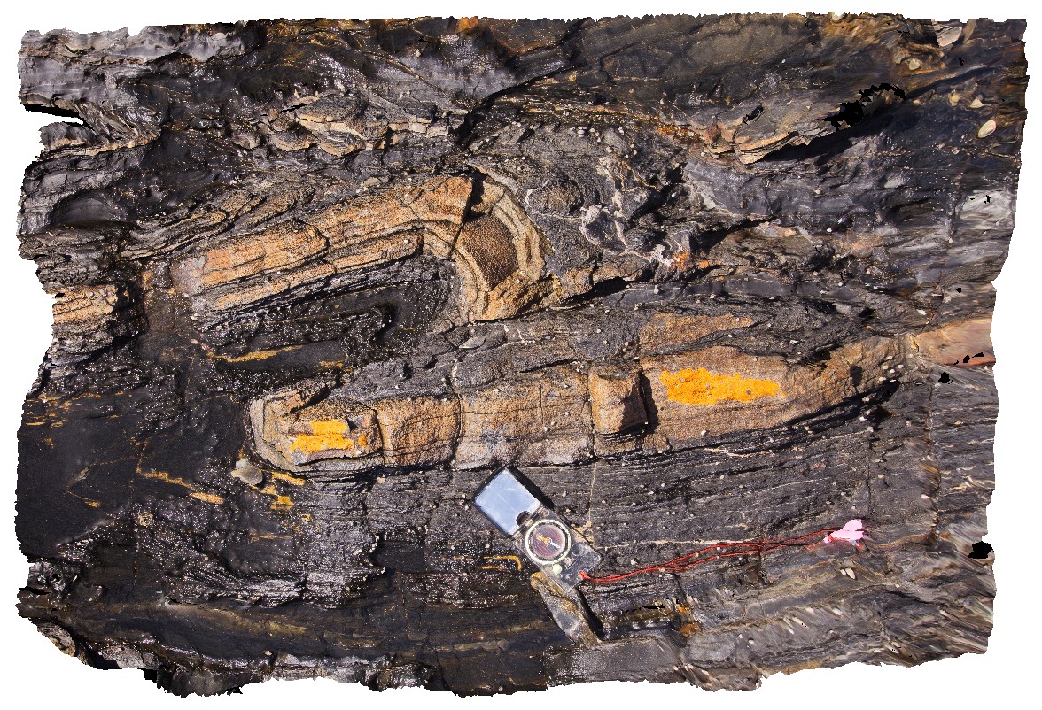
non-cylindrical folds in mudstone. Sulphur Creek, north Tas. |
5.00 |
-41.09169000000 |
146.02039000000 |
1.000 |
non-cylindrical fold, fold, structure |
mudstone |
SulphurCreek7 Map
 |
5 |
01/01/9999 midnight |
3D terrestrial photogrammetric model |
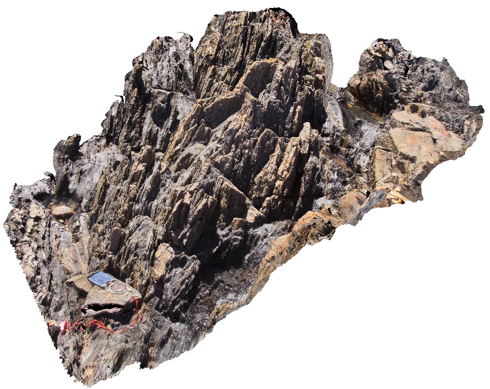
faulted, plunging parasitic fold in sandstone layer. Sulphur Creek, north Tas. |
1.00 |
-41.09143000000 |
146.02013000000 |
1.000 |
fault, parasitic fold, fold, fold plunge, structure |
sandstone |
SulphurCreek8 Map
 |
5 |
01/01/9999 midnight |
3D terrestrial photogrammetric model |
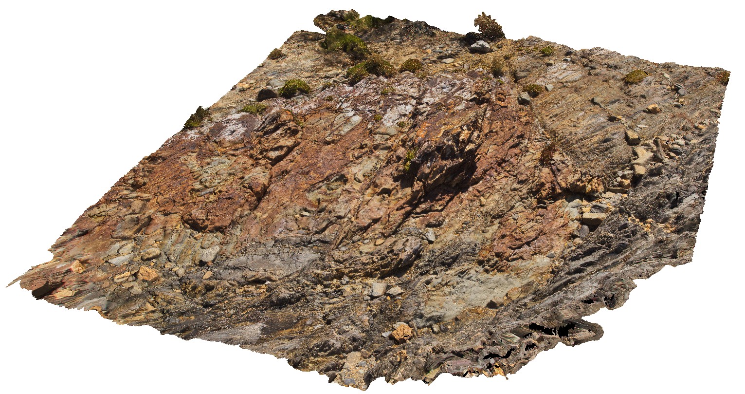
refolded tight to isoclinal fold hinge in thinly bedded sandstones and mudstones. Sulphur Creek, north Tas. |
1.40 |
-41.09142000000 |
146.02008000000 |
1.000 |
refolded fold, fold, tight fold, isoclinal fold, fold hinge |
sandstone |
SulphurCreek9 Map
 |
5 |
01/01/9999 midnight |
3D terrestrial photogrammetric model |
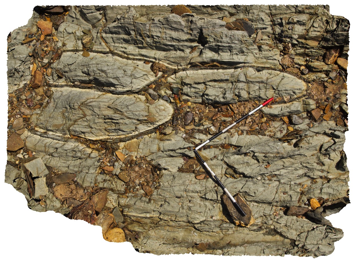
faulted contact between metasediments and altered basalt. Sulphur Creek, north Tas. |
11.70 |
-41.09114000000 |
146.01987000000 |
1.000 |
faulted contact, geological contact, basalt, structure |
basalt, metasediments |
SulphurCreek10 Map
 |
5 |
01/01/9999 midnight |
3D terrestrial photogrammetric model |
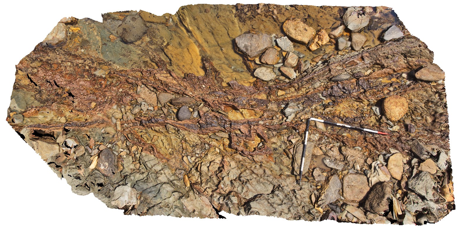
altered pillow basalts, showing individual pillows and quench rims. Sulphur Creek, north Tas. |
2.10 |
-41.09169000000 |
146.02086000000 |
1.000 |
pillow basalt, pillow, lava, volcanic |
basalt |
SulphurCreek11 Map
 |
5 |
01/01/9999 midnight |
3D terrestrial photogrammetric model |
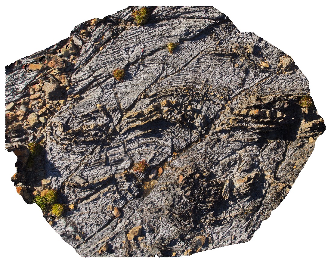
mineralised (Pyrite?) vein converting to iron oxides cutting deformed pillow basalts. Sulphur Creek, north Tas. |
4.00 |
-41.09169000000 |
146.02094000000 |
1.000 |
pillow basalt, vein, pyrite, iron oxide, alteration, deformation, structure |
basalt |
SulphurCreekUAV1 Map
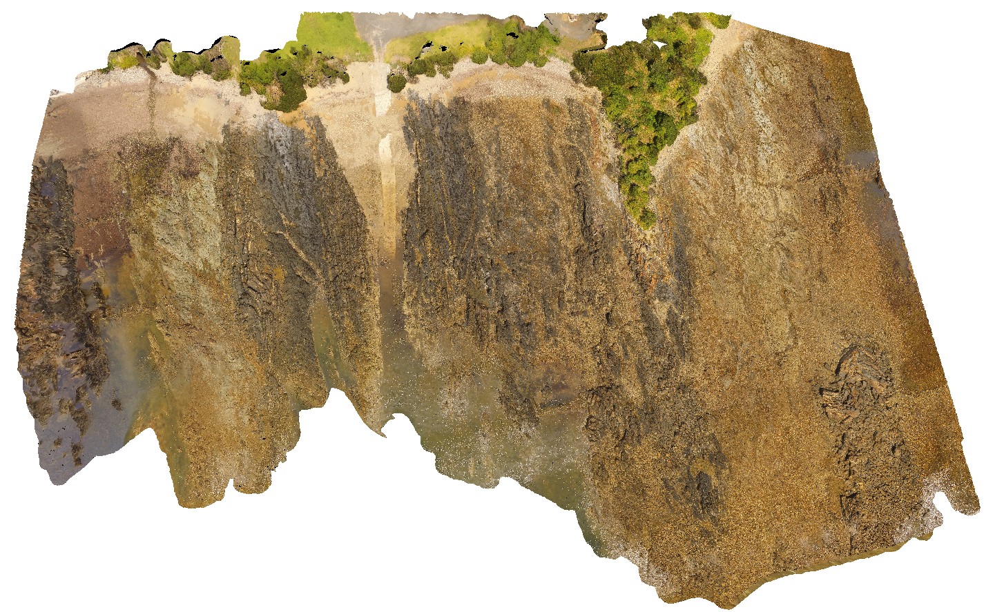 |
20 |
01/01/9999 midnight |
3D UAV photogrammetric model |
aerial view of shore outcrop, showing region of folded metasediments in contact with altered basalts. Sulphur Creek, north Tas. |
232.00 |
-41.09104300000 |
146.02016600000 |
108.600 |
metasediments, basalt, fold, fault |
metasediments, basalt |
SulphurCreekFSP1 Map
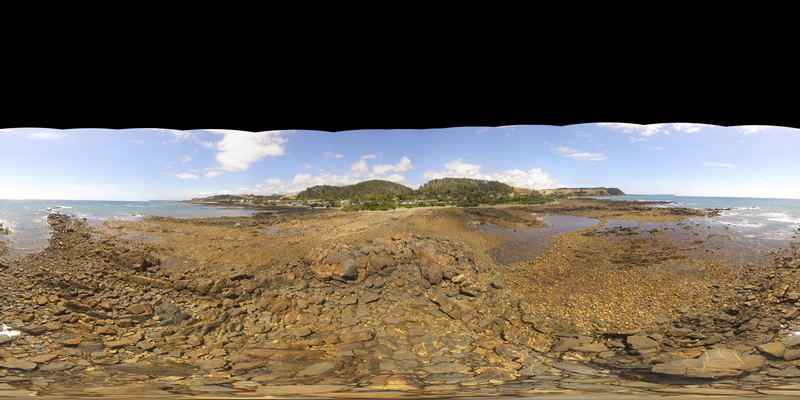 |
5 |
01/01/9999 midnight |
Full Spherical Panorama |
folded metasediments, with stringer and stockwork veining. Sulphur Creek, north Tas. |
250.00 |
-41.09081000000 |
146.07003000000 |
1.000 |
stockwork veining, metasediments |
metasediments |
SulphurCreekFSP2 Map
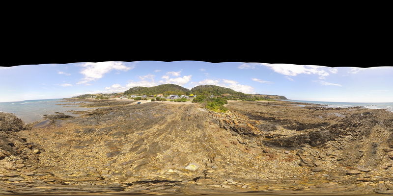 |
5 |
01/01/9999 midnight |
Full Spherical Panorama |
out crop of folded interbedded sandstones and mudstones. Sulphur Creek, north Tas. |
500.00 |
-41.09081000000 |
146.07003000000 |
1.000 |
fold, metasediments, structure |
metasediment |
SulphurCreekFSP3 Map
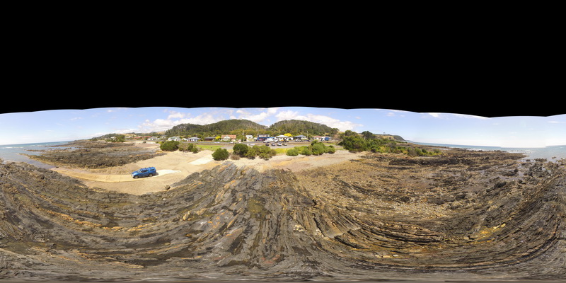 |
5 |
01/01/9999 midnight |
Full Spherical Panorama |
view of thinly layered mudstones with kink bands. Sulphur Creek, north Tas. |
500.00 |
-41.09081000000 |
146.07003000000 |
1.000 |
kink band, fold, structure |
mudstone |
SulphurCreekFSP4 Map
 |
5 |
01/01/9999 midnight |
Full Spherical Panorama |
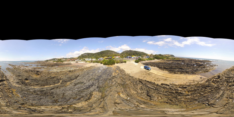
beach exposure of truncated folding in bedded sandstones and mudstones. Sulphur Creek, north Tas. |
500.00 |
-41.09097000000 |
146.02003000000 |
1.000 |
fault, fold, structure, metasediments |
metasediments |
SulphurCreekFSP5 Map
 |
5 |
01/01/9999 midnight |
Full Spherical Panorama |
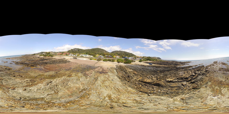
shore exposure of faulted contact between basalt and folded sediments. Sulphur Creek, north Tas. |
500.00 |
-41.09097000000 |
146.02003000000 |
1.000 |
fault, contact, metasediments, structure |
mudstone, basalt |
HallPointUAV1 Map
 |
20 |
01/01/9999 midnight |
3D UAV photogrammetric model |
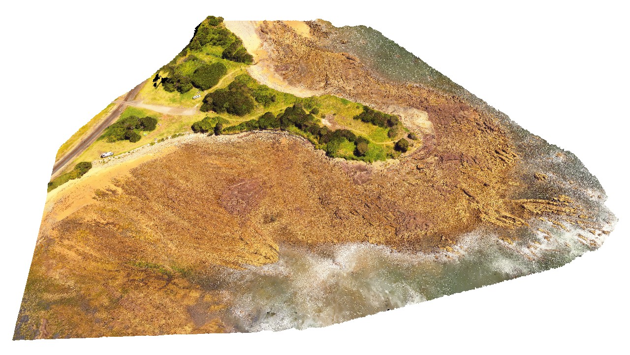
aerial view of folded and deformed Precambrian quartzites of the Rocky Cape Group. Hall Point, Sulphur Creek. Tasmania. |
335.00 |
-41.09298700000 |
146.02833200000 |
76.000 |
structure, Precambrian quartzite, fold |
quartzite |
HallPointFSP1 Map
 |
20 |
01/01/9999 midnight |
Full Spherical Panorama |
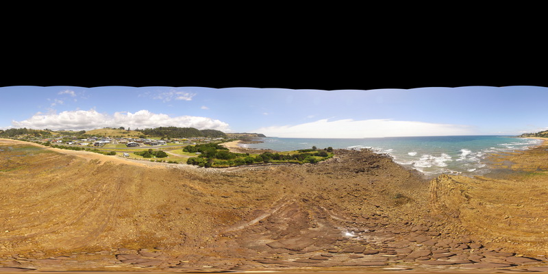
basal Ordovician unconformity with underlying folded Precambrian quartzite. Hall Point, Sulphur Creek. Tasmania. |
500.00 |
-41.09298700000 |
146.02833200000 |
1.000 |
unconformity, fold, structure |
quartzite, conglomerate |
 AusGeol.org