WTas8 Map
 |
5 |
01/01/9999 midnight |
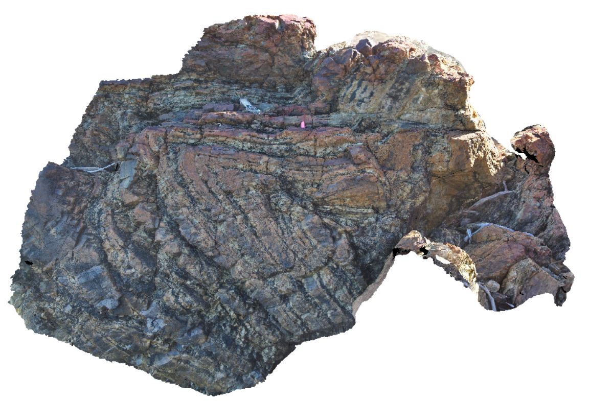
3D terrestrial photogrammetric model |
fold in silicified mudstone of the Eldon Group. Trial Harbour, West Tasmania. |
2.00 |
-41.93808000000 |
145.18112000000 |
-9999.000 |
fold, structure, silicified |
mudstone |
WTasFSP1 Map
 |
5 |
01/01/9999 midnight |
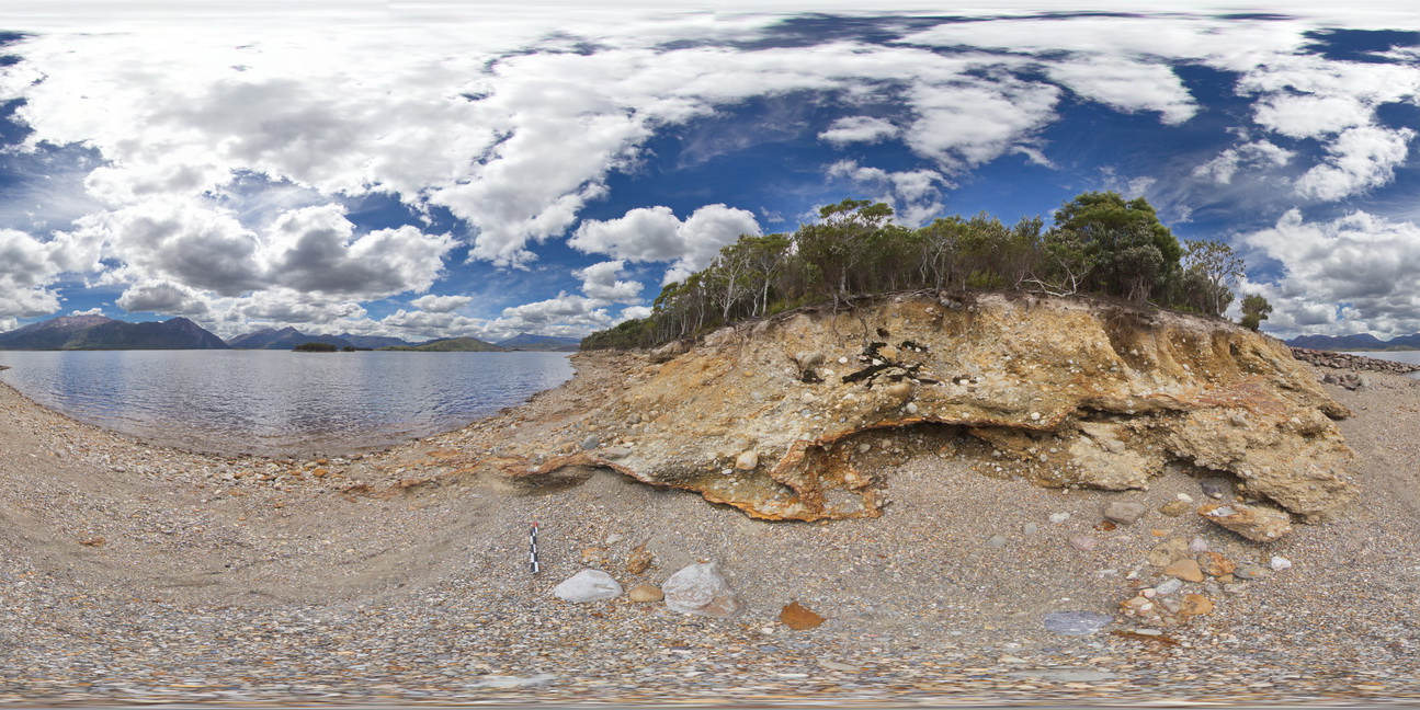
Full Spherical Panorama |
view of shore of Lake Burbury, showing the vista and (Pleistocene) tillite. Lake Burbury, West Tasmania. |
200.00 |
-42.09616000000 |
145.67336000000 |
-9999.000 |
tillite, Pleistocene sediments |
tillite |
WTasFSP2 Map
 |
5 |
01/01/9999 midnight |
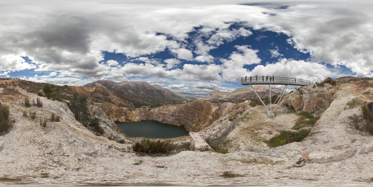
Full Spherical Panorama |
view of the Iron Blow at My Lyell with view of the Lyell Schist and Owen Group. Gormanston, West Tasmania. |
1000.00 |
-42.06907000000 |
145.58952000000 |
-9999.000 |
Iron Blow, Mount Lyell Copper Mine, Lyell Schist, Mine, open pit |
schist, conglomerate |
WTasFSP2 Map
|
5 |
01/01/9999 midnight |
Full Spherical Panorama |
view of the Iron Blow at My Lyell with view of the Lyell Schist and Owen Group. Gormanston, West Tasmania. |
1000.00 |
-42.06907000000 |
145.58952000000 |
-9999.000 |
Iron Blow, Mount Lyell Copper Mine, Lyell Schist, Mine, open pit |
schist, conglomerate |
WTasUAV1 Map
 |
20 |
01/01/9999 midnight |
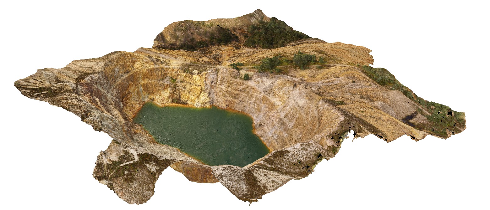
3D UAV photogrammetric model |
aerial view of the Iron Blow open pit at My Lyell with view of the Lyell Schist and Owen Group. Gormanston, West Tasmania. |
0.00 |
-42.06835300000 |
145.59241300000 |
-9999.000 |
fault, contact, structure, Mount Lyell, Lyell Schist, Owen Group, conglomerate, Iron Blow Copper Mine |
schist, conglomerate |
WTasUAV1 Map
|
20 |
01/01/9999 midnight |
3D UAV photogrammetric model |
aerial view of the Iron Blow open pit at My Lyell with view of the Lyell Schist and Owen Group. Gormanston, West Tasmania. |
0.00 |
-42.06835300000 |
145.59241300000 |
-9999.000 |
fault, contact, structure, Mount Lyell, Lyell Schist, Owen Group, conglomerate, Iron Blow Copper Mine |
schist, conglomerate |
WTas9 Map
 |
5 |
01/01/9999 midnight |
3D terrestrial photogrammetric model |
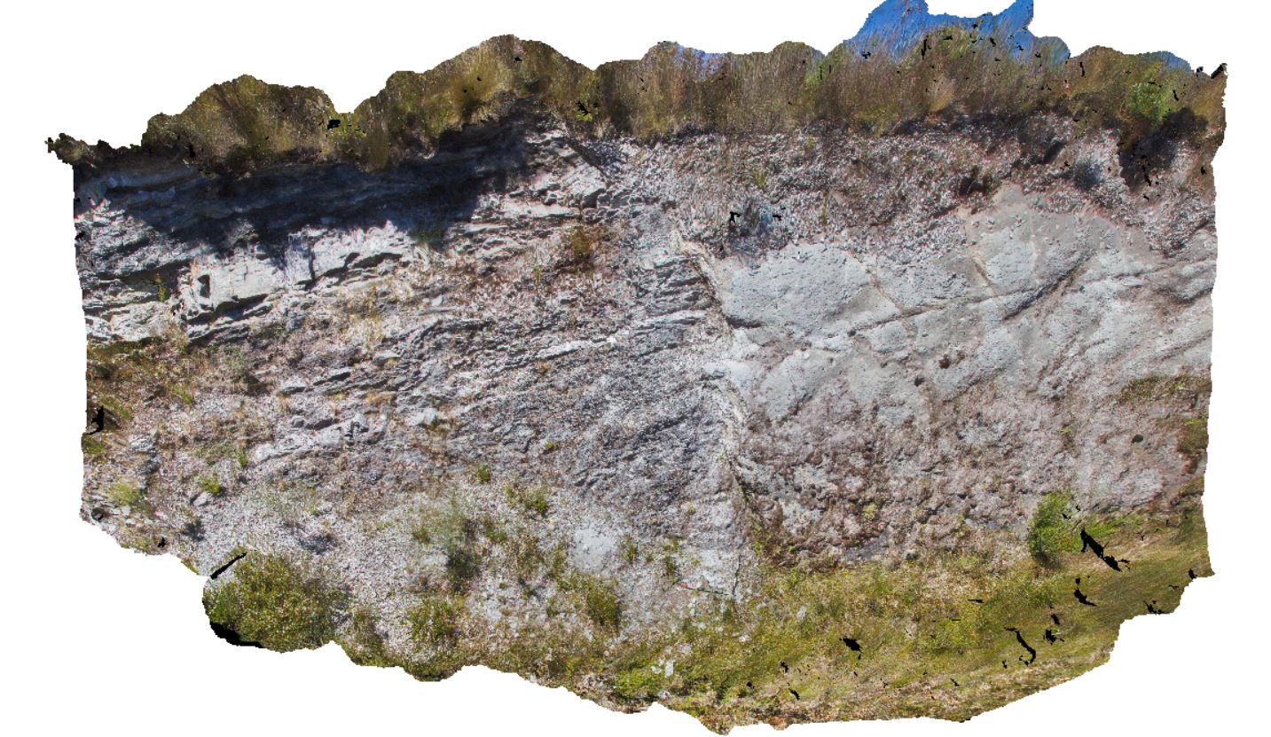
faulted contact between Oonah Formation siltstone and quartzite and Permian diamictite. Heemskirk Road, West Tasmania. |
9.00 |
-41.85563000000 |
145.31541000000 |
-9999.000 |
structure, drag fault, fault |
mudstone, diamictite |
WTasUAV2 Map
 |
20 |
01/01/9999 midnight |
3D UAV photogrammetric model |
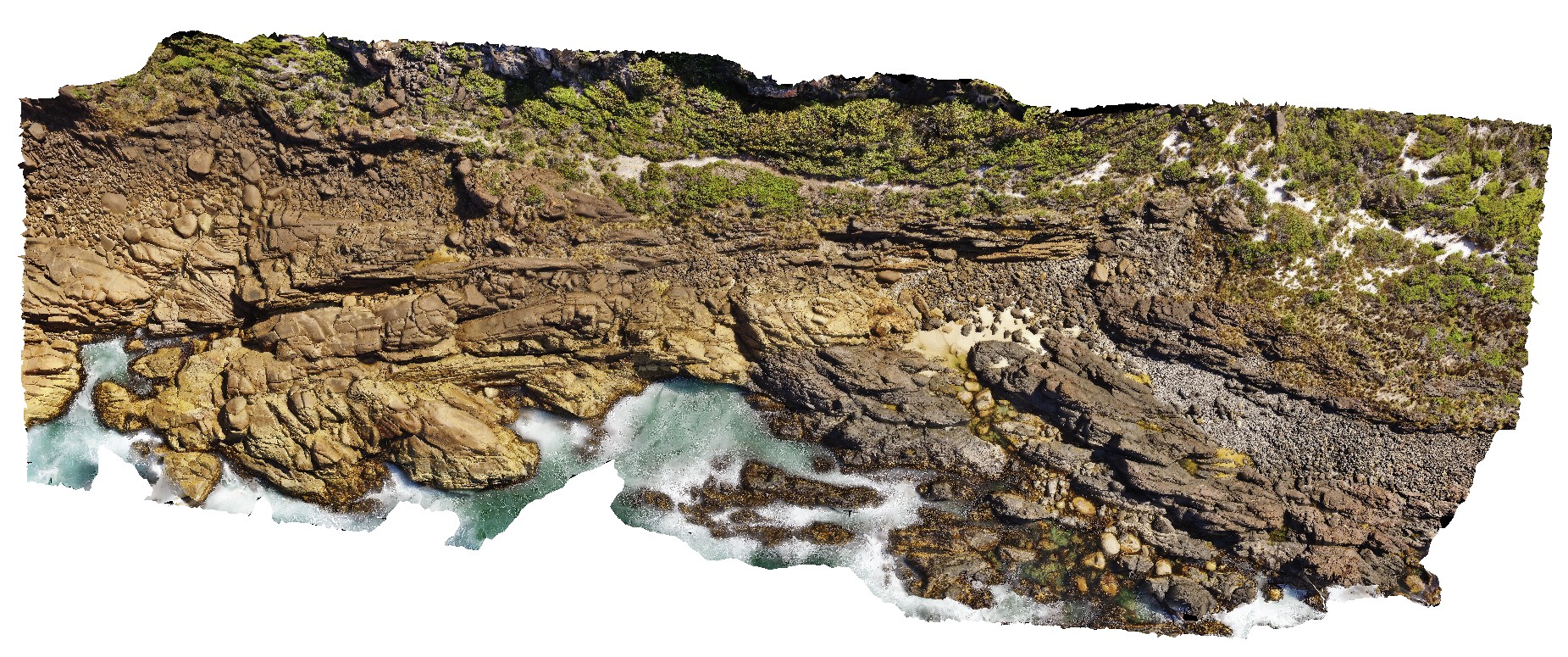
aerial view of Heemskirk Granite in contact with ultramafic suite at north end of Trial Harbour. Trial Harbour, West Tas. |
50.00 |
-41.92522000000 |
145.16256400000 |
-9999.000 |
igneous contact, contact, Heemskirk Granite |
granite, ultramafic |
WTasUAV3 Map
 |
20 |
01/01/9999 midnight |
3D UAV photogrammetric model |
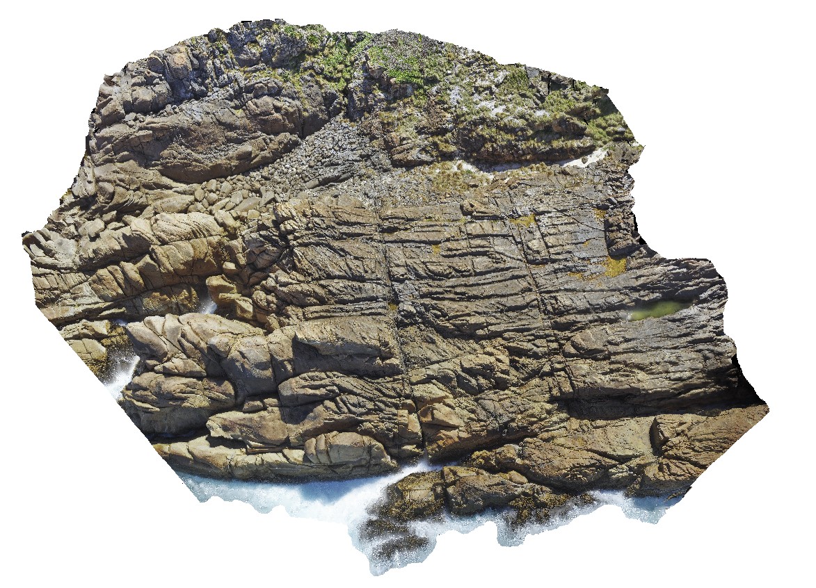
aerial view of jointed granite, with magmatic - hydrothermal alteration and veining. Trial Harbour, West Tasmania. |
100.00 |
-41.92280300000 |
145.15734300000 |
-9999.000 |
granite, tourmaline orbicules, intrusive contact |
granite |
WTasFSP3 Map
 |
5 |
01/01/9999 midnight |
Full Spherical Panorama |
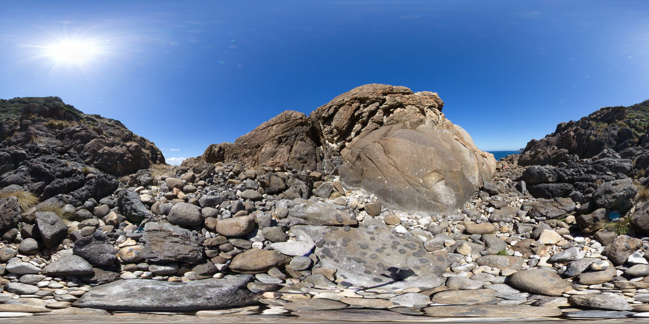
360 degree view of coastal exposure, showing White Heemskirk Granite with tourmaline orbicules. Trial Harbour, West Tasmania. |
100.00 |
-41.92277000000 |
145.15710000000 |
-9999.000 |
tourmaline orbicules |
granite |
WTasUAV2 Map
|
20 |
01/01/9999 midnight |
3D UAV photogrammetric model |
aerial view of Heemskirk Granite in contact with ultramafic suite at north end of Trial Harbour. Trial Harbour, West Tas. |
50.00 |
-41.92522000000 |
145.16256400000 |
-9999.000 |
igneous contact, contact, Heemskirk Granite |
granite, ultramafic |
WTasFSP4 Map
 |
5 |
01/01/9999 midnight |
Full Spherical Panorama |
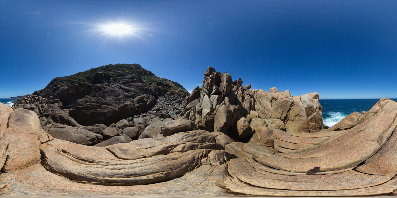
360 degree view of coastal exposure, showing White Heemskirk Granite with tourmaline orbicules. Trial Harbour, West Tasmania. |
100.00 |
-41.92263000000 |
145.15669000000 |
-9999.000 |
tourmaline, orbicules, granite, alteration |
granite |
WTasFSP5 Map
 |
5 |
01/01/9999 midnight |
Full Spherical Panorama |
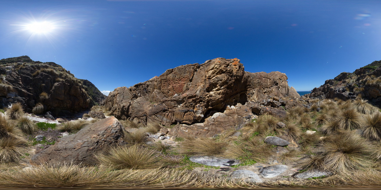
360 degree view of coastal exposure, showing the contact between the White Heemskirk Granite with tourmaline orbicules and the Red Heemskirk Granite. Trial Harbour, West Tasmania. |
100.00 |
-41.92286000000 |
145.15720000000 |
-9999.000 |
igneous contact, tourmaline orbicules |
granite, granite |
WTasFSP5 Map
|
5 |
01/01/9999 midnight |
Full Spherical Panorama |
360 degree view of coastal exposure, showing the contact between the White Heemskirk Granite with tourmaline orbicules and the Red Heemskirk Granite. Trial Harbour, West Tasmania. |
100.00 |
-41.92286000000 |
145.15720000000 |
-9999.000 |
igneous contact, tourmaline orbicules |
granite, granite |
WTasFSP6 Map
 |
5 |
01/01/9999 midnight |
Full Spherical Panorama |
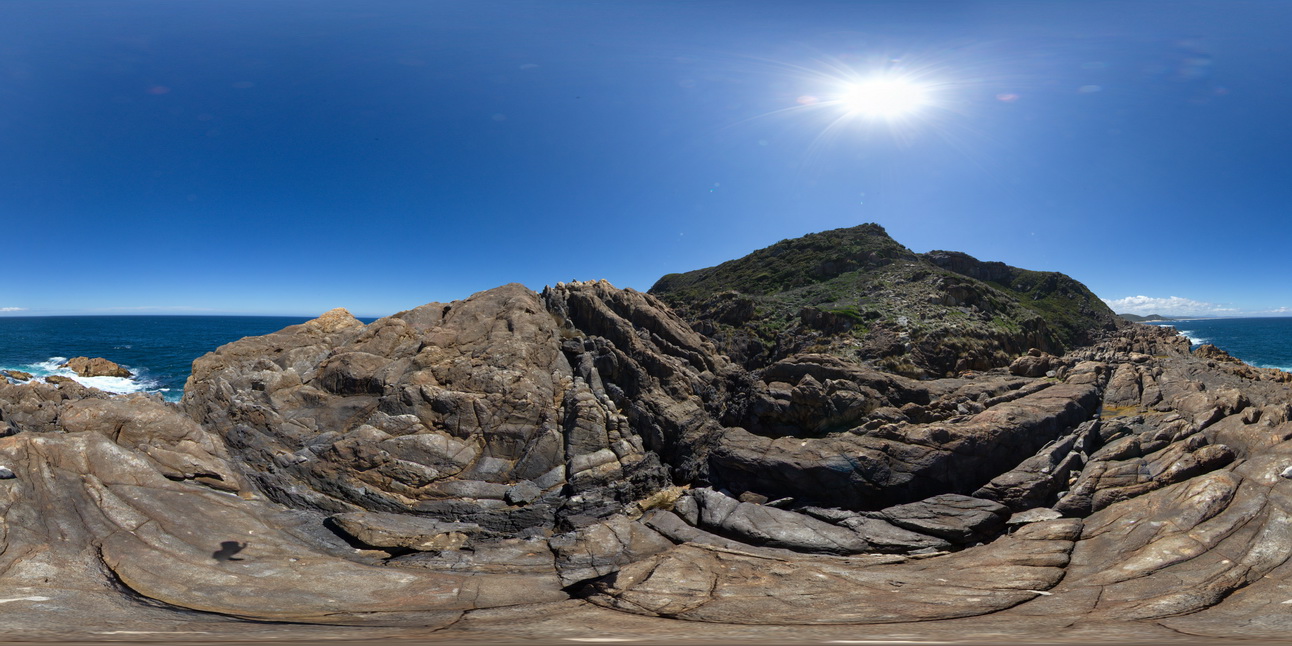
360 degree view of coastal exposure, showing the contact between the White Heemskirk Granite with tourmaline orbicules and the Red Heemskirk Granite. Trial Harbour, West Tasmania. |
100.00 |
-41.92289000000 |
145.15701000000 |
-9999.000 |
igneous contact |
granite, granite |
WTasFSP6 Map
|
5 |
01/01/9999 midnight |
Full Spherical Panorama |
360 degree view of coastal exposure, showing the contact between the White Heemskirk Granite with tourmaline orbicules and the Red Heemskirk Granite. Trial Harbour, West Tasmania. |
100.00 |
-41.92289000000 |
145.15701000000 |
-9999.000 |
igneous contact |
granite, granite |
WTasFSP7 Map
 |
5 |
01/01/9999 midnight |
Full Spherical Panorama |
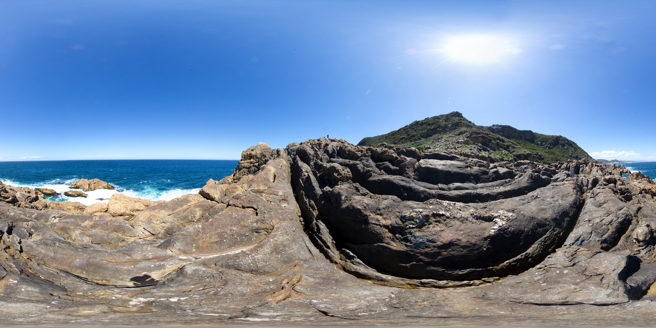
360 degree view of coastal exposure, showing the contact between the White Heemskirk Granite with tourmaline orbicules and the Red Heemskirk Granite with quartz veins. Trial Harbour, West Tasmania. |
100.00 |
-41.92303000000 |
145.15710000000 |
-9999.000 |
igneous contact |
granite, granite |
WTasFSP7 Map
|
5 |
01/01/9999 midnight |
Full Spherical Panorama |
360 degree view of coastal exposure, showing the contact between the White Heemskirk Granite with tourmaline orbicules and the Red Heemskirk Granite with quartz veins. Trial Harbour, West Tasmania. |
100.00 |
-41.92303000000 |
145.15710000000 |
-9999.000 |
igneous contact |
granite, granite |
WTasFSP8 Map
 |
5 |
01/01/9999 midnight |
Full Spherical Panorama |
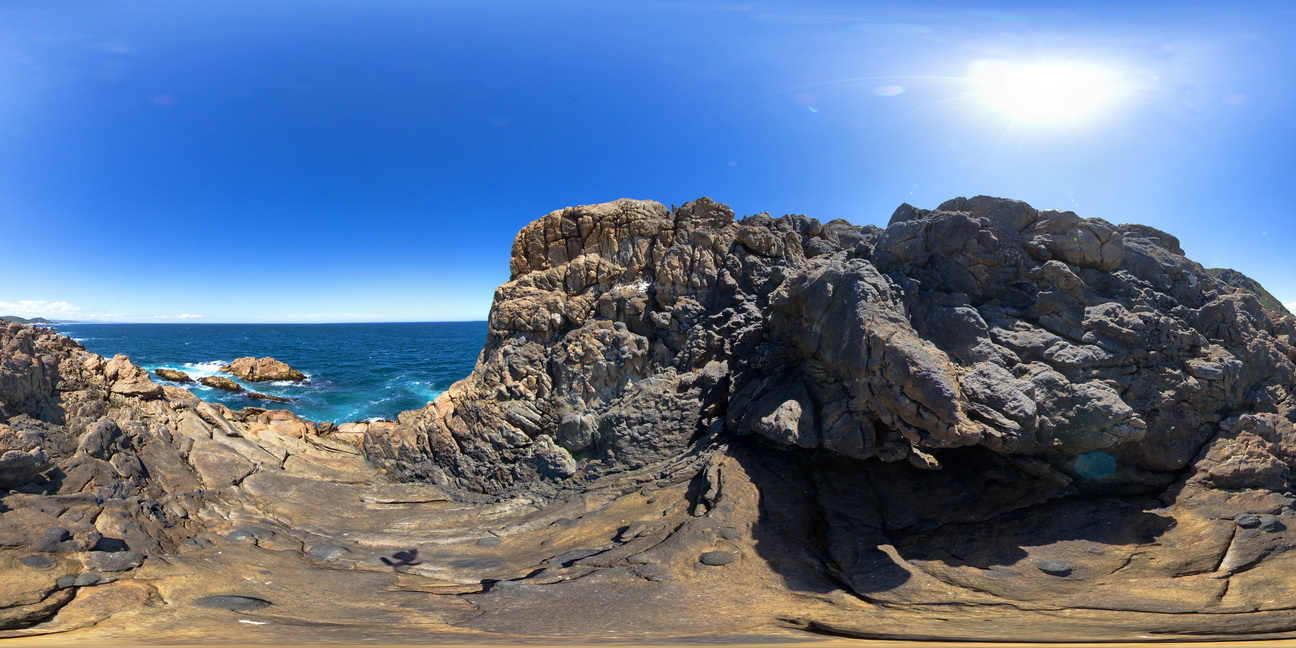
360 degree view of coastal exposure, showing the contact between the Heemskirk White Granite with very large tourmaline orbicules and the Heemskirk Red Granite. Trial Harbour, West Tasmania. |
50.00 |
-41.92303000000 |
145.15695000000 |
-9999.000 |
igneous contact, tourmaline orbicule, contact alteration |
granite, granite |
WTasFSP8 Map
|
5 |
01/01/9999 midnight |
Full Spherical Panorama |
360 degree view of coastal exposure, showing the contact between the Heemskirk White Granite with very large tourmaline orbicules and the Heemskirk Red Granite. Trial Harbour, West Tasmania. |
50.00 |
-41.92303000000 |
145.15695000000 |
-9999.000 |
igneous contact, tourmaline orbicule, contact alteration |
granite, granite |
WTasFSP9 Map
 |
5 |
01/01/9999 midnight |
Full Spherical Panorama |
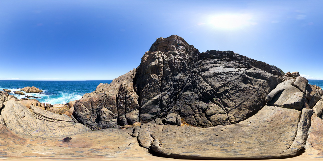
360 degree view of coastal platform and exposure, showing the Heemskirk White Granite with very large tourmaline orbicules. Trial Harbour, West Tasmania. |
50.00 |
-41.92305000000 |
145.15689000000 |
-9999.000 |
granite, tourmaline orbicule, igneous contact |
granite |
WTasFSP10 Map
 |
5 |
01/01/9999 midnight |
Full Spherical Panorama |
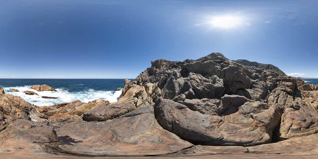
360 degree view of coastal platform and exposure, showing the Heemskirk White Granite with very large tourmaline orbicules. Trial Harbour, West Tasmania. |
100.00 |
-41.92313000000 |
145.15698000000 |
-9999.000 |
igneous contact, tourmaline orbicules |
granite |
WTasFSP11 Map
 |
5 |
01/01/9999 midnight |
Full Spherical Panorama |
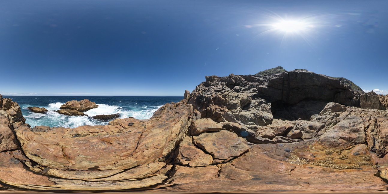
360 degree view of coastal platform and exposure, showing the Heemskirk White Granite with very large tourmaline orbicules. Trial Harbour, West Tasmania. |
100.00 |
-41.92325000000 |
145.15707000000 |
-9999.000 |
granite, tourmaline orbicule, igneous contact |
granite |
WTasFSP12 Map
 |
5 |
01/01/9999 midnight |
Full Spherical Panorama |
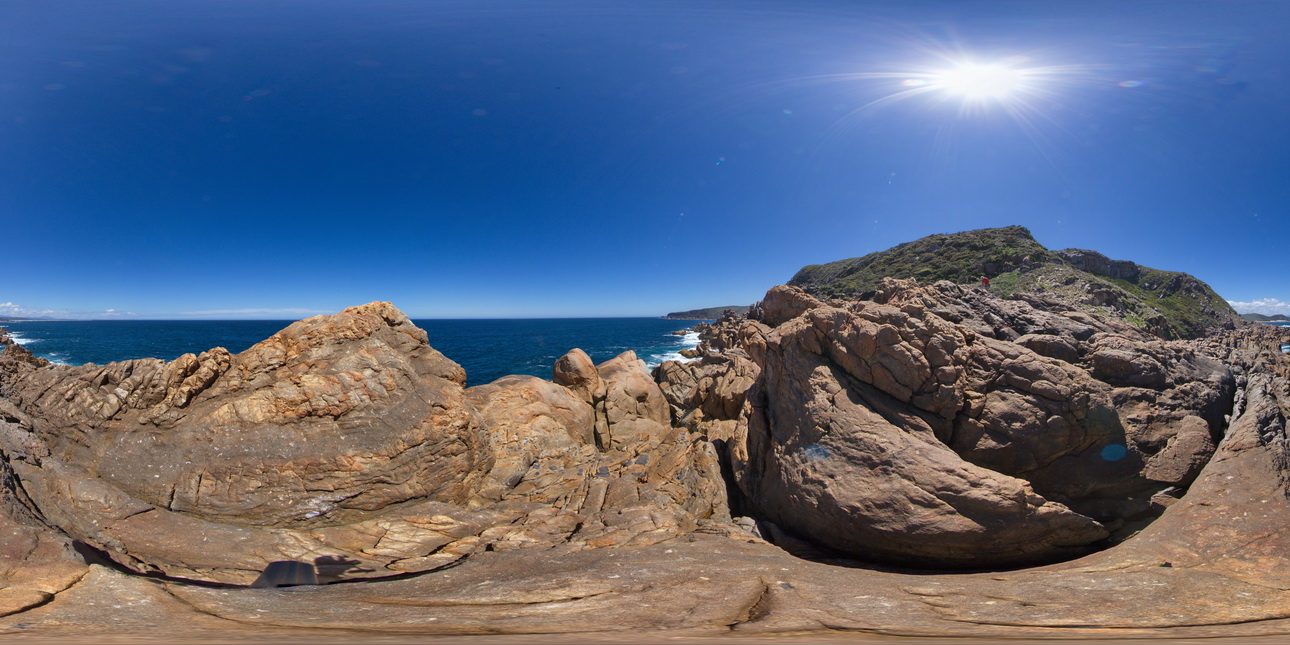
360 degree view of coastal platform and exposure, showing zoned Heemskirk White Granite with very large tourmaline orbicules in contact with the Heemskirk Red Granite. Trial Harbour, West Tasmania. |
500.00 |
-41.92292000000 |
145.15681000000 |
-9999.000 |
igneous contact, tourmaline orbicule, zoned granite |
granite, granite |
WTasFSP12 Map
|
5 |
01/01/9999 midnight |
Full Spherical Panorama |
360 degree view of coastal platform and exposure, showing zoned Heemskirk White Granite with very large tourmaline orbicules in contact with the Heemskirk Red Granite. Trial Harbour, West Tasmania. |
500.00 |
-41.92292000000 |
145.15681000000 |
-9999.000 |
igneous contact, tourmaline orbicule, zoned granite |
granite, granite |
 AusGeol.org