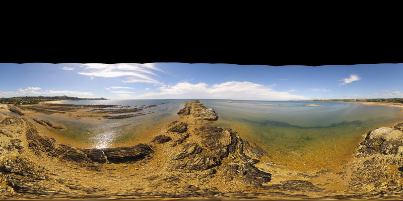
PicnicPtFSP1 Map
 |
5 |
01/01/9999 midnight |
Full Spherical Panorama |
360 degree view of folded pelite and psammite beds exposed at Picnic Point, Northern Tas. |
250.00 |
-41.14010200000 |
146.16233400000 |
1.000 |
metasediments, fold, structure |
metasediments |
PicnicPtFSP1 Map
|
5 |
01/01/9999 midnight |
Full Spherical Panorama |
360 degree view of folded pelite and psammite beds exposed at Picnic Point, Northern Tas. |
250.00 |
-41.14010200000 |
146.16233400000 |
1.000 |
metasediments, fold, structure |
metasediments |
PicnicPtFSP1 Map
|
5 |
01/01/9999 midnight |
Full Spherical Panorama |
360 degree view of folded pelite and psammite beds exposed at Picnic Point, Northern Tas. |
250.00 |
-41.14010200000 |
146.16233400000 |
1.000 |
metasediments, fold, structure |
metasediments |
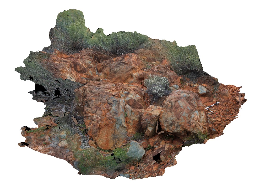
Ninghan2 Map
 |
5 |
01/01/9999 midnight |
3D terrestrial photogrammetric model |
Archean meta-pillow basalts with interpillow quartz-cemented breccia. Thick unit located at the top of Mount Singleton, near Great Northern Highway, W.A. |
4.35 |
-29.37333320000 |
117.27916670000 |
650.000 |
Metabasalt, Pillow basalt, Interpillow breccia |
basalt |
Ninghan2 Map
|
5 |
01/01/9999 midnight |
3D terrestrial photogrammetric model |
Archean meta-pillow basalts with interpillow quartz-cemented breccia. Thick unit located at the top of Mount Singleton, near Great Northern Highway, W.A. |
4.35 |
-29.37333320000 |
117.27916670000 |
650.000 |
Metabasalt, Pillow basalt, Interpillow breccia |
basalt |
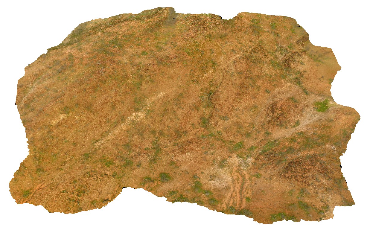
MtGippsUAV3 Map
 |
50 |
06/27/2016 noon |
3D UAV photogrammetric model |
metasediments, Mount Gipps, N.S.W. |
420.00 |
-31.61280890000 |
141.49239520000 |
-9999.000 |
metasediments, metamorphic |
metasediments |
MtGippsUAV3 Map
|
50 |
06/27/2016 noon |
3D UAV photogrammetric model |
metasediments, Mount Gipps, N.S.W. |
420.00 |
-31.61280890000 |
141.49239520000 |
-9999.000 |
metasediments, metamorphic |
metasediments |
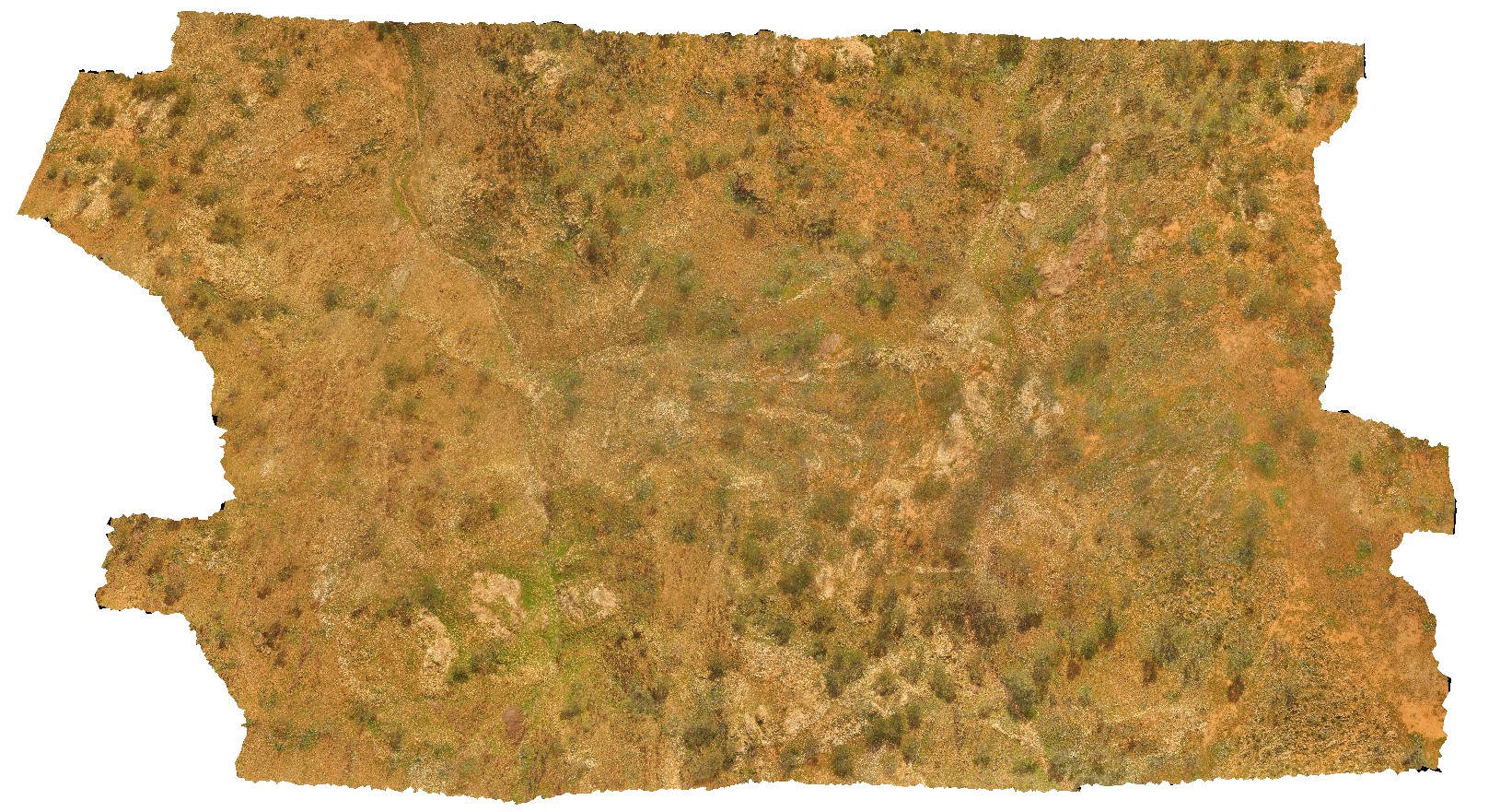
MtGippsUAV2 Map
 |
50 |
06/27/2016 noon |
3D UAV photogrammetric model |
metasediments, Mount Gipps, N.S.W. |
470.00 |
-31.61700110000 |
141.50016650000 |
-9999.000 |
metasediments, structure, metamorphic |
metasediments |
MtGippsUAV2 Map
|
50 |
06/27/2016 noon |
3D UAV photogrammetric model |
metasediments, Mount Gipps, N.S.W. |
470.00 |
-31.61700110000 |
141.50016650000 |
-9999.000 |
metasediments, structure, metamorphic |
metasediments |
MtGippsUAV2 Map
|
50 |
06/27/2016 noon |
3D UAV photogrammetric model |
metasediments, Mount Gipps, N.S.W. |
470.00 |
-31.61700110000 |
141.50016650000 |
-9999.000 |
metasediments, structure, metamorphic |
metasediments |
MtGippsFSP60 Map
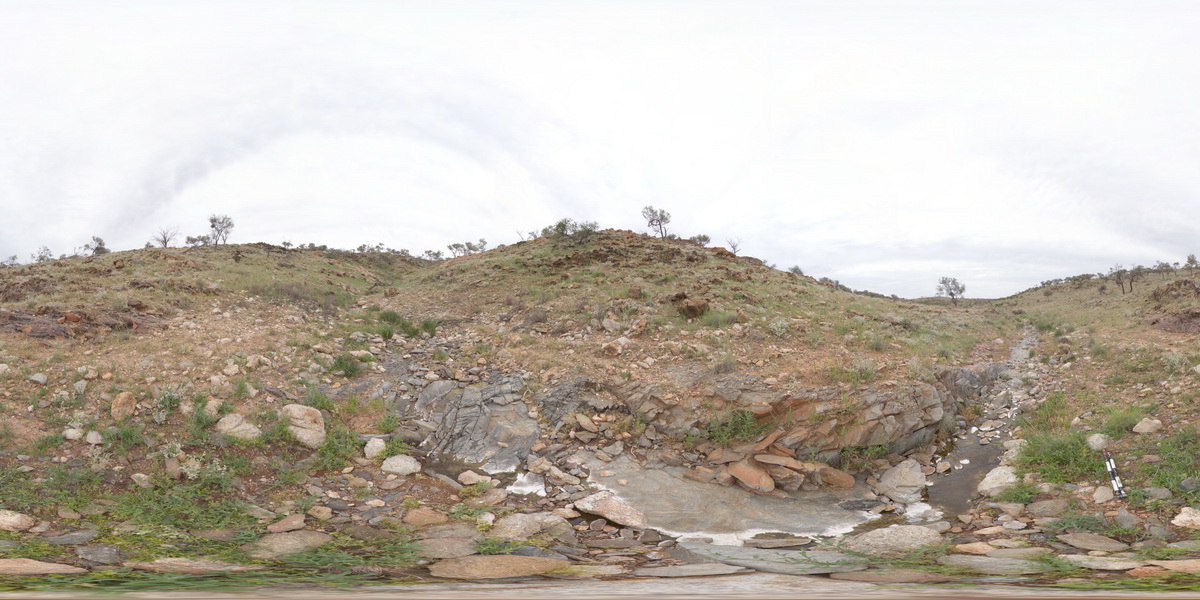 |
5 |
01/01/9999 midnight |
Full Spherical Panorama |
360 degree view of metamorphic rocks. Mount Gipps, N.S.W. |
100.00 |
-31.61606300000 |
141.50019300000 |
-9999.000 |
metamorphic rocks |
metamorphic rock |
MtGippsFSP59 Map
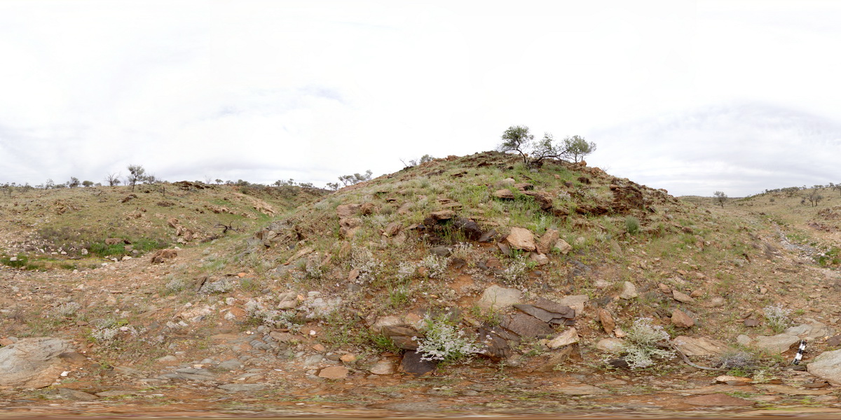 |
5 |
01/01/9999 midnight |
Full Spherical Panorama |
360 degree view of disrupted metasediments. Mount Gipps, N.S.W. |
100.00 |
-31.61617100000 |
141.50018300000 |
-9999.000 |
metasediments, structure |
metasediments |
MtGippsFSP59 Map
|
5 |
01/01/9999 midnight |
Full Spherical Panorama |
360 degree view of disrupted metasediments. Mount Gipps, N.S.W. |
100.00 |
-31.61617100000 |
141.50018300000 |
-9999.000 |
metasediments, structure |
metasediments |
MtGippsFSP58 Map
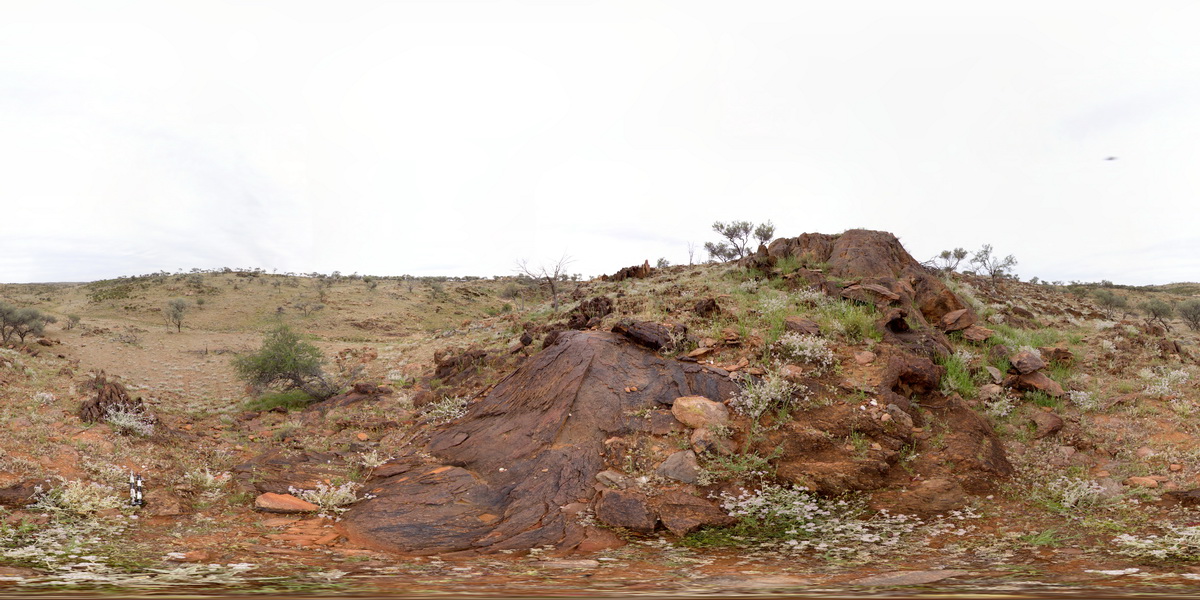 |
5 |
01/01/9999 midnight |
Full Spherical Panorama |
360 degree view of disrupted metasediments. Mount Gipps, N.S.W. |
250.00 |
-31.61602800000 |
141.49977100000 |
-9999.000 |
metasediments, structure |
metasediments |
MtGippsFSP58 Map
|
5 |
01/01/9999 midnight |
Full Spherical Panorama |
360 degree view of disrupted metasediments. Mount Gipps, N.S.W. |
250.00 |
-31.61602800000 |
141.49977100000 |
-9999.000 |
metasediments, structure |
metasediments |
MtGippsFSP57 Map
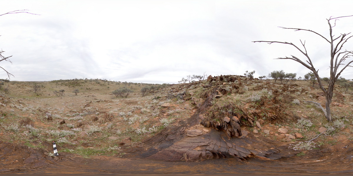 |
5 |
01/01/9999 midnight |
Full Spherical Panorama |
360 degree view of disrupted metasediments. Mount Gipps, N.S.W. |
100.00 |
-31.61584100000 |
141.49931700000 |
-9999.000 |
metasediments |
metasediments |
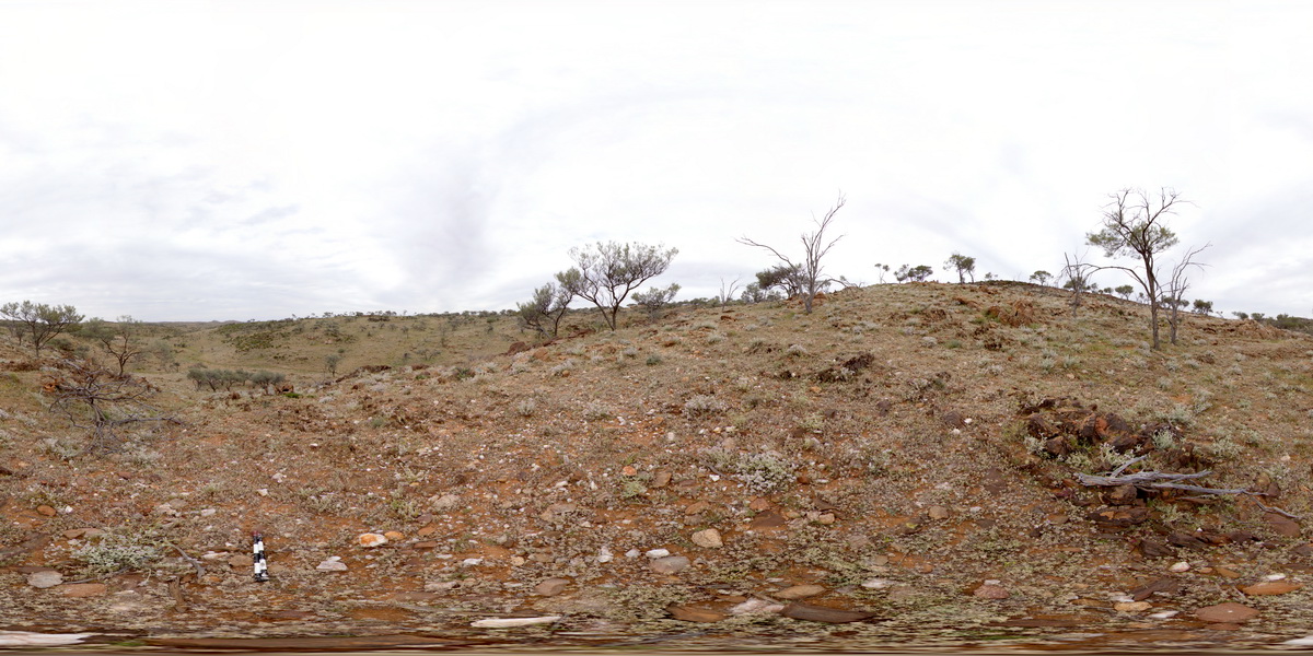
MtGippsFSP56 Map
 |
5 |
01/01/9999 midnight |
Full Spherical Panorama |
360 degree view of metasediments. Mount Gipps, N.S.W. |
250.00 |
-31.61620000000 |
141.49960300000 |
-9999.000 |
metasediments |
metasediments |
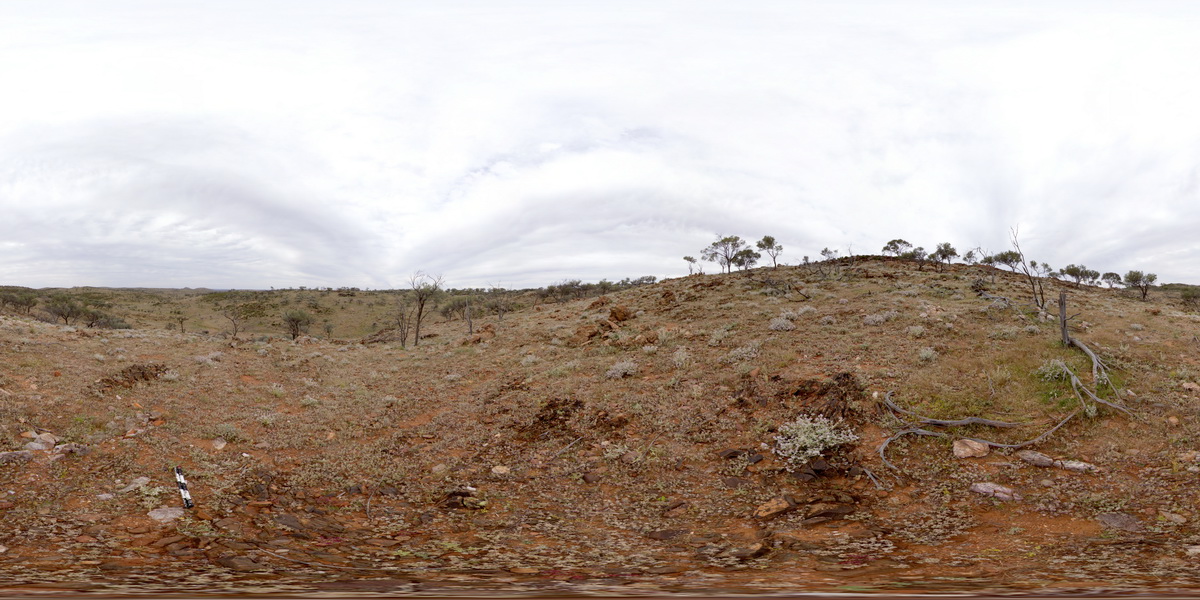
MtGippsFSP55 Map
 |
5 |
01/01/9999 midnight |
Full Spherical Panorama |
360 degree view of metamorphic rocks. Mount Gipps, N.S.W. |
500.00 |
-31.61626500000 |
141.49936100000 |
-9999.000 |
metamorphic rock |
metamorphic rock |
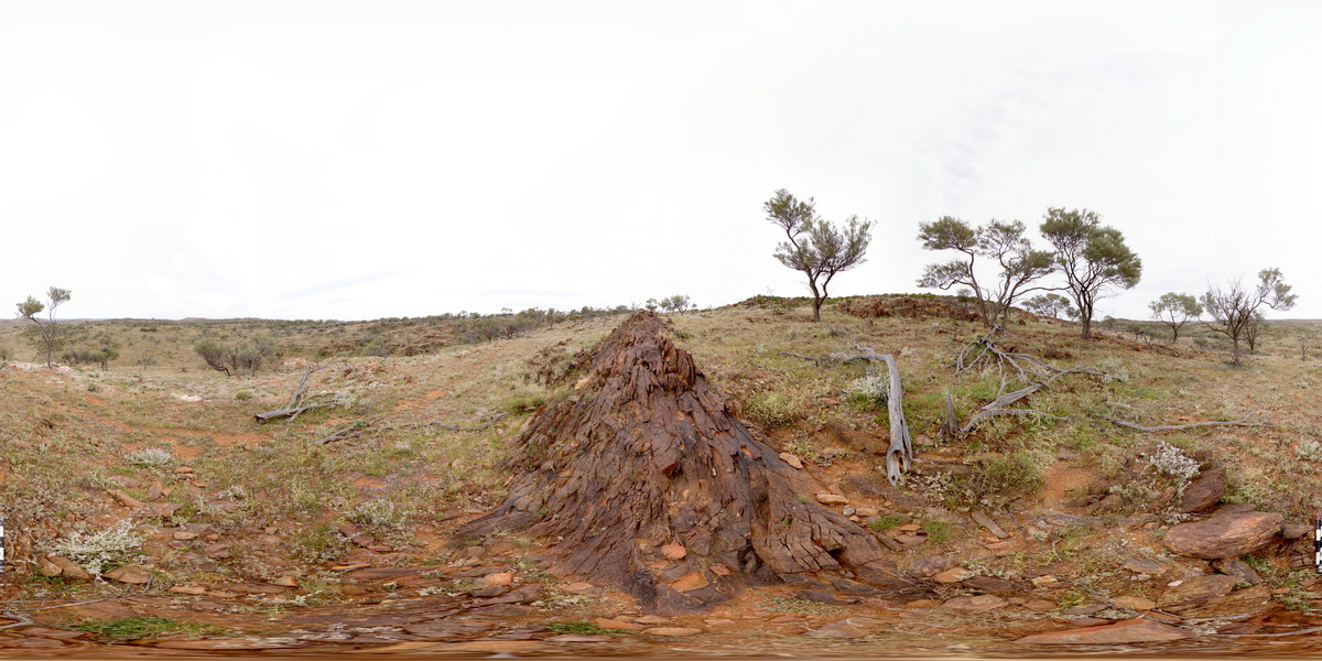
MtGippsFSP54 Map
 |
5 |
01/01/9999 midnight |
Full Spherical Panorama |
360 degree view of metasediments. Mount Gipps, N.S.W. |
250.00 |
-31.61672400000 |
141.49959600000 |
-9999.000 |
metasediments |
metasediments |
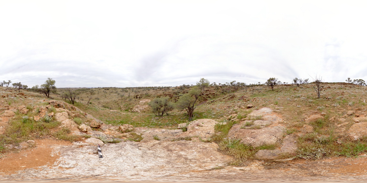
MtGippsFSP53 Map
 |
5 |
01/01/9999 midnight |
Full Spherical Panorama |
360 degree view of metamorphic rock. Mount Gipps, N.S.W. |
250.00 |
-31.61670400000 |
141.50002800000 |
-9999.000 |
metamorphic rock |
metamorphic rock |
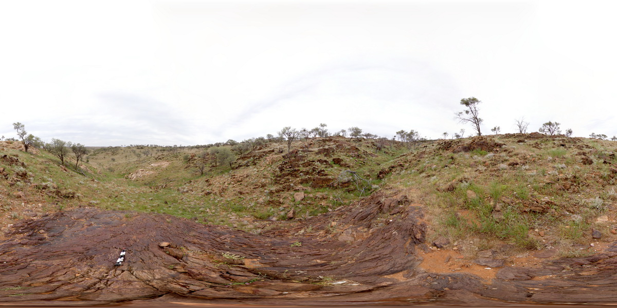
MtGippsFSP52 Map
 |
5 |
01/01/9999 midnight |
Full Spherical Panorama |
360 degree view of disrupted metasediments. Mount Gipps, N.S.W. |
100.00 |
-31.61687400000 |
141.50035600000 |
-9999.000 |
metasediments |
metasediments |
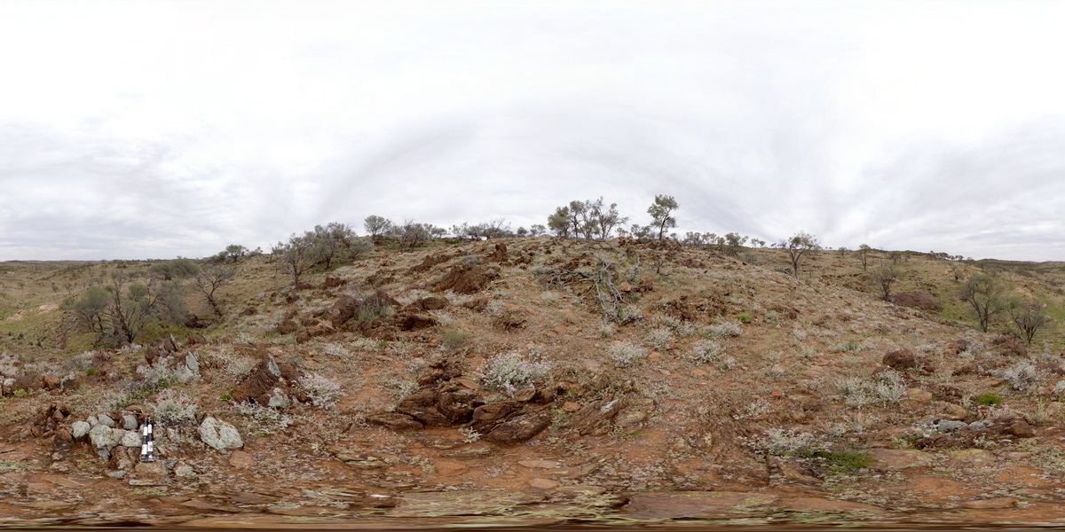
MtGippsFSP51 Map
 |
5 |
01/01/9999 midnight |
Full Spherical Panorama |
360 degree view of disrupted metasediments. Mount Gipps, N.S.W. |
100.00 |
-31.61684500000 |
141.50080900000 |
-9999.000 |
metasediments |
metasediments |
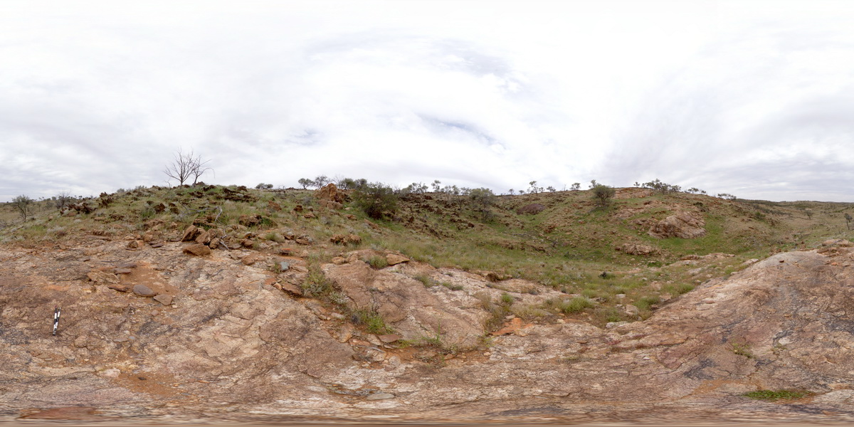
MtGippsFSP50 Map
 |
5 |
01/01/9999 midnight |
Full Spherical Panorama |
360 degree view of metamorphic rocks. Mount Gipps, N.S.W. |
50.00 |
-31.61644900000 |
141.50060600000 |
-9999.000 |
metamorphic rock |
metamorphic rock |
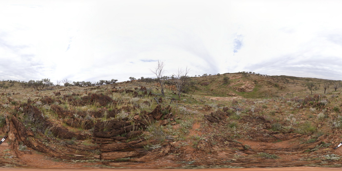
MtGippsFSP49 Map
 |
5 |
01/01/9999 midnight |
Full Spherical Panorama |
360 degree view of folded metasediments. Mount Gipps, N.S.W. |
100.00 |
-31.61631300000 |
141.50071100000 |
-9999.000 |
fold, metasediment |
metasediment |
 AusGeol.org