BHillFSP2 Map
 |
0 |
10/19/2015 9:12 a.m. |
Full Spherical Panorama |
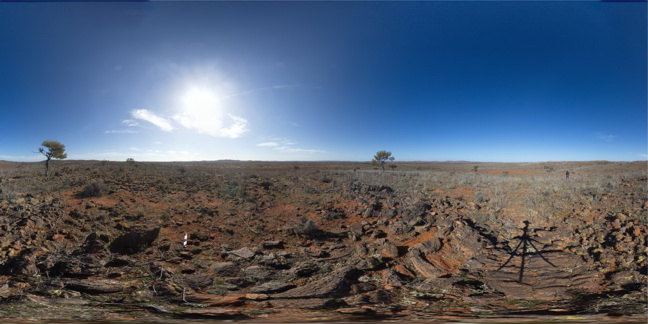
overview of outcropping folded Sundown Group Metasediments and distant hills. Broken Hill. N.S.W. |
3000.00 |
-31.83338000000 |
141.42760000000 |
-9999.000 |
Sundown Metasediments., fold |
metasediments |
BHillFSP5 Map
 |
0 |
10/19/2015 9:35 a.m. |
Full Spherical Panorama |
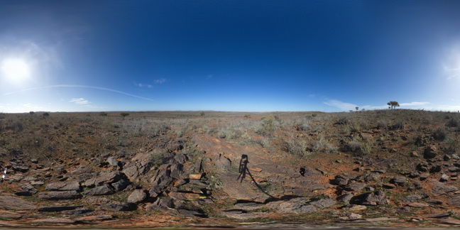
overview of outcropping Sundown Group Metasediments and distant hills. Broken Hill. N.S.W. |
3000.00 |
-31.83376000000 |
141.42818000000 |
-9999.000 |
Sundown Group, metasediments |
metasediments |
BHillFSP6 Map
 |
0 |
10/19/2015 9:39 a.m. |
Full Spherical Panorama |
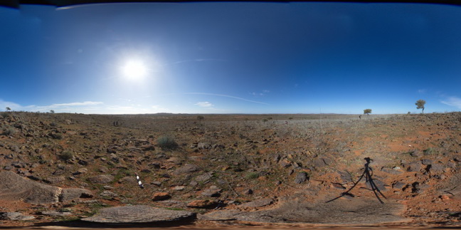
overview of outcropping folded and crenulated Sundown Group Metasediments and distant hills. Broken Hill. N.S.W. |
3000.00 |
-31.83335000000 |
141.42799000000 |
-9999.000 |
Sundown Group, crenulation cleavage |
metasediment |
BHillFSP8 Map
 |
0 |
10/19/2015 9:47 a.m. |
Full Spherical Panorama |
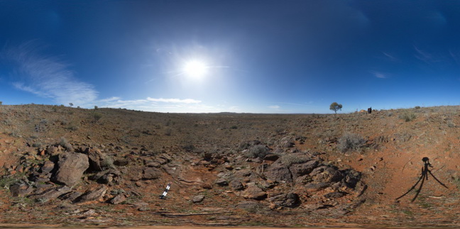
overview of outcropping folded Sundown Group Metasediments and distant hills. Broken Hill. N.S.W. |
3000.00 |
-31.83298000000 |
141.42821000000 |
-9999.000 |
Sundown Group, metasediments, fold |
metasediments |
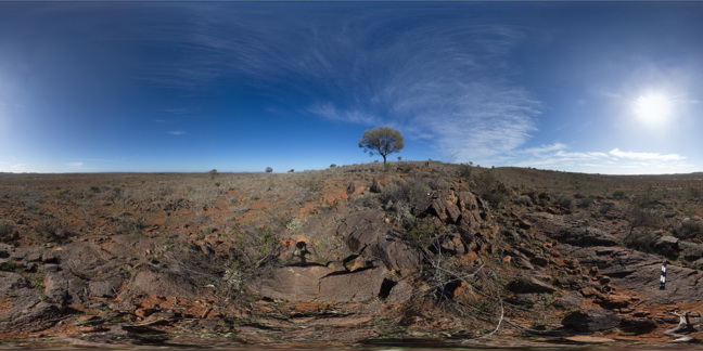
BHillFSP9 Map
 |
0 |
10/19/2015 9:51 a.m. |
Full Spherical Panorama |
overview of outcropping folded and bedded / graded Sundown Group Metasediments and distant hills. Broken Hill. N.S.W. |
3000.00 |
-31.83300000000 |
141.42867000000 |
-9999.000 |
Sundown Group, metasediments, fold, bedded |
metasediment |
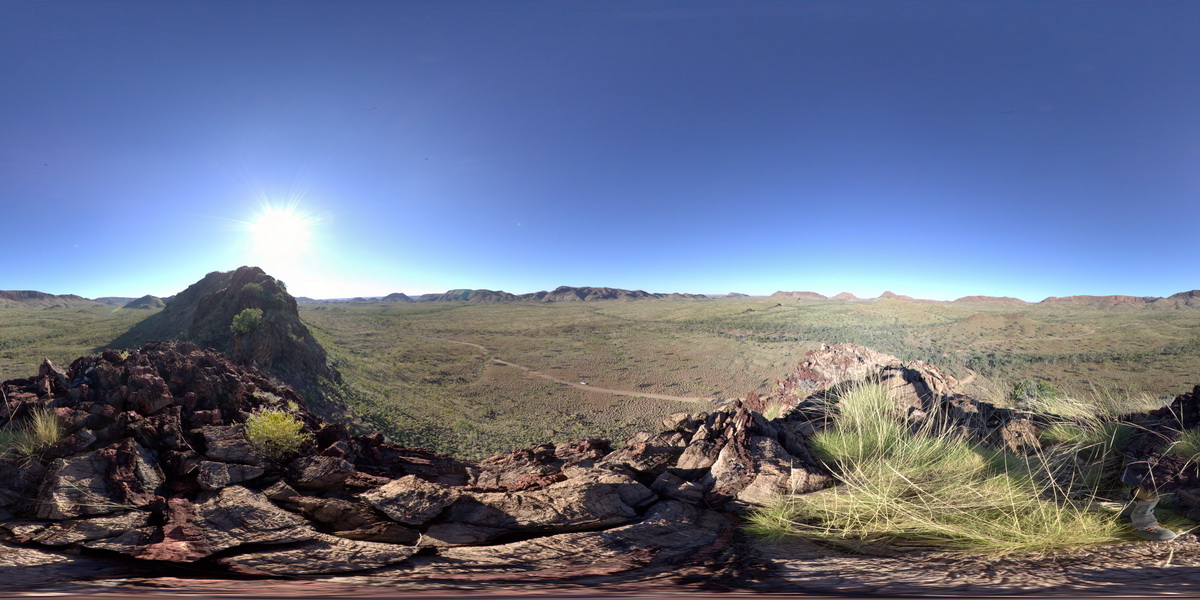
PurnululuFSP15 Map
 |
0 |
06/12/2016 noon |
Full Spherical Panorama |
calcite-cemented breccia in red (hematitic) and buff coloured dolostone. Knife-edge ridge, Purnululu National Park, W.A. |
3000.00 |
-17.40892000000 |
128.20384000000 |
-9999.000 |
dolostone, breccia, structure, sedimentology |
dolostone |
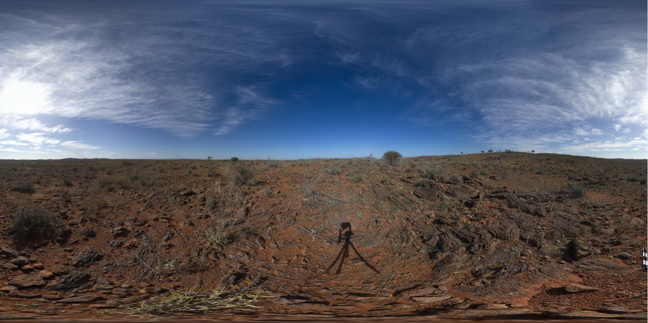
BHillFSP12 Map
 |
0 |
10/19/2015 10:33 a.m. |
Full Spherical Panorama |
overview of outcropping folded and banded / bedded Sundown Group Metasediments, Broken Hill. N.S.W. |
3000.00 |
-31.83396000000 |
141.43024000000 |
-9999.000 |
Sundown Group, metasediment, fold, structure |
metasediment |
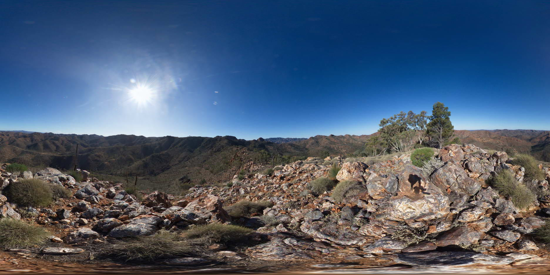
ArkaroolaFSP12 Map
 |
5 |
11/26/2015 3:15 p.m. |
Full Spherical Panorama |
view from Mt Gee looking over the surrounding area. Outcrop of Mt Gee Sinter in the foreground. Arkaroola. Northern Flinders Ranges, S.A. |
3000.00 |
-30.22729000000 |
139.34213000000 |
-9999.000 |
sinter |
sinter |
KingsFSP2 Map
 |
5 |
07/31/2016 11:04 a.m. |
Full Spherical Panorama |
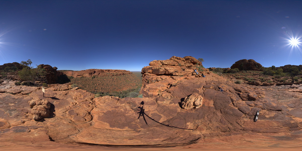
panorama view looking south across Kings Canyon, showing contact between
Mereenie Sandstone and the Carmichael Sandstone. Kings Canyon, Watarrka National Park, N.T. |
3000.00 |
-24.24864000000 |
131.57758600000 |
738.694 |
Kings Canyon, Carmichael Sandstone, Mereenie Sandstone, sedimentology, geological contact |
sandstone, sandstone |
AlvieFSP2 Map
 |
0 |
06/05/2016 10:33 a.m. |
Full Spherical Panorama |
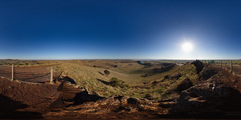
view from Red Rocks lookout of surrounding volcanic topography of old maar volcanos and cinder cones. Foreground shows the Red Rocks scoria deposits. Alvie, Vic. |
3000.00 |
-38.24814000000 |
143.50490000000 |
-9999.000 |
scoria, maar volcano, cinder cone, volcanics |
scoria |
MistakeCreekFSP1 Map
 |
0 |
06/11/2016 noon |
Full Spherical Panorama |
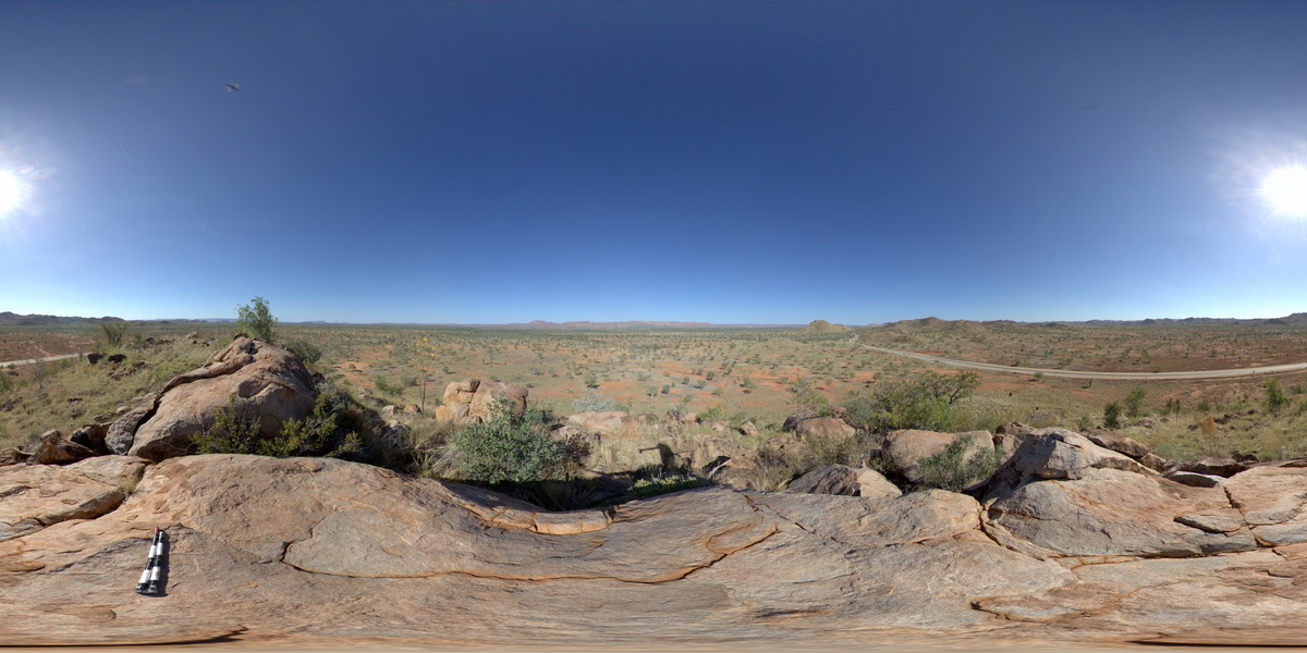
view from granite outcrop at surrounding plane. Mistake Creek, Great Northern Highway, north of Warmun Roadhouse. W.A. |
3000.00 |
-16.94494000000 |
128.24110000000 |
-9999.000 |
granite |
granite |
DixonRangeFSP2 Map
 |
0 |
06/14/2016 noon |
Full Spherical Panorama |
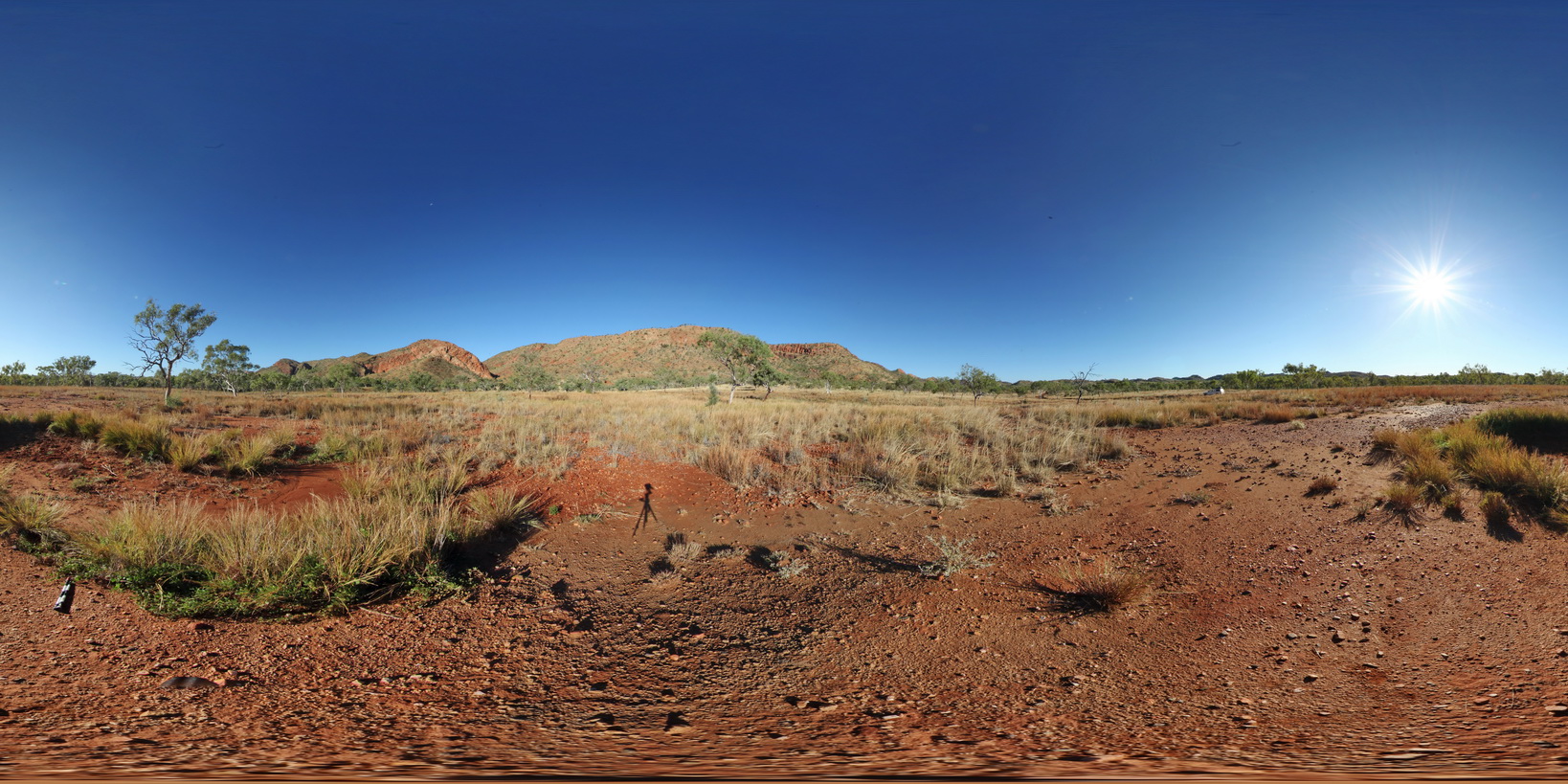
view of fault-block terrane showing blocks of metasediment. Dixon Range road. Dixon Range, W.A. |
2000.00 |
-17.18634000000 |
128.24443000000 |
-9999.000 |
fault terrane, structure, fault, metasediment |
metasediment |
DAVPFSP2 Map
 |
0 |
07/22/2016 5:20 p.m. |
Full Spherical Panorama |
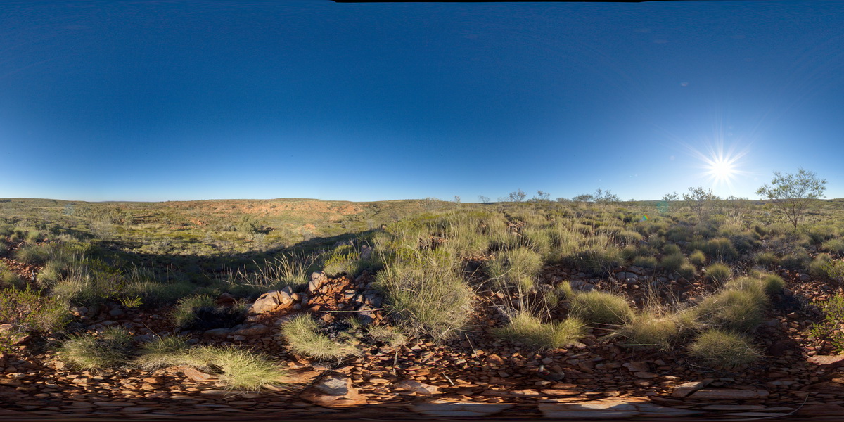
view of Irmweng rock hole, showing bedded quartzite outcrops. South of Whistle Duck Creek. N.T. |
2000.00 |
-20.65046400000 |
134.77071400000 |
445.115 |
bedding, quartzite, metamorphic |
quartzite |
DixonRangeFSP3 Map
 |
0 |
06/14/2016 noon |
Full Spherical Panorama |
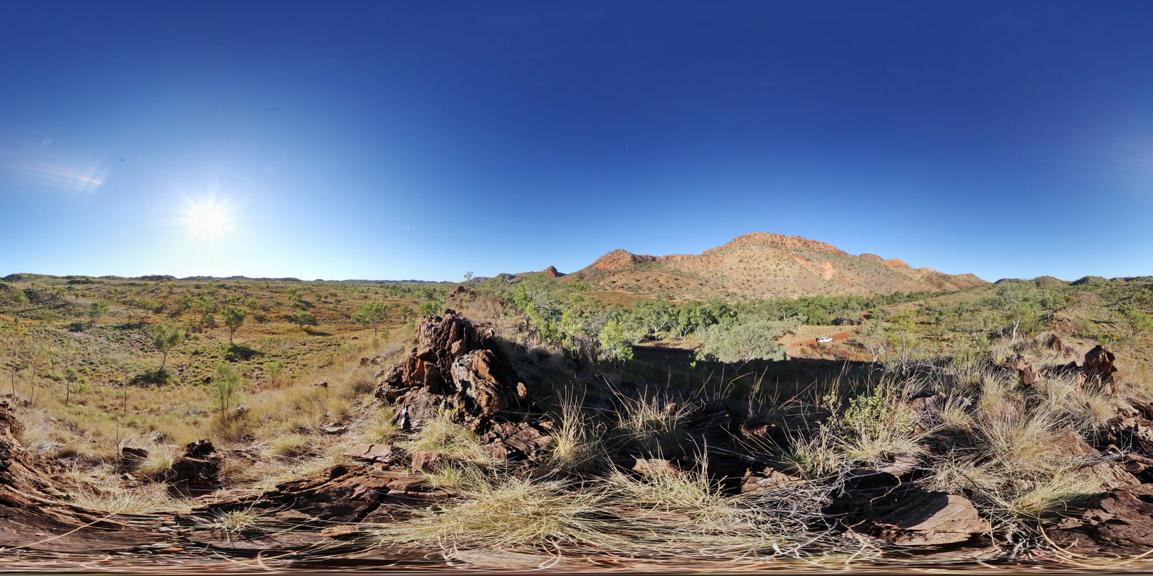
view of fault-block terrane showing blocks of metasediment. Dixon Range road. Dixon Range, W.A. |
2000.00 |
-17.19481000000 |
128.24078000000 |
-9999.000 |
metasediments, fault block terrane, structure, fault |
metasediment |
DixonRangeFSP4 Map
 |
0 |
06/14/2016 noon |
Full Spherical Panorama |
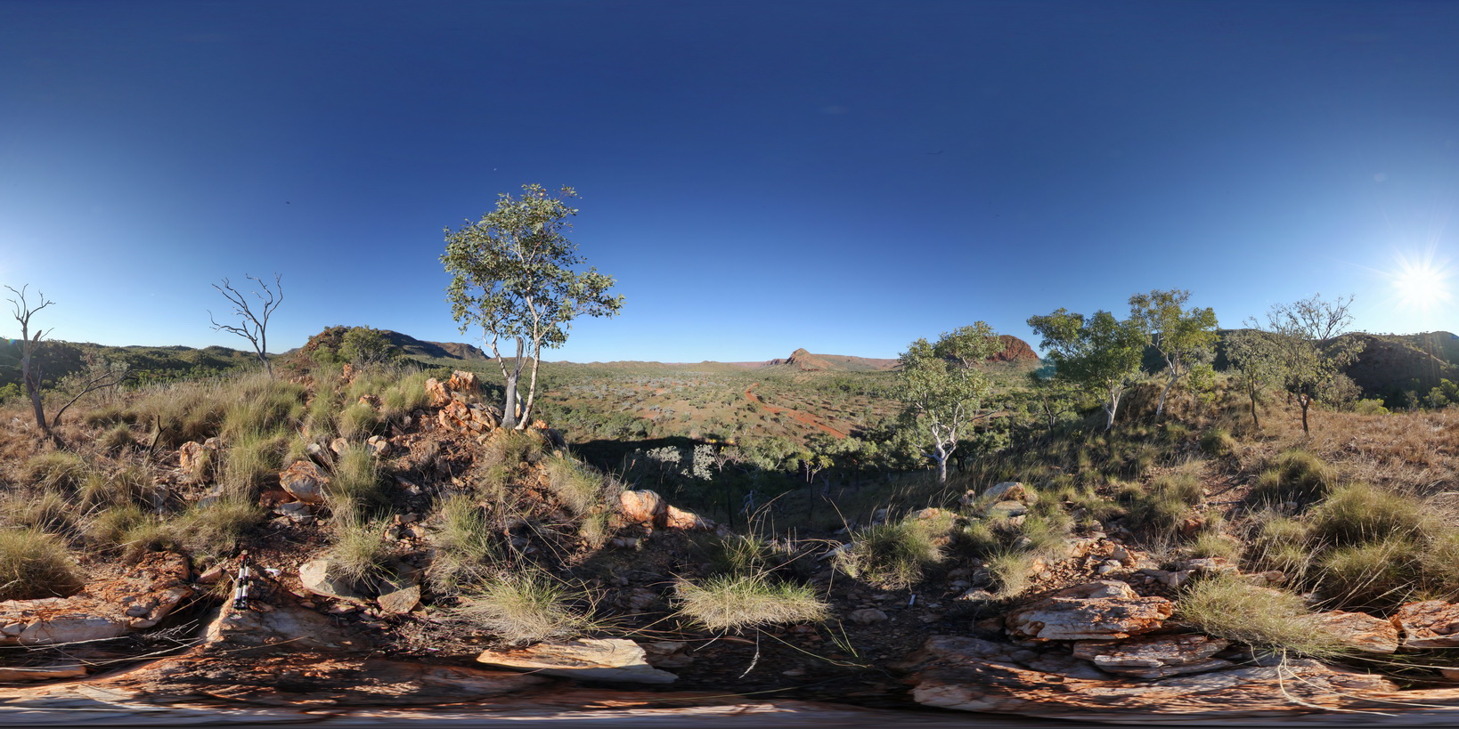
360 degree view of fault block terrane, showing hills and ridges of metasediments and flat, recessed plane of metamorphics below. Road to Dixon Range, north W.A. |
2000.00 |
-17.21462000000 |
128.23607000000 |
-9999.000 |
fault block terrane, fault, metasediments, structure, weathering landscape |
metasediments, metasediment |
DixonRangeFSP5 Map
 |
0 |
06/14/2016 noon |
Full Spherical Panorama |
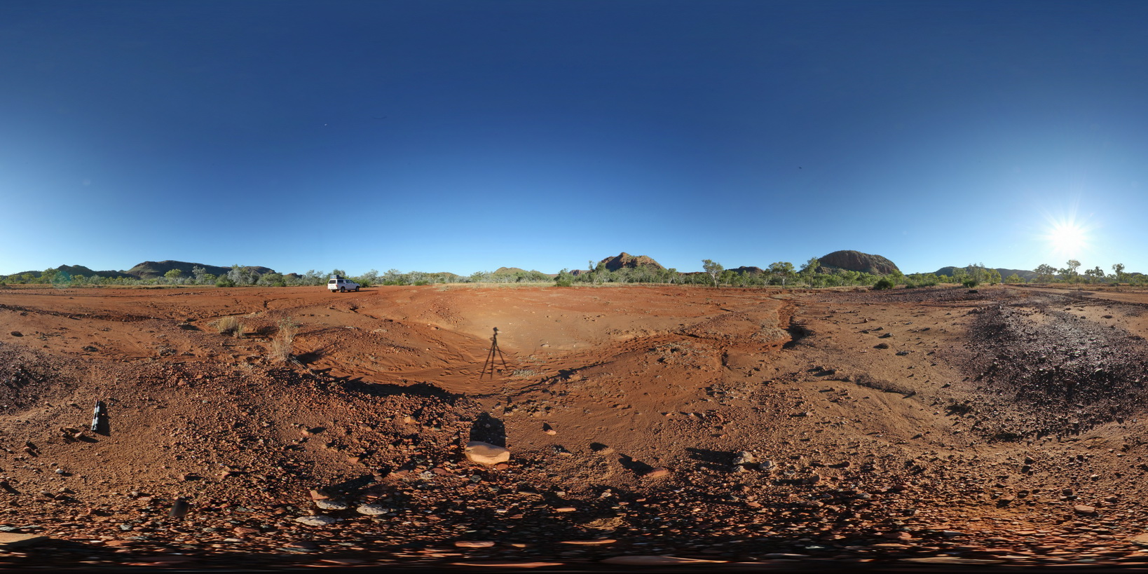
360 degree view of surrounding metasediment hills of the Red Rock Formation. Road to Dixon Range, north W.A. |
2000.00 |
-17.21930000000 |
128.24271000000 |
-9999.000 |
metasediment, fault terrane, metamorphic, fault, structure |
metasediment |
OlaryFSP10 Map
 |
0 |
07/14/2015 11:38 a.m. |
Full Spherical Panorama |
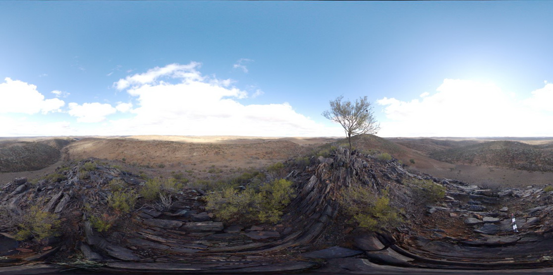
3D view from hill top over surrounding countryside, showing steeply dipping metasediment beds in the foreground . Olary, S.A. |
2000.00 |
-32.17412000000 |
140.00279000000 |
-9999.000 |
bedding, structure, dip, metasediments |
metasediments |
OlaryFSP11 Map
 |
0 |
07/14/2015 11:38 a.m. |
Full Spherical Panorama |
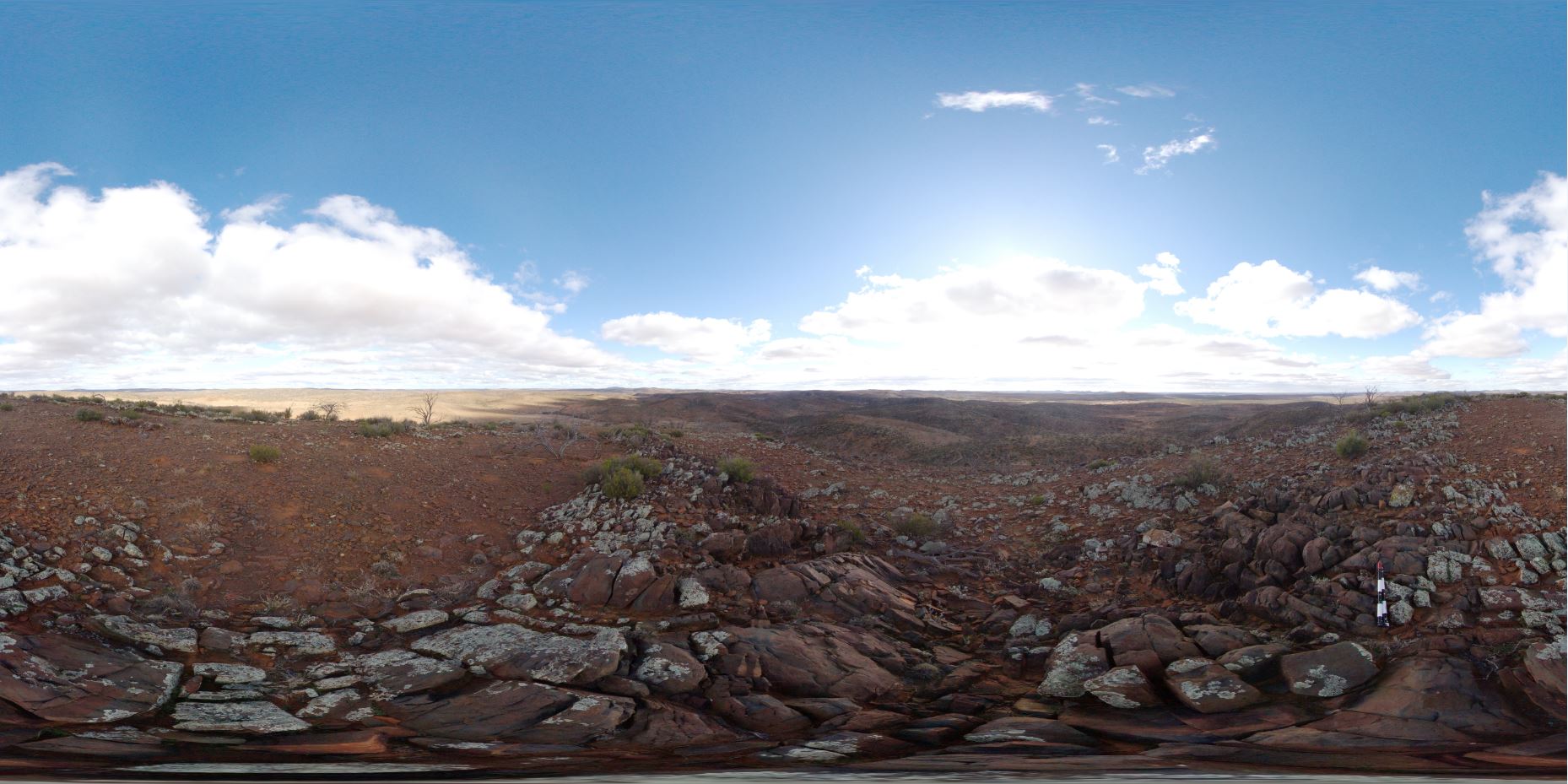
3D view from hill top over surrounding landscape. Olary, S.A. |
2000.00 |
-32.17503000000 |
139.99957000000 |
-9999.000 |
metasediments |
metasediments |
CornyFSP1 Map
 |
0 |
01/27/2016 11:33 a.m. |
Full Spherical Panorama |
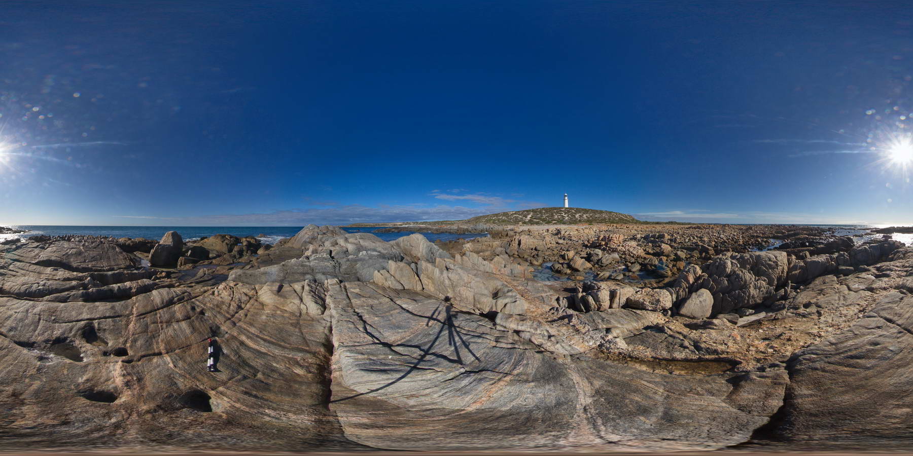
shoreline outcrop showing banded gneiss intruded by pegmatitic dyke. Point Corny. S.A. |
2000.00 |
-34.89556000000 |
137.00983000000 |
-9999.000 |
pegmatitic dyke, intrusive contact, gneiss, metamorphic |
gneiss, pegmatite |
GawlerFSP1 Map
 |
0 |
01/26/2016 3:22 p.m. |
Full Spherical Panorama |
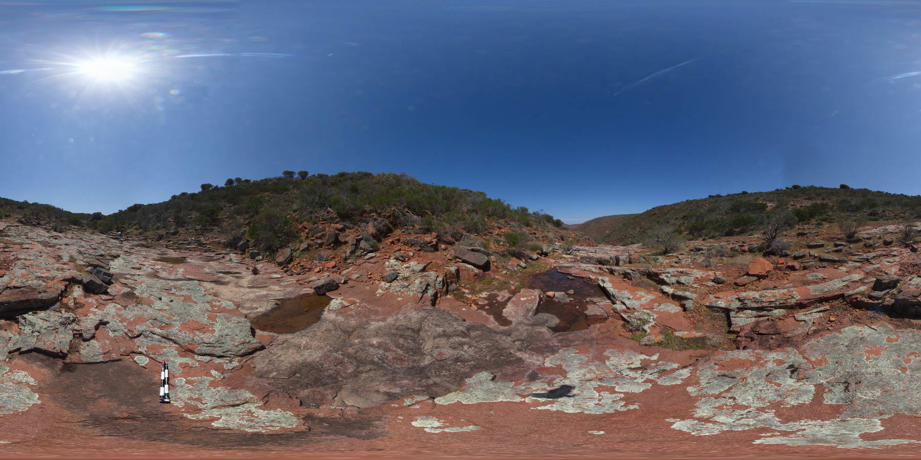
view looking down Organ Pipe Gorge, showing broken dacite columns and dacite pavement and ranges beyond. Organ pipe Gorge, Gawler Ranges. |
2000.00 |
-32.53795000000 |
135.29617000000 |
-9999.000 |
columnar, dacite, joint, pavement |
dacite |
BrachinaFSP11A Map
 |
5 |
11/27/2015 11:52 a.m. |
Full Spherical Panorama |
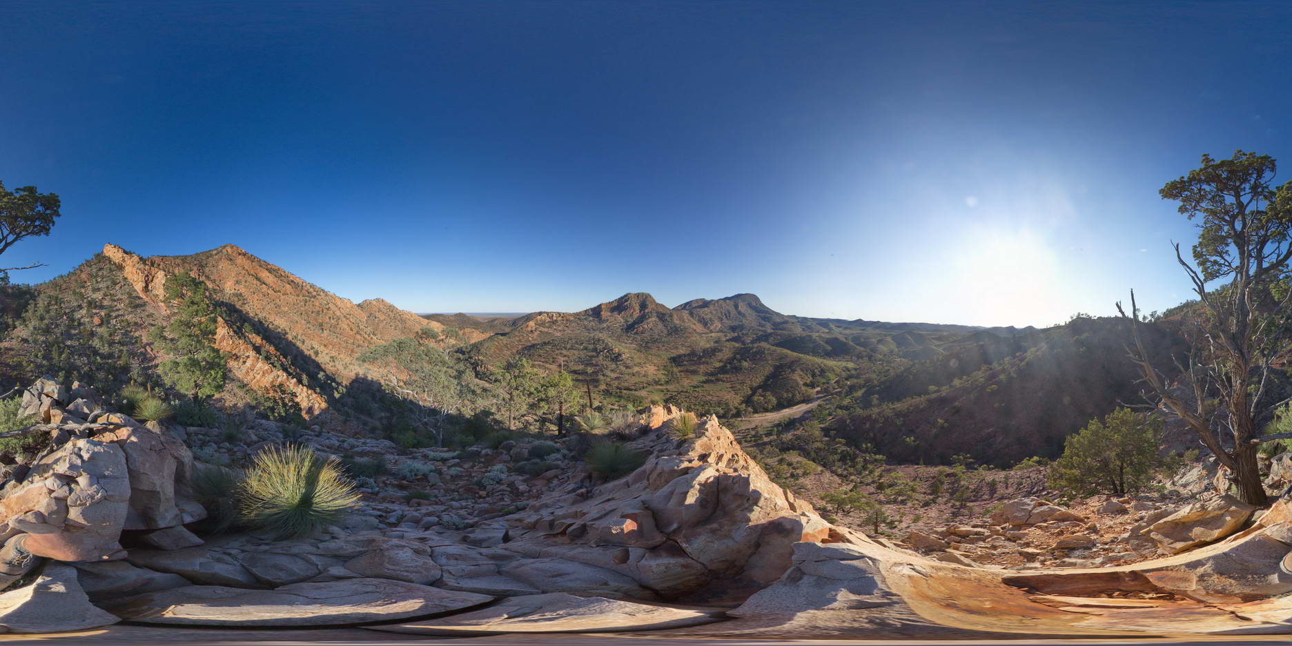
View of surrounding Rawnsley Quartzite from hill above Brachina Gorge Road. S.A. |
2000.00 |
-31.34548600000 |
138.56320200000 |
-9999.000 |
sediments |
quartzite |
CornyFSP3 Map
 |
0 |
01/27/2016 11:41 a.m. |
Full Spherical Panorama |
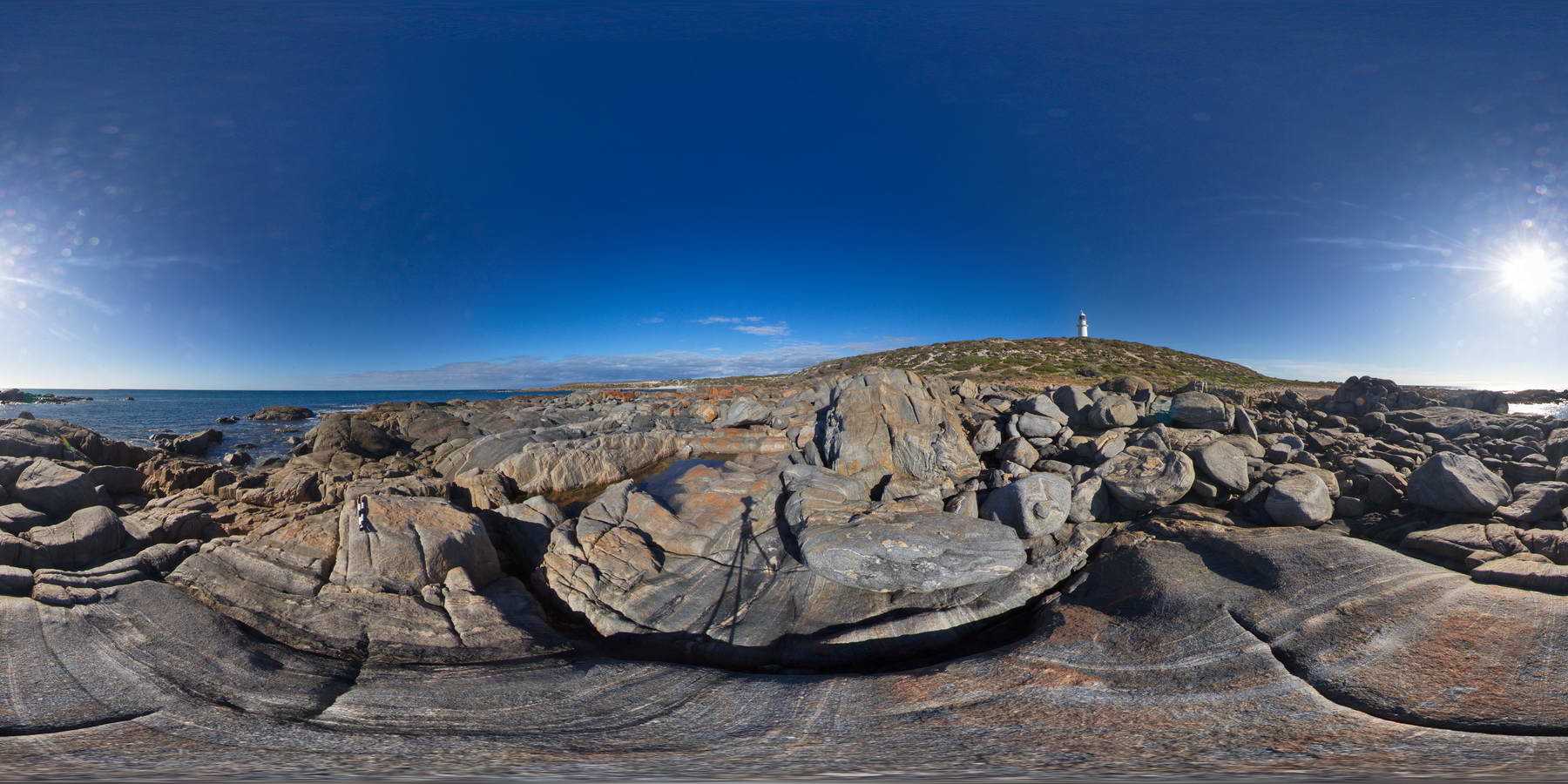
shoreline outcrop, showing boulders of banded and folded gneiss. Point Corny. S.A. |
2000.00 |
-34.89571000000 |
137.01054000000 |
-9999.000 |
banded gneiss, folded, metamorphic |
gneiss |
AmadFSP6 Map
 |
5 |
08/01/2016 12:47 p.m. |
Full Spherical Panorama |
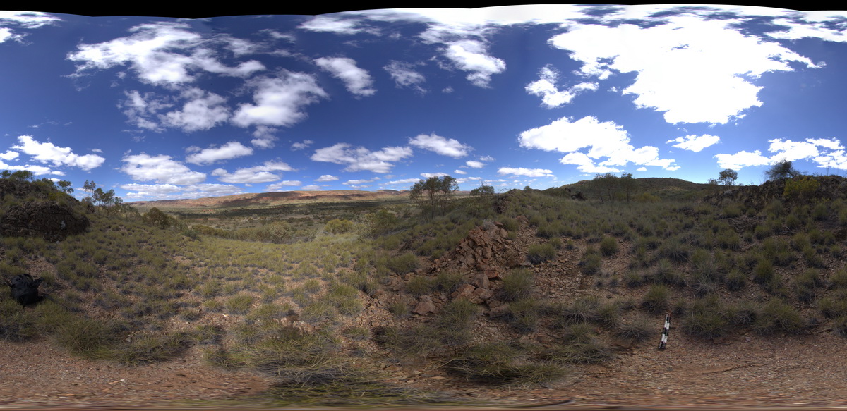
panorama view along road between Redbank Gorge and Ormiston Gorge. Line of steeply dipping strata on the ridge to the south. West MacDonnell National Park, N.T. |
2000.00 |
-23.65119300000 |
132.59554500000 |
706.566 |
dip, strata, structure |
siltstone |
DixonRangeFSP1 Map
 |
0 |
06/14/2016 noon |
Full Spherical Panorama |
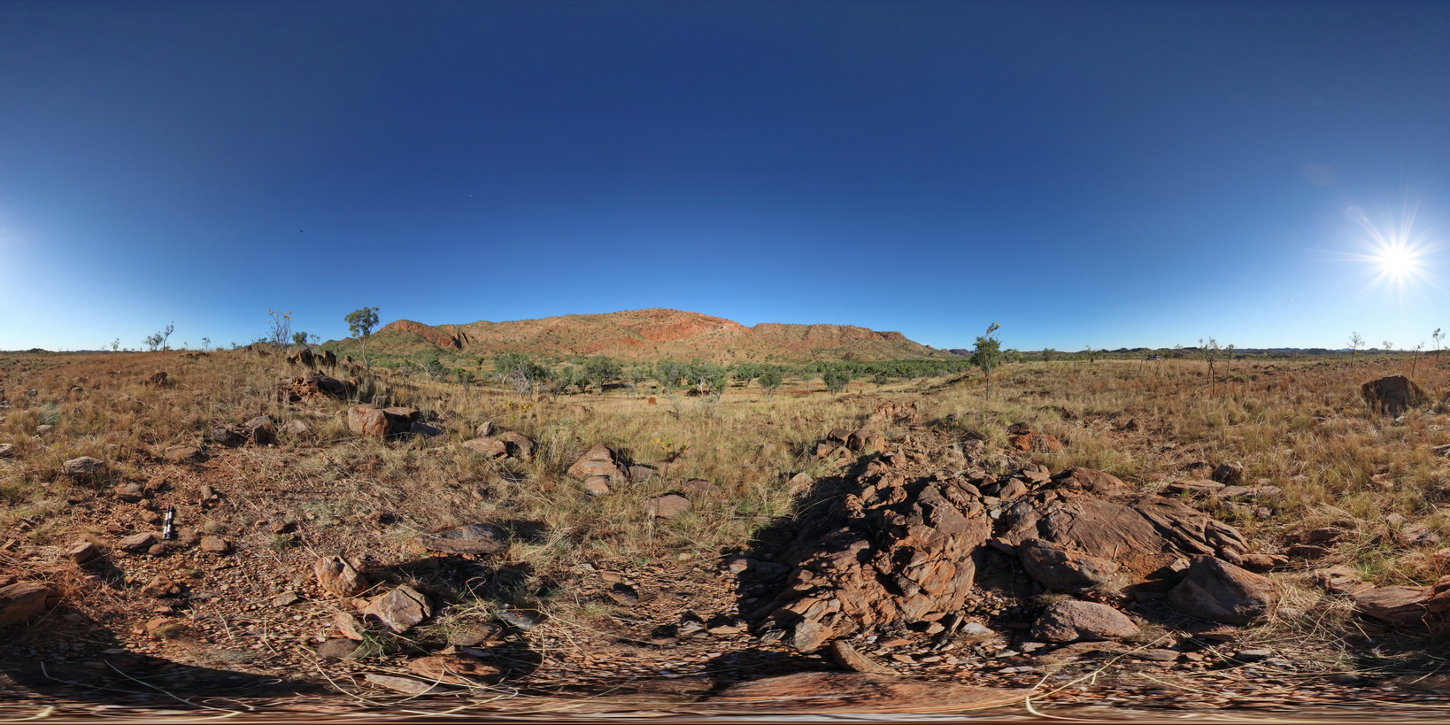
view of steep faults in metasediments / fault block terrane. Road Dixon Range, W.A. |
2000.00 |
-17.17853000000 |
128.24756000000 |
-9999.000 |
fault terrane, steep fault, metasediment, structure |
metasediment |
OlaryFSP1 Map
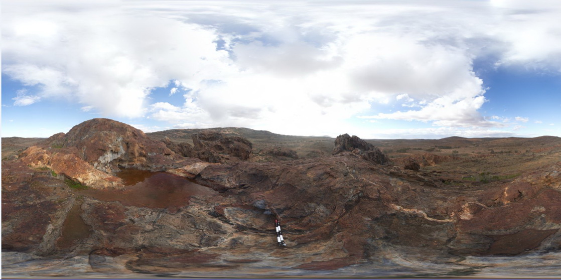 |
0 |
07/14/2015 11:38 a.m. |
Full Spherical Panorama |
3D view from Cathedral Rock, showing green (Amphibole?) veins and pegmatite dyke cross cutting metasediments. Olary. S.A. |
2000.00 |
-32.09031000000 |
140.31964000000 |
-9999.000 |
mineral vein, pegmatite dyke, metasediments, structure |
metasediments, pegmatite |
 AusGeol.org